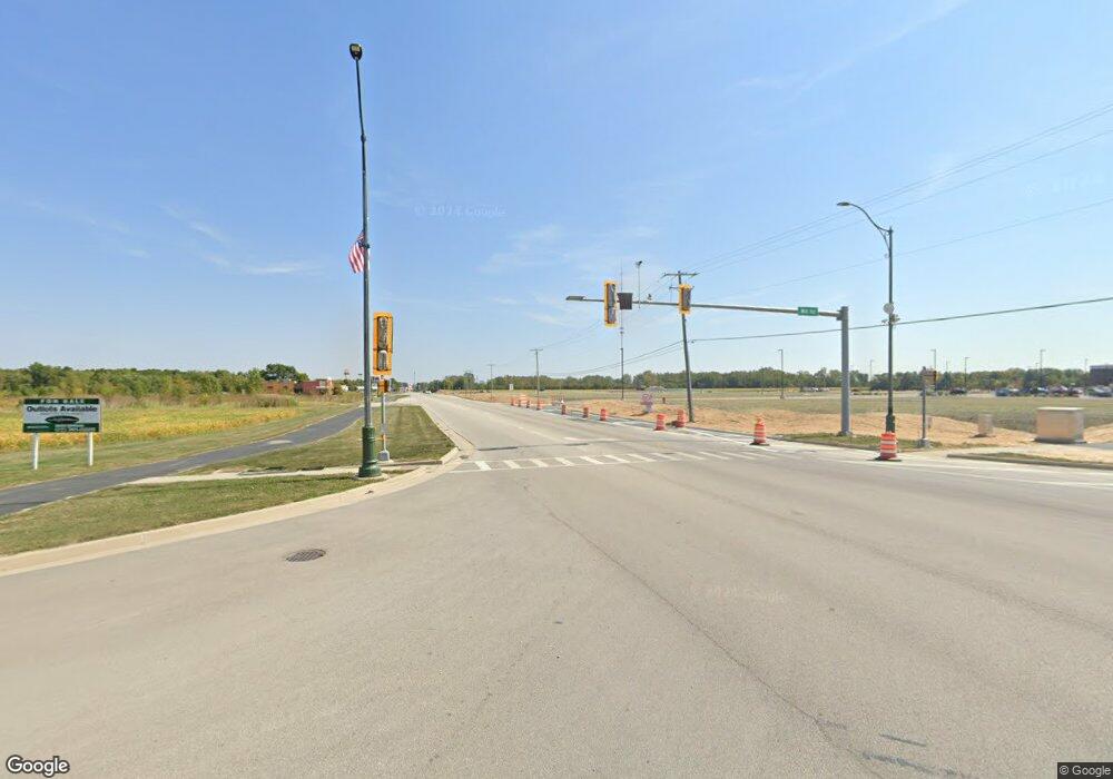
349 N Will Rd Braidwood, IL 60408
Estimated Value: $197,964 - $309,000
--
Bed
--
Bath
--
Sq Ft
1.35
Acres
About This Home
This home is located at 349 N Will Rd, Braidwood, IL 60408 and is currently estimated at $247,491. 349 N Will Rd is a home with nearby schools including Reed-Custer Intermediate School, Reed-Custer Middle School, and Reed-Custer High School.
Ownership History
Date
Name
Owned For
Owner Type
Purchase Details
Closed on
Jul 24, 2019
Sold by
Edgar Lucille M
Bought by
Kinnett Griffin T and Kinnett Amy K
Current Estimated Value
Home Financials for this Owner
Home Financials are based on the most recent Mortgage that was taken out on this home.
Original Mortgage
$92,025
Outstanding Balance
$81,320
Interest Rate
4.25%
Mortgage Type
New Conventional
Estimated Equity
$166,171
Purchase Details
Closed on
Jan 28, 2019
Sold by
Edgar John W
Bought by
Edgar Alexander John
Purchase Details
Closed on
Jun 9, 2018
Sold by
Edgar Lucille M and Peters Barbara R
Bought by
Edgar Lucile M
Create a Home Valuation Report for This Property
The Home Valuation Report is an in-depth analysis detailing your home's value as well as a comparison with similar homes in the area
Home Values in the Area
Average Home Value in this Area
Purchase History
| Date | Buyer | Sale Price | Title Company |
|---|---|---|---|
| Kinnett Griffin T | $91,105 | Fidelity National Title Ins | |
| Edgar Alexander John | -- | Attorney | |
| Edgar Lucile M | -- | Attorney |
Source: Public Records
Mortgage History
| Date | Status | Borrower | Loan Amount |
|---|---|---|---|
| Open | Kinnett Griffin T | $92,025 |
Source: Public Records
Tax History Compared to Growth
Tax History
| Year | Tax Paid | Tax Assessment Tax Assessment Total Assessment is a certain percentage of the fair market value that is determined by local assessors to be the total taxable value of land and additions on the property. | Land | Improvement |
|---|---|---|---|---|
| 2024 | $3,277 | $56,907 | $11,474 | $45,433 |
| 2023 | $3,277 | $50,969 | $10,277 | $40,692 |
| 2022 | $2,781 | $46,252 | $9,326 | $36,926 |
| 2021 | $3,100 | $44,146 | $8,901 | $35,245 |
| 2020 | $2,949 | $41,825 | $8,433 | $33,392 |
| 2019 | $2,795 | $39,495 | $7,963 | $31,532 |
| 2018 | $2,698 | $37,794 | $7,620 | $30,174 |
Source: Public Records
Map
Nearby Homes
- 1034 Madison Ave
- 1018 Madison Ave
- 1021 W Cermak Rd
- 999 W Cermak Rd
- 1065 W Main St
- 1055 W Main St
- 1195 Farmstone Dr
- 1185 Farmstone Dr
- 1175 Farmstone Dr
- 1165 Farmstone Dr
- 1170 Farmstone Dr
- 886 Western Ave
- 1110 S Sandstone Dr
- 0 S Will Rd
- 837 Blackhawk Dr
- 1055 S Heritage Dr
- 1115 Crystal Ln
- 116 S English St
- 998 W Kennedy Rd
- 975 S Laura Ln
- 1345 S Will Rd
- 401 N Will Rd
- 0 N Hickory St Unit 9662100
- 0 N Hickory St Unit 9269206
- 221 N Will Rd
- 345 N Hickory St
- 197 S Will Rd
- 201 Will Rd
- 1475 S Will Rd
- 1180 W First St
- 197 N Will Rd
- 181 S Will Rd
- 175 N Hickory St
- 1325 W Spring Rd
- 594 Will Rd
- 151 N Hickory St
- 1225 West Spring Rd
- 225 N Hickory St
- 153 N Hickory St
- 147 N Hickory St
