349 North End Blvd Salisbury, MA 01952
Estimated Value: $1,272,000 - $1,353,910
3
Beds
2
Baths
1,248
Sq Ft
$1,051/Sq Ft
Est. Value
About This Home
This home is located at 349 North End Blvd, Salisbury, MA 01952 and is currently estimated at $1,312,228, approximately $1,051 per square foot. 349 North End Blvd is a home located in Essex County with nearby schools including Triton Regional High School.
Ownership History
Date
Name
Owned For
Owner Type
Purchase Details
Closed on
Sep 4, 2019
Sold by
Silvia Nathan and Silvia Heather
Bought by
Silvia Rt
Current Estimated Value
Purchase Details
Closed on
Sep 12, 2018
Sold by
Sharyl Stjean T
Bought by
Silvia Nathan and Fritz Heather
Home Financials for this Owner
Home Financials are based on the most recent Mortgage that was taken out on this home.
Original Mortgage
$377,100
Interest Rate
4.6%
Mortgage Type
New Conventional
Create a Home Valuation Report for This Property
The Home Valuation Report is an in-depth analysis detailing your home's value as well as a comparison with similar homes in the area
Home Values in the Area
Average Home Value in this Area
Purchase History
| Date | Buyer | Sale Price | Title Company |
|---|---|---|---|
| Silvia Rt | -- | -- | |
| Silvia Nathan | $419,000 | -- |
Source: Public Records
Mortgage History
| Date | Status | Borrower | Loan Amount |
|---|---|---|---|
| Previous Owner | Silvia Nathan | $377,100 |
Source: Public Records
Tax History Compared to Growth
Tax History
| Year | Tax Paid | Tax Assessment Tax Assessment Total Assessment is a certain percentage of the fair market value that is determined by local assessors to be the total taxable value of land and additions on the property. | Land | Improvement |
|---|---|---|---|---|
| 2025 | $6,409 | $635,800 | $342,500 | $293,300 |
| 2024 | $6,387 | $611,200 | $342,500 | $268,700 |
| 2023 | $5,651 | $523,200 | $277,200 | $246,000 |
| 2022 | $5,021 | $450,700 | $255,400 | $195,300 |
| 2021 | $4,989 | $443,100 | $255,400 | $187,700 |
| 2020 | $4,778 | $416,900 | $255,400 | $161,500 |
| 2019 | $4,566 | $385,000 | $237,700 | $147,300 |
| 2018 | $4,271 | $362,600 | $226,800 | $135,800 |
| 2017 | $3,931 | $329,800 | $198,500 | $131,300 |
| 2016 | $3,898 | $334,000 | $198,500 | $135,500 |
| 2015 | $3,788 | $322,400 | $197,400 | $125,000 |
Source: Public Records
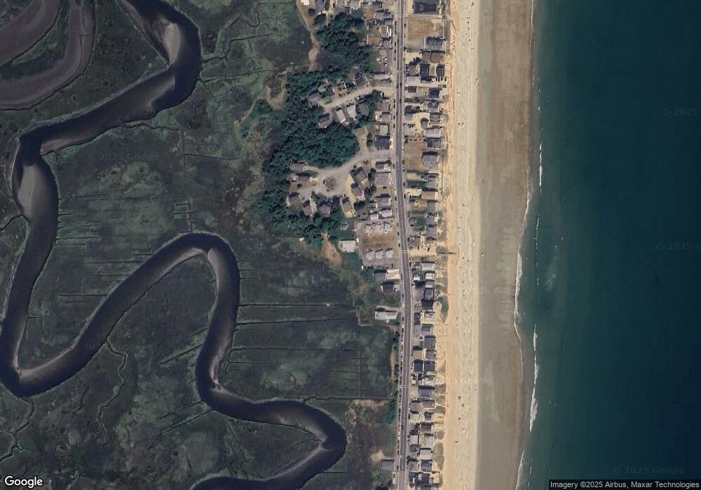
Map
Nearby Homes
- 10 Liberty St
- 432 N End Blvd
- 479 N End Blvd
- 188 N End Blvd Unit 3
- 492 N End Blvd
- 498 N End Blvd
- 178 N End Blvd Unit A
- 178 N End Blvd Unit C
- 178 N End Blvd Unit F
- 168 N End Blvd
- 522 N End Blvd
- 98 Central Ave
- 595 N End Blvd Unit 2
- 308 State Route 286 Unit Lot 73
- 308 State Route 286 Unit Lot 108
- 308 State Route 286 Unit Lot 87
- 38-40 Central Ave
- 16 N End Blvd Unit 10
- 16 N End Blvd Unit 8
- 16 N End Blvd Unit 3
- 349 N End Blvd
- 355 North End Blvd Unit 6
- 355 North End Blvd Unit 5
- 355 North End Blvd Unit 4
- 355 North End Blvd Unit 3
- 355 North End Blvd Unit 2
- 355 North End Blvd Unit 1
- 355 North End Blvd Unit 355
- 5 Coulson Pratt Dr
- 347 North End Blvd
- 5 Coulson-Pratt Dr Unit 5
- 7 Coulson-Pratt Dr
- 355 N End Blvd Unit 5
- 361 North End Blvd
- 3 Coulson Pratt Dr
- 7 Coulson Pratt Dr
- 363 North End Blvd
- 9 Coulson-Pratt Dr Unit 9
- 345 North End Blvd
- 345 North End Blvd