Estimated Value: $276,951 - $548,000
1
Bed
1
Bath
1,668
Sq Ft
$254/Sq Ft
Est. Value
About This Home
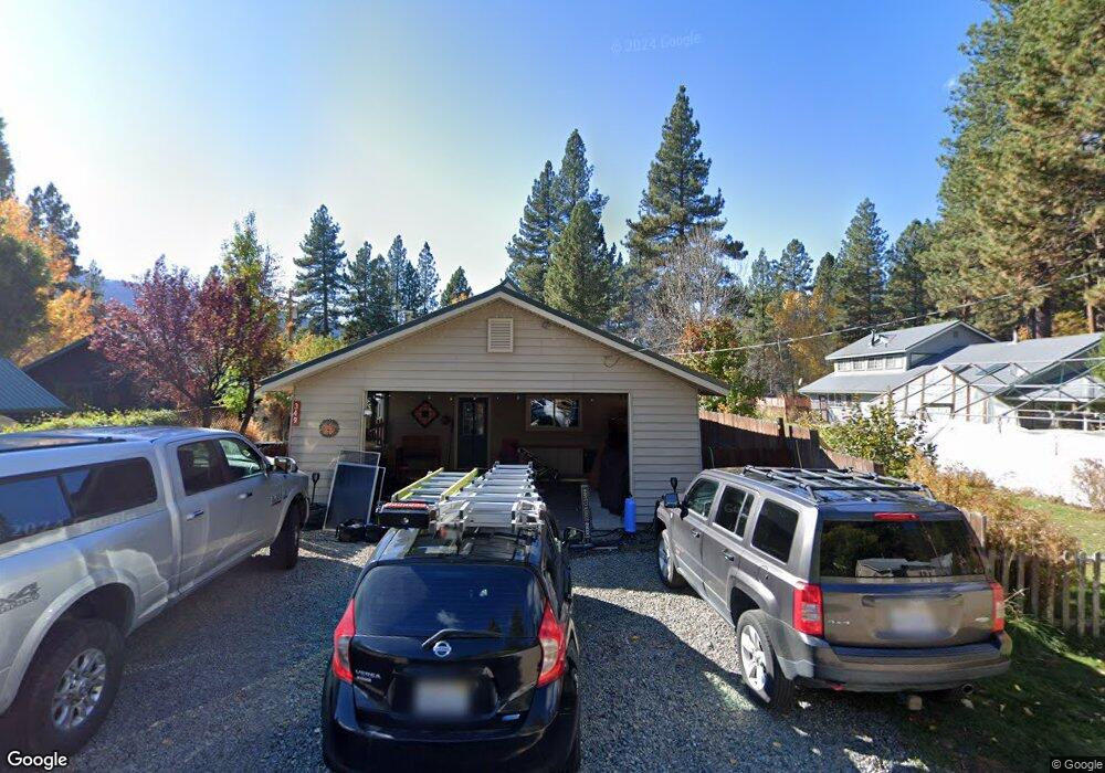
This home is located at 349 Pine St, Clio, CA 96106 and is currently estimated at $422,988, approximately $253 per square foot. 349 Pine St is a home.
Ownership History
Date
Name
Owned For
Owner Type
Purchase Details
Closed on
Jul 17, 2013
Sold by
Wolcott Janine
Bought by
Wolcott Janine and The Dennis & Janine Wolcott Re
Current Estimated Value
Purchase Details
Closed on
May 28, 2003
Sold by
Wolcott Dennis Lee
Bought by
Wolcott Janine Kinney
Home Financials for this Owner
Home Financials are based on the most recent Mortgage that was taken out on this home.
Original Mortgage
$184,000
Interest Rate
5.71%
Mortgage Type
Purchase Money Mortgage
Create a Home Valuation Report for This Property
The Home Valuation Report is an in-depth analysis detailing your home's value as well as a comparison with similar homes in the area
Purchase History
| Date | Buyer | Sale Price | Title Company |
|---|---|---|---|
| Wolcott Janine | -- | None Available | |
| Wolcott Janine Kinney | -- | Cal-Sierra Title Company |
Source: Public Records
Mortgage History
| Date | Status | Borrower | Loan Amount |
|---|---|---|---|
| Previous Owner | Wolcott Janine Kinney | $184,000 |
Source: Public Records
Tax History
| Year | Tax Paid | Tax Assessment Tax Assessment Total Assessment is a certain percentage of the fair market value that is determined by local assessors to be the total taxable value of land and additions on the property. | Land | Improvement |
|---|---|---|---|---|
| 2025 | $128 | $150,642 | $20,679 | $129,963 |
| 2023 | $128 | $144,794 | $19,877 | $124,917 |
| 2022 | $1,592 | $141,956 | $19,488 | $122,468 |
| 2021 | $1,517 | $139,173 | $19,106 | $120,067 |
| 2020 | $1,549 | $137,747 | $18,911 | $118,836 |
| 2019 | $1,519 | $135,047 | $18,541 | $116,506 |
| 2018 | $1,455 | $132,400 | $18,178 | $114,222 |
| 2017 | $1,447 | $129,805 | $17,822 | $111,983 |
| 2016 | $1,337 | $127,261 | $17,473 | $109,788 |
| 2015 | $1,331 | $125,350 | $17,211 | $108,139 |
| 2014 | $1,307 | $122,895 | $16,874 | $106,021 |
Source: Public Records
Map
Nearby Homes
- 412 Valley Ranch Dr
- 1269 Valley Ranch Dr
- 32 Cody Dr
- 440 Valley Ranch Dr
- 77 Cody Dr
- 1307 Valley Ranch Dr
- 1341 Valley Ranch Dr
- 1359 Valley Ranch Dr
- 49 Wishram Trail
- 38 Tolowa Trail
- 460 Cottontail Rd
- 755 Carmichael Rd
- 59 Yonkalla Trail
- 61 Paiute Trail
- 28 Graeagle Meadows Rd
- 39 Graeagle Meadows Rd
- 2729 Water Way
- 85 Graeagle Meadows Rd
- 2 Washo Trail
- 670 Redtail Loop Rd
Your Personal Tour Guide
Ask me questions while you tour the home.