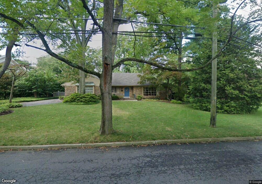
349 Station Ave Haddonfield, NJ 08033
Estimated Value: $1,345,311 - $1,591,000
3
Beds
4
Baths
2,664
Sq Ft
$548/Sq Ft
Est. Value
About This Home
This home is located at 349 Station Ave, Haddonfield, NJ 08033 and is currently estimated at $1,459,104, approximately $547 per square foot. 349 Station Ave is a home located in Camden County with nearby schools including Haddonfield Memorial High School and Haddonfield Friends School.
Ownership History
Date
Name
Owned For
Owner Type
Purchase Details
Closed on
Dec 20, 2011
Sold by
Glezerman Randolph D and Glezerman Wanda J
Bought by
Omara Michael J and Omara Constance D
Current Estimated Value
Home Financials for this Owner
Home Financials are based on the most recent Mortgage that was taken out on this home.
Original Mortgage
$240,000
Outstanding Balance
$24,834
Interest Rate
3.3%
Mortgage Type
New Conventional
Estimated Equity
$1,434,270
Create a Home Valuation Report for This Property
The Home Valuation Report is an in-depth analysis detailing your home's value as well as a comparison with similar homes in the area
Home Values in the Area
Average Home Value in this Area
Purchase History
| Date | Buyer | Sale Price | Title Company |
|---|---|---|---|
| Omara Michael J | $640,000 | -- |
Source: Public Records
Mortgage History
| Date | Status | Borrower | Loan Amount |
|---|---|---|---|
| Open | Omara Michael J | $240,000 |
Source: Public Records
Tax History Compared to Growth
Tax History
| Year | Tax Paid | Tax Assessment Tax Assessment Total Assessment is a certain percentage of the fair market value that is determined by local assessors to be the total taxable value of land and additions on the property. | Land | Improvement |
|---|---|---|---|---|
| 2025 | $24,233 | $750,000 | $409,000 | $341,000 |
| 2024 | $23,910 | $750,000 | $409,000 | $341,000 |
| 2023 | $23,910 | $750,000 | $409,000 | $341,000 |
| 2022 | $23,723 | $750,000 | $409,000 | $341,000 |
| 2021 | $23,603 | $750,000 | $409,000 | $341,000 |
| 2020 | $23,438 | $750,000 | $409,000 | $341,000 |
| 2019 | $23,250 | $750,000 | $409,000 | $341,000 |
| 2018 | $22,973 | $750,000 | $409,000 | $341,000 |
| 2017 | $22,425 | $750,000 | $409,000 | $341,000 |
| 2016 | $21,923 | $750,000 | $409,000 | $341,000 |
| 2015 | $21,315 | $750,000 | $409,000 | $341,000 |
| 2014 | $20,843 | $750,000 | $409,000 | $341,000 |
Source: Public Records
Map
Nearby Homes
- 341 Station Ave
- 351 Bellevue Ave
- 320 Warwick Rd
- 301 Bradshaw Ave
- 108 Avondale Ave
- 634 W Redman Ave
- 125 W Summit Ave
- 428 Mansfield Ave
- 2 Loucroft Ave
- 38 Birchall Dr
- 120 Kings Hwy W
- 33 Estaugh Ave
- 656 W Crystal Lake Ave
- 315 Peyton Ave
- 315 Hutchinson Ave
- 63 Truman Ave
- 233 E Kings Hwy
- 425 Peltoma Rd
- 302 3rd Ave
- 130 Centre St
- 355 Station Ave
- 345 Station Ave
- 328 Knolltop Ln
- 324 Knolltop Ln
- 338 Station Ave
- 344 Station Ave
- 361 Station Ave
- 332 Knolltop Ln
- 330 Station Ave
- 350 Station Ave
- 319 Knolltop Ln
- 320 Knolltop Ln
- 326 Station Ave
- 365 Station Ave
- 356 Station Ave
- 336 Knolltop Ln
- 337 Station Ave
- 315 Knolltop Ln
- 316 Knolltop Ln
- 320 Station Ave