34911 SE Homan Rd Gresham, OR 97080
Sandy River NeighborhoodEstimated Value: $1,055,000 - $1,453,477
About This Home
This home is located at 34911 SE Homan Rd, Gresham, OR 97080 and is currently estimated at $1,254,239, approximately $890 per square foot. 34911 SE Homan Rd is a home located in Multnomah County with nearby schools including East Orient Elementary School, West Orient Middle School, and Sam Barlow High School.
Ownership History
We collect this data history from publicly available records. To have your information removed, we recommend requesting removal directly through your county’s website.
Purchase Details
Purchase Details
Home Financials for this Owner
Home Financials are based on the most recent Mortgage that was taken out on this home.Home Values in the Area
Average Home Value in this Area
Purchase History
We collect this data history from publicly available records. To have your information removed, we recommend requesting removal directly through your county’s website.
| Date | Buyer | Sale Price | Title Company |
|---|---|---|---|
| -- | None Listed On Document | ||
| $400,000 | First American |
Mortgage History
We collect this data history from publicly available records. To have your information removed, we recommend requesting removal directly through your county’s website.
| Date | Status | Borrower | Loan Amount |
|---|---|---|---|
| Previous Owner | $360,000 |
Tax History
We collect this data history from publicly available records. To have your information removed, we recommend requesting removal directly through your county’s website.
| Year | Tax Paid | Tax Assessment Tax Assessment Total Assessment is a certain percentage of the fair market value that is determined by local assessors to be the total taxable value of land and additions on the property. | Land | Improvement |
|---|---|---|---|---|
| 2025 | $10,208 | $578,340 | -- | -- |
| 2024 | $9,757 | $561,840 | -- | -- |
| 2023 | $7,952 | $454,570 | $0 | $0 |
| 2022 | $7,734 | $441,330 | $0 | $0 |
| 2021 | $7,540 | $428,480 | $0 | $0 |
| 2020 | $7,068 | $416,000 | $0 | $0 |
| 2019 | $6,856 | $403,896 | $0 | $0 |
| 2018 | $2,770 | $164,560 | $0 | $0 |
| 2017 | $2,666 | $150,050 | $0 | $0 |
| 2016 | $2,335 | $155,110 | $0 | $0 |
| 2015 | $5,081 | $337,420 | $0 | $0 |
| 2014 | $4,918 | $327,600 | $0 | $0 |
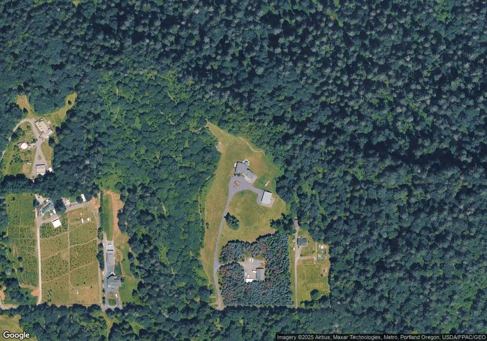
Map
- 0 SE Gordon Creek Rd
- 7411 SE Cottrell Rd
- 36435 SE Gordon Creek Rd
- 8207 SE Cottrell Rd
- 33410 SE Carpenter Ln
- 36250 SE Hurlburt Rd
- 31616 SE Pipeline Rd
- 31563 SE Lusted Rd
- 7137 SE 322nd Ave
- 32211 SE Proctor St
- 31870 SE Grace St
- 31330 SE Victory Rd
- 3516 SW Binford Ave
- 31216 SE Division Dr
- 30945 SE Lusted Rd
- 38041 SE Rickert Rd
- 32720 SE Hurlburt Rd
- 5535 SE 302nd Ave
- 38125 SE Louden Rd
- 139 SE Curtis Dr
- 35133 SE Homan Rd
- 34623 SE Relisted Nwre Unit 1
- 34623 SE Relisted Nwre
- 34725 SE Homan Rd
- 5238 SE Oxbow Pkwy
- 35226 SE Homan Rd
- 4744 SE Oxbow Pkwy
- 4744 SE Oxbow Pw
- 34623 SE Homan Rd Unit 1
- 34623 SE Homan Rd
- 4844 SE Oxbow Pkwy
- 5410 SE Oxbow Pkwy
- 35200 SE Homan Rd
- 4625 SE Oxbow Pkwy
- 4728 SE Oxbow Pkwy
- 5824 SE Hosner Rd
- 4632 SE Oxbow Pkwy
- 4450 SE Oxbow Pkwy
- 4350 SE Oxbow Pkwy
- 4567 SE Oxbow Pkwy
Ask me questions while you tour the home.