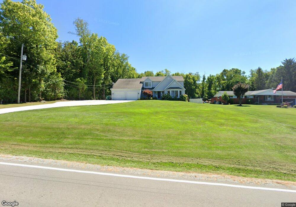
3495 Moorefield Rd Springfield, OH 45502
Estimated Value: $443,000 - $516,000
4
Beds
4
Baths
3,362
Sq Ft
$140/Sq Ft
Est. Value
About This Home
This home is located at 3495 Moorefield Rd, Springfield, OH 45502 and is currently estimated at $471,281, approximately $140 per square foot. 3495 Moorefield Rd is a home located in Clark County with nearby schools including Northridge Elementary School, Kenton Ridge Middle & High School, and Emmanuel Christian Academy.
Ownership History
Date
Name
Owned For
Owner Type
Purchase Details
Closed on
Jun 4, 2002
Sold by
Patton John T and Patton Deborah S
Bought by
Dunn Shelby L and Dunn Rebecca M
Current Estimated Value
Home Financials for this Owner
Home Financials are based on the most recent Mortgage that was taken out on this home.
Original Mortgage
$191,900
Interest Rate
7%
Purchase Details
Closed on
Jul 28, 1992
Create a Home Valuation Report for This Property
The Home Valuation Report is an in-depth analysis detailing your home's value as well as a comparison with similar homes in the area
Purchase History
| Date | Buyer | Sale Price | Title Company |
|---|---|---|---|
| Dunn Shelby L | $239,900 | -- | |
| -- | $131,600 | -- |
Source: Public Records
Mortgage History
| Date | Status | Borrower | Loan Amount |
|---|---|---|---|
| Previous Owner | Dunn Shelby L | $191,900 | |
| Closed | Dunn Shelby L | $35,950 |
Source: Public Records
Tax History
| Year | Tax Paid | Tax Assessment Tax Assessment Total Assessment is a certain percentage of the fair market value that is determined by local assessors to be the total taxable value of land and additions on the property. | Land | Improvement |
|---|---|---|---|---|
| 2025 | $5,164 | $135,370 | $15,260 | $120,110 |
| 2024 | $4,994 | $118,100 | $11,840 | $106,260 |
| 2023 | $4,994 | $118,100 | $11,840 | $106,260 |
| 2022 | $4,850 | $118,100 | $11,840 | $106,260 |
| 2021 | $4,850 | $96,840 | $9,700 | $87,140 |
| 2020 | $4,854 | $96,840 | $9,700 | $87,140 |
| 2019 | $4,947 | $96,840 | $9,700 | $87,140 |
| 2018 | $4,491 | $84,390 | $8,980 | $75,410 |
| 2017 | $3,849 | $84,400 | $8,985 | $75,415 |
| 2016 | $3,822 | $84,400 | $8,985 | $75,415 |
| 2015 | $3,646 | $77,547 | $8,985 | $68,562 |
| 2014 | $3,646 | $77,547 | $8,985 | $68,562 |
| 2013 | $3,561 | $77,547 | $8,985 | $68,562 |
Source: Public Records
Map
Nearby Homes
- 5060 Morris Rd
- 4293 Yale St
- 4500 Bosart Rd
- 5670 Prairie Rd
- 4273 Kay Ave
- 4607 Plateau Dr S
- 4028 Ryland Dr Unit 4028
- 1977 Willoughby Ave
- 1836 Dunseth Ln
- 4652 Reno Ln Unit 15
- 1709 Thomas Dr
- 4577 Reno Ln Unit 2
- 1812 Willow Lakes Dr
- 1921 Elaina Dr
- 5033 Ridgewood Rd E
- 1521 Erika Dr
- 4446 Ridgewood Rd E Unit 3
- 5564 Ridgewood Rd E Unit 7
- 1495 Victorian Way
- 1469 Victorian Way
- 3457 Moorefield Rd
- 3505 Moorefield Rd
- 5011 Morris Rd
- 3515 Moorefield Rd
- 3479 Moorefield Rd
- 3320 Moorefield Rd
- 3525 Moorefield Rd
- 5052 Morris Rd Unit 2
- 3535 Moorefield Rd
- 5114 Morris Rd
- 3635 Moorefield Rd
- 3315 Moorefield Rd
- 5060 Morris Rd Unit 1
- 5054 Morris Rd Unit 4
- 5054 Morris Rd
- 5140 Morris Rd
- 5056 Morris Rd Unit 3
- 5056 Morris Rd
- 3660 Moorefield Rd
- 3475 Moorefield Rd
Your Personal Tour Guide
Ask me questions while you tour the home.