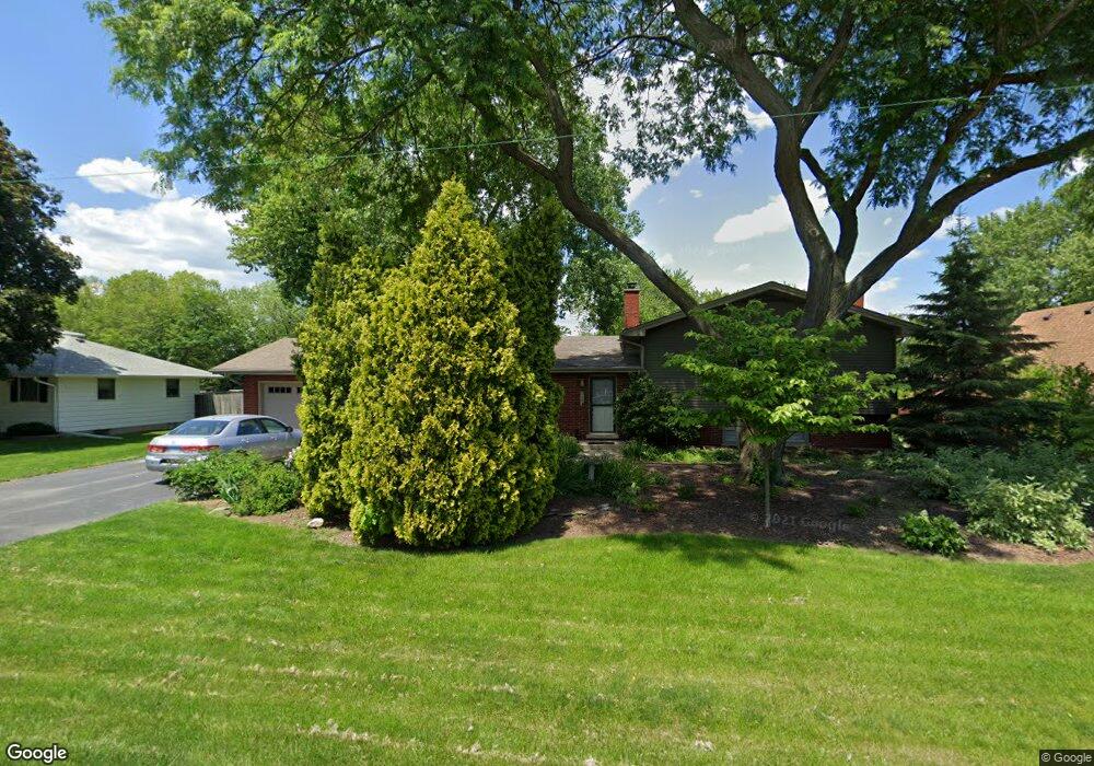
34W246 Giese Rd Unit 1 Batavia, IL 60510
Southeast Batavia NeighborhoodEstimated Value: $374,000 - $457,000
3
Beds
--
Bath
1,379
Sq Ft
$290/Sq Ft
Est. Value
About This Home
This home is located at 34W246 Giese Rd Unit 1, Batavia, IL 60510 and is currently estimated at $399,551, approximately $289 per square foot. 34W246 Giese Rd Unit 1 is a home located in Kane County with nearby schools including Hoover Wood Elementary School, Sam Rotolo Middle School, and Batavia Sr High School.
Ownership History
Date
Name
Owned For
Owner Type
Purchase Details
Closed on
May 9, 1995
Sold by
Weaver Donald R and Weaver Corliss A
Bought by
Jimenez Richard M and Jimenez Kimberley A
Current Estimated Value
Home Financials for this Owner
Home Financials are based on the most recent Mortgage that was taken out on this home.
Original Mortgage
$110,000
Interest Rate
8.39%
Create a Home Valuation Report for This Property
The Home Valuation Report is an in-depth analysis detailing your home's value as well as a comparison with similar homes in the area
Home Values in the Area
Average Home Value in this Area
Purchase History
| Date | Buyer | Sale Price | Title Company |
|---|---|---|---|
| Jimenez Richard M | $147,000 | Chicago Title Insurance Co |
Source: Public Records
Mortgage History
| Date | Status | Borrower | Loan Amount |
|---|---|---|---|
| Closed | Jimenez Richard M | $110,000 |
Source: Public Records
Tax History Compared to Growth
Tax History
| Year | Tax Paid | Tax Assessment Tax Assessment Total Assessment is a certain percentage of the fair market value that is determined by local assessors to be the total taxable value of land and additions on the property. | Land | Improvement |
|---|---|---|---|---|
| 2024 | $7,444 | $108,463 | $31,374 | $77,089 |
| 2023 | $7,352 | $98,441 | $28,475 | $69,966 |
| 2022 | $6,868 | $88,887 | $26,612 | $62,275 |
| 2021 | $6,590 | $84,301 | $25,239 | $59,062 |
| 2020 | $6,415 | $82,681 | $24,754 | $57,927 |
| 2019 | $6,321 | $79,754 | $23,878 | $55,876 |
| 2018 | $6,078 | $76,716 | $22,968 | $53,748 |
| 2017 | $5,925 | $74,187 | $22,211 | $51,976 |
| 2016 | $5,830 | $72,026 | $21,564 | $50,462 |
| 2015 | -- | $70,386 | $21,073 | $49,313 |
| 2014 | -- | $68,171 | $20,410 | $47,761 |
| 2013 | -- | $71,779 | $22,485 | $49,294 |
Source: Public Records
Map
Nearby Homes
- 1335 Chillem Dr
- 1136 Pine Ct
- 943 Orchard Ct
- 1667 S Raddant Rd
- 918 S Raddant Rd
- 610 Norcross Dr
- 941 Stanton St
- 473 Bond Dr
- 509 S Forest Ave
- Lot 4 Manchester Ave
- 1148 Miller Ct
- 445 Chillem Dr
- 733 Wind Energy Pass
- 860 S River St
- 1580 Wind Energy Pass
- 604 S Van Buren St
- 3S201 S Raddant Rd
- 1548 Wind Energy Pass
- 532 S Van Buren St
- 316 Locust St
- 34W268 Giese Rd
- 34W236 Giese Rd
- 34w Giese Rd
- 34W253 Sunset Dr
- 34W229 Sunset Dr
- 34W271 Sunset Dr Unit 1
- 1021 Deshannon Ct
- 1102 Giese Rd
- 34W287 Sunset Dr
- 1017 Deshannon Ct
- 34W211 Giese Rd
- 2S311 Sunset Dr
- 1013 Deshannon Ct
- 34W305 Sunset Dr
- 1206 Beckman Ln
- 1146 Giese Rd Unit 1
- 34W220 Sunset Dr
- 2S307 Sunset Dr Unit 2
- 1136 S Raddant Rd
- 34W254 Sunset Dr