35 Butterworth Farm Rd Cumberland Center, ME 04021
Estimated Value: $608,952 - $650,000
3
Beds
4
Baths
1,406
Sq Ft
$452/Sq Ft
Est. Value
About This Home
This home is located at 35 Butterworth Farm Rd, Cumberland Center, ME 04021 and is currently estimated at $635,984, approximately $452 per square foot. 35 Butterworth Farm Rd is a home located in Cumberland County with nearby schools including Mabel I. Wilson School, Greely Middle School 4-5, and Greely Middle School.
Ownership History
Date
Name
Owned For
Owner Type
Purchase Details
Closed on
Jun 26, 2009
Sold by
Wilkinson Samuel A
Bought by
Wilkinson Sally B
Current Estimated Value
Create a Home Valuation Report for This Property
The Home Valuation Report is an in-depth analysis detailing your home's value as well as a comparison with similar homes in the area
Home Values in the Area
Average Home Value in this Area
Purchase History
| Date | Buyer | Sale Price | Title Company |
|---|---|---|---|
| Wilkinson Sally B | -- | -- |
Source: Public Records
Mortgage History
| Date | Status | Borrower | Loan Amount |
|---|---|---|---|
| Previous Owner | Wilkinson Sally B | $20,000 | |
| Previous Owner | Wilkinson Sally B | $10,000 |
Source: Public Records
Tax History Compared to Growth
Tax History
| Year | Tax Paid | Tax Assessment Tax Assessment Total Assessment is a certain percentage of the fair market value that is determined by local assessors to be the total taxable value of land and additions on the property. | Land | Improvement |
|---|---|---|---|---|
| 2024 | $7,115 | $306,000 | $133,400 | $172,600 |
| 2023 | $6,778 | $306,000 | $133,400 | $172,600 |
| 2022 | $6,487 | $306,000 | $133,400 | $172,600 |
| 2021 | $6,288 | $306,000 | $133,400 | $172,600 |
| 2020 | $6,227 | $306,000 | $133,400 | $172,600 |
| 2019 | $6,074 | $306,000 | $133,400 | $172,600 |
| 2018 | $6,074 | $308,300 | $133,400 | $174,900 |
| 2017 | $5,796 | $308,300 | $133,400 | $174,900 |
| 2016 | $5,626 | $308,300 | $133,400 | $174,900 |
| 2015 | $5,580 | $308,300 | $133,400 | $174,900 |
| 2014 | $5,364 | $308,300 | $133,400 | $174,900 |
| 2013 | $5,241 | $308,300 | $133,400 | $174,900 |
Source: Public Records
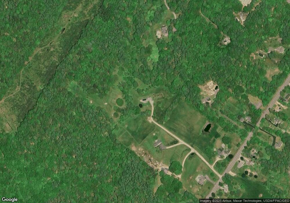
Map
Nearby Homes
- 186 Foreside Rd
- 25 Powell Rd
- 99 Chets Way
- 16 Town Landing Rd
- 1 Ledge Rd
- 254 Foreside Rd
- 10 Casco Bay Dr
- Lot 8 Coastal Pines
- 90 Harris Lot 1 Rd
- 11 Coastal Pines Lot 5
- TBD Coastal Pines Lot 2
- TBD Coastal Pines Lot 8
- TBD Harris Lot 2 Rd
- 276 Foreside Rd
- 21 Ledge Rd
- 30 Stony Ridge Rd
- 445 Portland St
- 6 Ebb Tide Dr
- 44 Essex Dr
- Lot 3 Dunham Ln
- 22 Butterworth Farm Rd
- Lot 3 Butterworth Farm Rd
- 140 Middle Rd
- 64 Tuttle Rd
- 5 Butterworth Farm Rd
- 54 Tuttle Rd
- 126 Middle Rd
- 142 Middle Rd
- 146 Middle Rd
- 133 Middle Rd
- 21 Pumpkin Hollow
- 129 Middle Rd
- 50 Tuttle Rd
- 122 Middle Rd
- 125 Middle Rd
- 147 Middle Rd
- 145 Middle Rd
- 141 Middle Rd
- 151 Middle Rd
- 158 Middle Rd