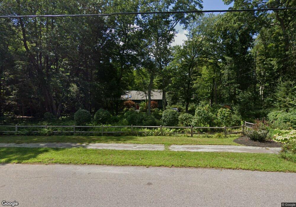
35 Carl Rd Walpole, MA 02081
Estimated Value: $867,681 - $1,018,000
4
Beds
3
Baths
2,044
Sq Ft
$452/Sq Ft
Est. Value
About This Home
This home is located at 35 Carl Rd, Walpole, MA 02081 and is currently estimated at $924,670, approximately $452 per square foot. 35 Carl Rd is a home located in Norfolk County with nearby schools including Elm Street School, Eleanor N. Johnson Middle School, and Walpole High School.
Ownership History
Date
Name
Owned For
Owner Type
Purchase Details
Closed on
Feb 12, 2009
Sold by
Coop Evalea M
Bought by
Coop Rt and Coop Eva M
Current Estimated Value
Purchase Details
Closed on
Jun 15, 1992
Sold by
Bragg Jeffrey S
Bought by
Hurst Ronald B and Hurst Denise M
Home Financials for this Owner
Home Financials are based on the most recent Mortgage that was taken out on this home.
Original Mortgage
$170,000
Interest Rate
8.79%
Mortgage Type
Purchase Money Mortgage
Create a Home Valuation Report for This Property
The Home Valuation Report is an in-depth analysis detailing your home's value as well as a comparison with similar homes in the area
Home Values in the Area
Average Home Value in this Area
Purchase History
| Date | Buyer | Sale Price | Title Company |
|---|---|---|---|
| Coop Rt | -- | -- | |
| Hurst Ronald B | $220,000 | -- |
Source: Public Records
Mortgage History
| Date | Status | Borrower | Loan Amount |
|---|---|---|---|
| Previous Owner | Hurst Ronald B | $170,000 |
Source: Public Records
Tax History Compared to Growth
Tax History
| Year | Tax Paid | Tax Assessment Tax Assessment Total Assessment is a certain percentage of the fair market value that is determined by local assessors to be the total taxable value of land and additions on the property. | Land | Improvement |
|---|---|---|---|---|
| 2025 | $10,001 | $779,500 | $364,500 | $415,000 |
| 2024 | $9,729 | $735,900 | $350,900 | $385,000 |
| 2023 | $9,280 | $668,100 | $305,600 | $362,500 |
| 2022 | $8,738 | $604,300 | $282,400 | $321,900 |
| 2021 | $8,396 | $565,800 | $266,100 | $299,700 |
| 2020 | $8,135 | $542,700 | $251,600 | $291,100 |
| 2019 | $7,924 | $524,800 | $243,000 | $281,800 |
| 2018 | $7,713 | $505,100 | $232,000 | $273,100 |
| 2017 | $7,464 | $486,900 | $223,500 | $263,400 |
| 2016 | $7,436 | $477,900 | $226,600 | $251,300 |
| 2015 | $7,114 | $453,100 | $217,400 | $235,700 |
| 2014 | $6,758 | $428,800 | $217,400 | $211,400 |
Source: Public Records
Map
Nearby Homes
- 43 Chandler Ave
- 533 Lincoln Rd
- 1648 Main St
- 12 Brookside Ln
- 375 Winter St
- 14 Tiger Terrace Unit 29
- 13 Sandtrap Cir Unit 14
- 11 Sandtrap Cir Unit 15
- 20 Sandtrap Cir Unit 4
- 18 Sandtrap Cir Unit 3
- 17 Sandtrap Cir Unit 12
- 15 Sandtrap Cir Unit 13
- 27 Thomas Mann Cir Unit 18
- 28 Thomas Mann Cir Unit Lot 38
- 37 Thomas Mann Cir Unit 23
- 10 Sandtrap Cir Unit 2
- 31 Sandtrap Cir Unit 5
- 42 Thomas Mann Unit 39
- 195 Lincoln Rd
- 51 Thomas Mann Unit 30