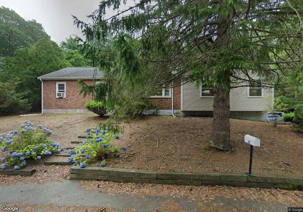
35 Cliff Rd Bourne, MA 02532
Monument Beach NeighborhoodEstimated Value: $555,651 - $592,000
3
Beds
1
Bath
1,488
Sq Ft
$389/Sq Ft
Est. Value
About This Home
This home is located at 35 Cliff Rd, Bourne, MA 02532 and is currently estimated at $579,413, approximately $389 per square foot. 35 Cliff Rd is a home located in Barnstable County with nearby schools including Bourne High School, Cadence Academy Preschool - Bourne, and St Margaret Regional School.
Ownership History
Date
Name
Owned For
Owner Type
Purchase Details
Closed on
Aug 21, 2024
Sold by
Koleshis Richard A
Bought by
Koleshis Ft and Koleshis
Current Estimated Value
Create a Home Valuation Report for This Property
The Home Valuation Report is an in-depth analysis detailing your home's value as well as a comparison with similar homes in the area
Home Values in the Area
Average Home Value in this Area
Purchase History
| Date | Buyer | Sale Price | Title Company |
|---|---|---|---|
| Koleshis Ft | -- | None Available | |
| Koleshis Ft | -- | None Available | |
| Koleshis Ft | -- | None Available |
Source: Public Records
Tax History
| Year | Tax Paid | Tax Assessment Tax Assessment Total Assessment is a certain percentage of the fair market value that is determined by local assessors to be the total taxable value of land and additions on the property. | Land | Improvement |
|---|---|---|---|---|
| 2025 | $4,007 | $513,000 | $203,700 | $309,300 |
| 2024 | $3,918 | $488,500 | $194,000 | $294,500 |
| 2023 | $3,835 | $435,300 | $171,700 | $263,600 |
| 2022 | $3,643 | $361,100 | $151,900 | $209,200 |
| 2021 | $3,541 | $328,800 | $138,300 | $190,500 |
| 2020 | $3,307 | $307,900 | $137,000 | $170,900 |
| 2019 | $3,135 | $298,300 | $137,000 | $161,300 |
| 2018 | $2,909 | $276,000 | $130,500 | $145,500 |
| 2017 | $2,636 | $255,900 | $122,800 | $133,100 |
| 2016 | $2,569 | $252,900 | $122,800 | $130,100 |
| 2015 | $2,416 | $239,900 | $109,800 | $130,100 |
Source: Public Records
Map
Nearby Homes
- 566 Shore Rd
- 203 County Rd
- 16 Amberwood Ct
- 4 Harbor Hill Dr
- 20 Colony Ave
- 12 Turnberry Rd Unit 12
- 13 Laurel Hill Ct
- 5 Sea Knoll Ct
- 4 Hollyhock Knoll Ct Unit 4
- 4 Hollyhock Knoll Ct Unit 4
- 5 Zoli Ln
- 35 Benedict Rd
- 14 Navajo Rd
- 709 County Rd
- 3 1st St
- 254 Barlows Landing Rd
- 44 Cotuit Rd
- 3 4th Ave
- 7 4th Ave
- 16 Michael Rd
Your Personal Tour Guide
Ask me questions while you tour the home.