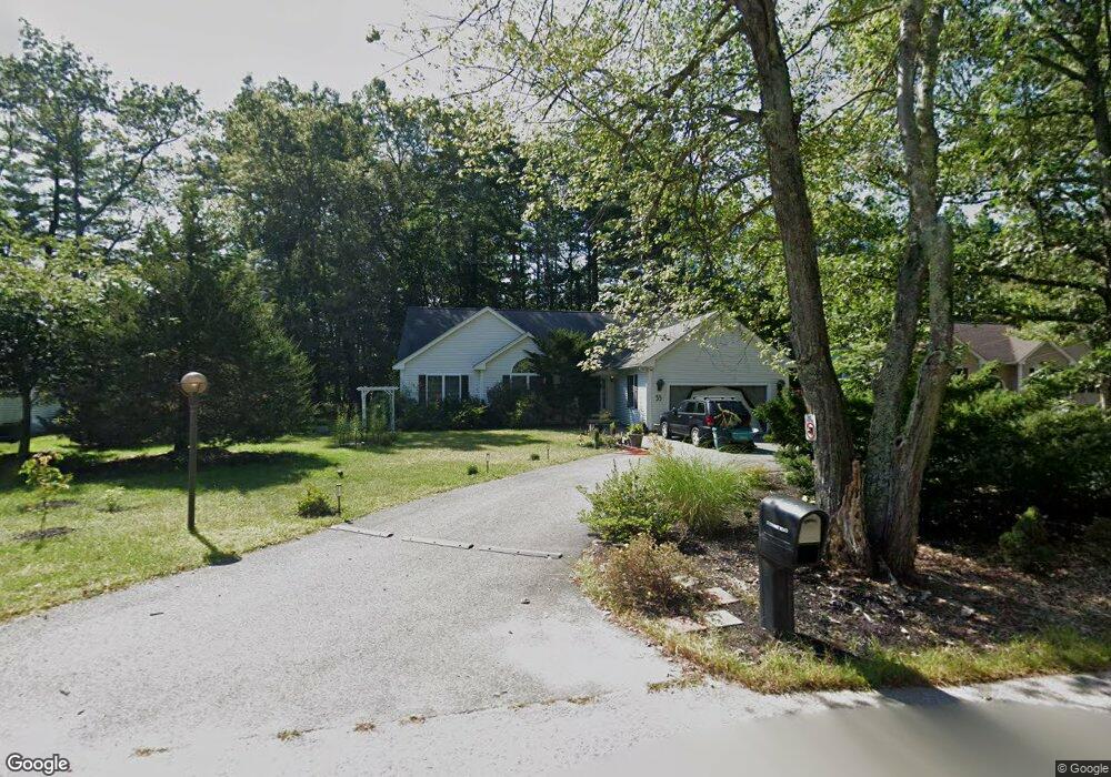
35 Conant Rd Nashua, NH 03062
Southwest Nashua NeighborhoodEstimated Value: $592,000 - $701,000
2
Beds
2
Baths
2,111
Sq Ft
$313/Sq Ft
Est. Value
About This Home
This home is located at 35 Conant Rd, Nashua, NH 03062 and is currently estimated at $661,078, approximately $313 per square foot. 35 Conant Rd is a home located in Hillsborough County with nearby schools including Main Dunstable School, Elm Street Middle School, and Nashua High School South.
Ownership History
Date
Name
Owned For
Owner Type
Purchase Details
Closed on
Aug 29, 2003
Sold by
Portfolio Construction
Bought by
Robert Michael C
Current Estimated Value
Create a Home Valuation Report for This Property
The Home Valuation Report is an in-depth analysis detailing your home's value as well as a comparison with similar homes in the area
Home Values in the Area
Average Home Value in this Area
Purchase History
| Date | Buyer | Sale Price | Title Company |
|---|---|---|---|
| Robert Michael C | $297,800 | -- |
Source: Public Records
Mortgage History
| Date | Status | Borrower | Loan Amount |
|---|---|---|---|
| Open | Robert Michael C | $150,000 | |
| Closed | Robert Michael C | $100,000 |
Source: Public Records
Tax History Compared to Growth
Tax History
| Year | Tax Paid | Tax Assessment Tax Assessment Total Assessment is a certain percentage of the fair market value that is determined by local assessors to be the total taxable value of land and additions on the property. | Land | Improvement |
|---|---|---|---|---|
| 2024 | $10,308 | $648,300 | $172,200 | $476,100 |
| 2023 | $9,974 | $547,100 | $137,800 | $409,300 |
| 2022 | $9,886 | $547,100 | $137,800 | $409,300 |
| 2021 | $8,659 | $372,900 | $91,800 | $281,100 |
| 2020 | $8,431 | $372,900 | $91,800 | $281,100 |
| 2019 | $8,114 | $372,900 | $91,800 | $281,100 |
| 2018 | $7,909 | $372,900 | $91,800 | $281,100 |
| 2017 | $9,393 | $364,200 | $72,700 | $291,500 |
| 2016 | $9,130 | $364,200 | $72,700 | $291,500 |
| 2015 | $8,934 | $364,200 | $72,700 | $291,500 |
| 2014 | $8,759 | $364,200 | $72,700 | $291,500 |
Source: Public Records
Map
Nearby Homes
- 24 Yarmouth Dr
- 25 Cortez Dr Unit U57
- 2 Rene Dr
- 7 Roderick Cir
- 4 Henry David Dr Unit 203
- 424 Main Dunstable Rd
- 5 Wilderness Dr
- 47 Dogwood Dr Unit U202
- 5 Iris Ct Unit U147
- 23 Glen Dr
- 22 Newburgh Rd
- 28 Nottingham Dr
- 42 Woodfield St
- 8 Althea Ln Unit U26
- 12 Spring Cove Rd Unit U103
- 37 White Plains Dr
- 31 Spring Cove Rd Unit U148
- 40 Spring Cove Rd Unit U117
- 33 Cannon Dr
- 29 Greenwood Dr
- 37 Conant Rd
- 33 Conant Rd
- 26 Cherokee Ave
- 3 Shawnee Dr
- 31 Conant Rd
- 100 Saranac Dr
- 39 Conant Rd
- 57 Burgundy Dr Unit U52
- 59 Burgundy Dr Unit U51
- 55 Burgundy Dr Unit U53
- 22 Cherokee Ave
- 53 Burgundy Dr Unit U54
- 102 Saranac Dr
- 29 Conant Rd
- 20 Cherokee Ave
- 30 Conant Rd
- 56 Burgundy Dr Unit U72
- 9 Chung St
- 10 Chung St
- 54 Burgundy Dr Unit U71