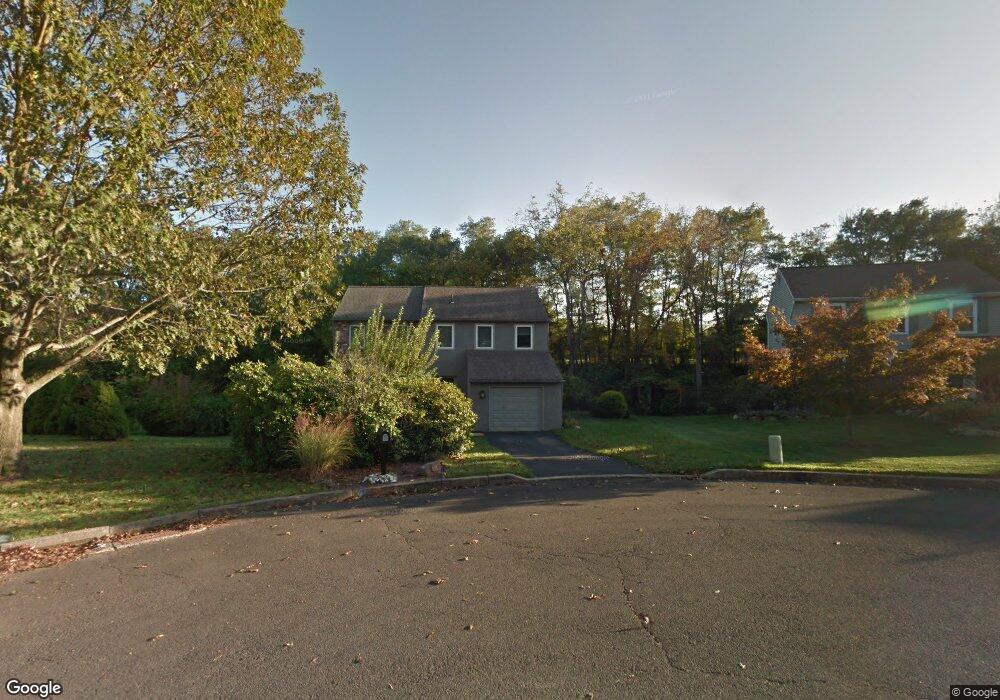
35 Cricket Dr Southampton, PA 18966
Estimated Value: $688,072 - $723,000
4
Beds
3
Baths
2,270
Sq Ft
$308/Sq Ft
Est. Value
About This Home
This home is located at 35 Cricket Dr, Southampton, PA 18966 and is currently estimated at $699,768, approximately $308 per square foot. 35 Cricket Dr is a home located in Bucks County with nearby schools including Rolling Hills Elementary School, Richboro Middle School, and Council Rock High School - South.
Ownership History
Date
Name
Owned For
Owner Type
Purchase Details
Closed on
Oct 11, 2001
Sold by
Rose Nedah M
Bought by
Yong Mark C and Tan Joanna M
Current Estimated Value
Home Financials for this Owner
Home Financials are based on the most recent Mortgage that was taken out on this home.
Original Mortgage
$229,500
Outstanding Balance
$93,828
Interest Rate
7.5%
Estimated Equity
$605,940
Purchase Details
Closed on
Apr 19, 1999
Sold by
Sturges James H and Sturges Arlene K
Bought by
Rose Nedah M
Home Financials for this Owner
Home Financials are based on the most recent Mortgage that was taken out on this home.
Original Mortgage
$152,000
Interest Rate
6.95%
Create a Home Valuation Report for This Property
The Home Valuation Report is an in-depth analysis detailing your home's value as well as a comparison with similar homes in the area
Home Values in the Area
Average Home Value in this Area
Purchase History
| Date | Buyer | Sale Price | Title Company |
|---|---|---|---|
| Yong Mark C | $255,000 | -- | |
| Rose Nedah M | $190,000 | -- |
Source: Public Records
Mortgage History
| Date | Status | Borrower | Loan Amount |
|---|---|---|---|
| Open | Yong Mark C | $229,500 | |
| Previous Owner | Rose Nedah M | $152,000 | |
| Closed | Rose Nedah M | $19,000 |
Source: Public Records
Tax History Compared to Growth
Tax History
| Year | Tax Paid | Tax Assessment Tax Assessment Total Assessment is a certain percentage of the fair market value that is determined by local assessors to be the total taxable value of land and additions on the property. | Land | Improvement |
|---|---|---|---|---|
| 2025 | $7,057 | $36,640 | $9,080 | $27,560 |
| 2024 | $7,057 | $36,640 | $9,080 | $27,560 |
| 2023 | $6,651 | $36,640 | $9,080 | $27,560 |
| 2022 | $6,590 | $36,640 | $9,080 | $27,560 |
| 2021 | $6,382 | $36,640 | $9,080 | $27,560 |
| 2020 | $6,238 | $36,640 | $9,080 | $27,560 |
| 2019 | $5,971 | $36,640 | $9,080 | $27,560 |
| 2018 | $5,865 | $36,640 | $9,080 | $27,560 |
| 2017 | $5,639 | $36,640 | $9,080 | $27,560 |
| 2016 | -- | $36,640 | $9,080 | $27,560 |
| 2015 | -- | $36,640 | $9,080 | $27,560 |
| 2014 | -- | $36,640 | $9,080 | $27,560 |
Source: Public Records
Map
Nearby Homes
- 21 Tree Bark Ln
- 180 Independence Dr
- 23 Brianna Rd
- 151 Knox Ct
- 327 Hale Dr Unit 801A
- 102 Keenan Ln
- 501 Potters Ct
- 41019 Coopers Place Unit 9
- 163 Leedom Way Unit 25
- 80 Hershey Ct
- 10014 Beacon Hill Dr Unit 7
- 21 Joanne Rd
- 281 E Village Rd
- 210 E Hanover St
- 104 Cornell Rd
- 28 Peter Dr
- 501 Heritage Place Unit 1
- 31 Hillcroft Way
- 9015 Heritage Dr Unit 8
- 60 Signal Hill Rd