35 Dewey Ln Cotuit, MA 02635
Cotuit NeighborhoodEstimated Value: $1,169,000 - $1,461,000
3
Beds
3
Baths
2,936
Sq Ft
$449/Sq Ft
Est. Value
About This Home
This home is located at 35 Dewey Ln, Cotuit, MA 02635 and is currently estimated at $1,317,645, approximately $448 per square foot. 35 Dewey Ln is a home located in Barnstable County with nearby schools including West Villages Elementary School, Barnstable United Elementary School, and Barnstable Intermediate School.
Ownership History
Date
Name
Owned For
Owner Type
Purchase Details
Closed on
May 2, 2014
Sold by
Weill Norman E and Weill L E
Bought by
Norman E Weill Ret
Current Estimated Value
Purchase Details
Closed on
Sep 5, 1997
Sold by
Fidelity Fincl Inc
Bought by
Weill Norman E
Create a Home Valuation Report for This Property
The Home Valuation Report is an in-depth analysis detailing your home's value as well as a comparison with similar homes in the area
Home Values in the Area
Average Home Value in this Area
Purchase History
| Date | Buyer | Sale Price | Title Company |
|---|---|---|---|
| Norman E Weill Ret | -- | -- | |
| Weill Norman E | $100,000 | -- |
Source: Public Records
Mortgage History
| Date | Status | Borrower | Loan Amount |
|---|---|---|---|
| Previous Owner | Weill Norman E | $172,500 |
Source: Public Records
Tax History
| Year | Tax Paid | Tax Assessment Tax Assessment Total Assessment is a certain percentage of the fair market value that is determined by local assessors to be the total taxable value of land and additions on the property. | Land | Improvement |
|---|---|---|---|---|
| 2025 | $10,414 | $1,247,200 | $427,200 | $820,000 |
| 2024 | $9,472 | $1,202,000 | $427,200 | $774,800 |
| 2023 | $9,100 | $1,087,200 | $400,800 | $686,400 |
| 2022 | $8,975 | $868,000 | $286,800 | $581,200 |
| 2021 | $8,987 | $814,000 | $314,100 | $499,900 |
| 2020 | $1,643 | $781,200 | $307,500 | $473,700 |
| 2019 | $0 | $741,000 | $320,900 | $420,100 |
| 2018 | $8,184 | $688,900 | $323,700 | $365,200 |
| 2017 | $7,920 | $671,200 | $323,700 | $347,500 |
| 2016 | $7,726 | $671,200 | $323,700 | $347,500 |
| 2015 | $7,641 | $663,300 | $315,000 | $348,300 |
Source: Public Records
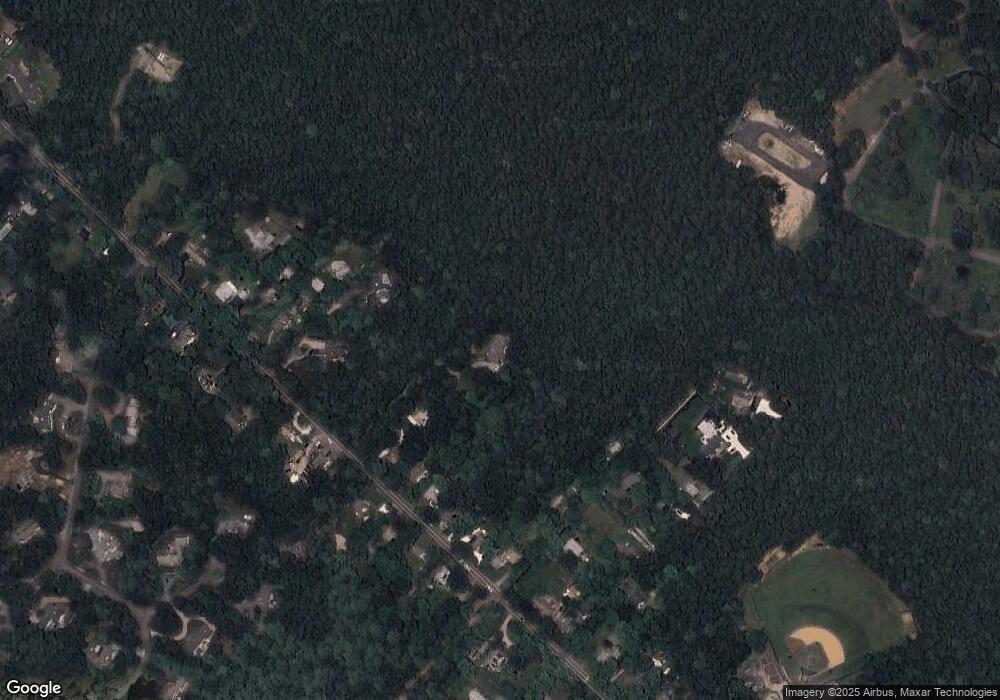
Map
Nearby Homes
- 552 Main St
- 7 Oxford Dr
- 135 Putnam Avenue (Land)
- 804 Main St
- 10 Abbey Gate Rd
- 239 Oxford Dr
- 1820 Santuit Newtown Rd
- 80 Mariner Cir
- 181 School St
- 925 Main St Unit 3
- 602 Putnam Ave
- 33 Oyster Place Rd
- 15 Riverview Ave Unit D
- 15 Riverview Ave Unit D
- 226 Dunrobin Rd
- 1597 Santuit-Newtown Rd
- 70 Cape Dr Unit 14D
- 70 Cape Dr Unit 15D
- 70 Cape Dr Unit 15D
- 16 Cedar St
Your Personal Tour Guide
Ask me questions while you tour the home.