35 Drake Rd New Hampton, NH 03256
Estimated Value: $404,000 - $443,000
3
Beds
2
Baths
1,512
Sq Ft
$276/Sq Ft
Est. Value
About This Home
This home is located at 35 Drake Rd, New Hampton, NH 03256 and is currently estimated at $416,661, approximately $275 per square foot. 35 Drake Rd is a home located in Belknap County with nearby schools including New Hampton Community School, Lakeland School, and A Lakes Region Montessori.
Ownership History
Date
Name
Owned For
Owner Type
Purchase Details
Closed on
Apr 20, 2022
Sold by
Carter Mark A
Bought by
Carter Mark A and Carter Julie A
Current Estimated Value
Home Financials for this Owner
Home Financials are based on the most recent Mortgage that was taken out on this home.
Original Mortgage
$143,900
Outstanding Balance
$135,751
Interest Rate
4.67%
Mortgage Type
Stand Alone Refi Refinance Of Original Loan
Estimated Equity
$280,910
Purchase Details
Closed on
Oct 29, 2001
Sold by
Evans Karen M
Bought by
Carter Mark A
Home Financials for this Owner
Home Financials are based on the most recent Mortgage that was taken out on this home.
Original Mortgage
$112,005
Interest Rate
6.86%
Create a Home Valuation Report for This Property
The Home Valuation Report is an in-depth analysis detailing your home's value as well as a comparison with similar homes in the area
Home Values in the Area
Average Home Value in this Area
Purchase History
| Date | Buyer | Sale Price | Title Company |
|---|---|---|---|
| Carter Mark A | -- | None Available | |
| Carter Mark A | -- | None Available | |
| Carter Mark A | $117,900 | -- |
Source: Public Records
Mortgage History
| Date | Status | Borrower | Loan Amount |
|---|---|---|---|
| Open | Carter Mark A | $143,900 | |
| Previous Owner | Carter Mark A | $30,000 | |
| Previous Owner | Carter Mark A | $112,005 |
Source: Public Records
Tax History Compared to Growth
Tax History
| Year | Tax Paid | Tax Assessment Tax Assessment Total Assessment is a certain percentage of the fair market value that is determined by local assessors to be the total taxable value of land and additions on the property. | Land | Improvement |
|---|---|---|---|---|
| 2024 | $4,168 | $314,590 | $146,800 | $167,790 |
| 2023 | $3,841 | $314,590 | $146,800 | $167,790 |
| 2022 | $3,293 | $169,830 | $61,000 | $108,830 |
| 2021 | $3,183 | $169,830 | $61,000 | $108,830 |
| 2020 | $3,048 | $169,830 | $61,000 | $108,830 |
| 2019 | $3,268 | $169,830 | $61,000 | $108,830 |
| 2015 | $2,859 | $157,150 | $50,150 | $107,000 |
Source: Public Records
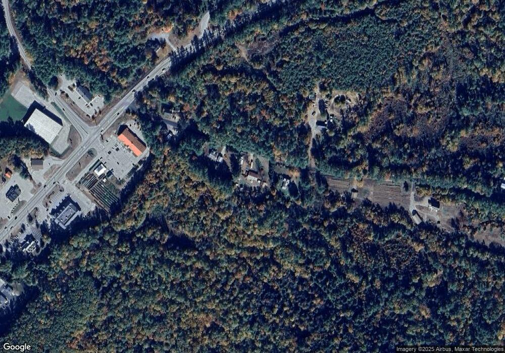
Map
Nearby Homes
- 6 Mansfield Woods Way
- 14 Mansfield Woods Way
- 63 Mansfield Woods Way
- 54 Mansfield Woods Way
- 112 Town House Rd
- 12 Wolfe Den Dr
- 571 New Hampshire 104
- 216 Jenness Hill Rd
- Lot 20 Smoke Rise Rd
- 42 Smoke Rise Rd
- 23 Old Bristol Rd
- R3 Lot 30 Gordon Hill Rd
- Lot 7 Lindsay Ln
- Lot 5 Lindsay Ln
- 35 Pinnacle Ridge Rd
- 41 Baldwin Ave
- 82 Edgerly School Rd
- 80 Pinnacle Ridge Rd
- 33 Sherene Orchard Rd
- 31 Sherene Orchard Rd
- 45 Drake Rd
- 29 Drake Rd
- 38 Drake Rd
- 48 Drake Rd
- 13 Drake Rd
- 61 Drake Rd
- 16 Drake Rd
- 61 Drake Road & Sinclair Hill Rd Lots83-84
- 2C New Hampshire 132
- Lot R20-67 New Hampshire 132
- 2A New Hampshire 132
- 174 Huckleberry
- lot 79 & 79a Nh Route 104 Unit 79 & 79a
- 368 Nh Route 104
- 368 New Hampshire 104
- 00 Nh Route 132 N
- 0 Nh Route 132 N
- 0 Nh Route 132 N Unit 4790532
- Lot 2B Rte 132
- Lot 2A Rte 132