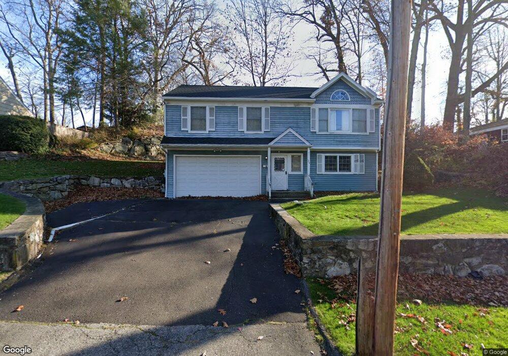
35 Frances Ave Norwalk, CT 06854
Brookside NeighborhoodEstimated Value: $645,000 - $775,000
4
Beds
2
Baths
1,200
Sq Ft
$585/Sq Ft
Est. Value
About This Home
This home is located at 35 Frances Ave, Norwalk, CT 06854 and is currently estimated at $701,846, approximately $584 per square foot. 35 Frances Ave is a home located in Fairfield County with nearby schools including Brookside Elementary School, Roton Middle School, and Brien Mcmahon High School.
Ownership History
Date
Name
Owned For
Owner Type
Purchase Details
Closed on
Mar 1, 2000
Sold by
Pearson John E and Pearson Lesley D
Bought by
Nadesan Revindran and Nadesan Sureindran
Current Estimated Value
Purchase Details
Closed on
Jul 19, 1996
Sold by
Mccue Theresa M
Bought by
Pearson John and Pearson Lesley
Create a Home Valuation Report for This Property
The Home Valuation Report is an in-depth analysis detailing your home's value as well as a comparison with similar homes in the area
Home Values in the Area
Average Home Value in this Area
Purchase History
| Date | Buyer | Sale Price | Title Company |
|---|---|---|---|
| Nadesan Revindran | $315,000 | -- | |
| Nadesan Revindran | $315,000 | -- | |
| Pearson John | $230,000 | -- | |
| Pearson John | $230,000 | -- |
Source: Public Records
Mortgage History
| Date | Status | Borrower | Loan Amount |
|---|---|---|---|
| Open | Pearson John | $168,063 | |
| Open | Pearson John | $392,755 |
Source: Public Records
Tax History
| Year | Tax Paid | Tax Assessment Tax Assessment Total Assessment is a certain percentage of the fair market value that is determined by local assessors to be the total taxable value of land and additions on the property. | Land | Improvement |
|---|---|---|---|---|
| 2025 | $9,763 | $407,700 | $180,070 | $227,630 |
| 2024 | $9,618 | $407,700 | $180,070 | $227,630 |
| 2023 | $7,394 | $293,880 | $137,550 | $156,330 |
| 2022 | $7,256 | $293,880 | $137,550 | $156,330 |
| 2021 | $7,068 | $293,880 | $137,550 | $156,330 |
| 2020 | $7,064 | $293,880 | $137,550 | $156,330 |
| 2019 | $6,866 | $293,880 | $137,550 | $156,330 |
| 2018 | $7,277 | $272,920 | $142,800 | $130,120 |
| 2017 | $7,027 | $272,920 | $142,800 | $130,120 |
| 2016 | $7,007 | $274,790 | $142,800 | $131,990 |
| 2015 | $6,940 | $272,920 | $142,800 | $130,120 |
| 2014 | $6,850 | $272,920 | $142,800 | $130,120 |
Source: Public Records
Map
Nearby Homes
- 5 Mcallister Ave
- 10 Keith St
- 6 W Couch St
- 6 Norton Place
- 24 Scribner Ave
- 47 Taylor Ave
- 4 Senga Rd
- 8 Crown Ave
- 225 Flax Hill Rd Unit 2
- 187 Flax Hill Rd Unit D5
- 12 Arbor Ct
- 2 Rochelle Rd
- 8 Michael St
- 115 Flax Hill Rd Unit 10
- 18 Oakhill Ave
- 15 Madison St Unit B7
- 22 Doctor Martin Luther King Junior Dr Unit B1
- 14 Ferris Ave Unit 9
- 28 Chestnut St
- 18 Auburn St
- 32 Frances Ave
- 37 Frances Ave
- 31 Frances Ave
- 34 Frances Ave
- 36 Frances Ave
- 39 Frances Ave
- 30 Frances Ave
- 29 Frances Ave
- 27 Frances Ave
- 6 Hollow Tree Ct
- 28 Frances Ave
- 16 Mcallister Ave
- 20 Mcallister Ave
- 41 Frances Ave
- 1 Hollow Tree Ct
- 26 Frances Ave
- 32 Woodlawn Ave
- 34 Woodlawn Ave
- 22 Mcallister Ave
- 30 Woodlawn Ave
Your Personal Tour Guide
Ask me questions while you tour the home.