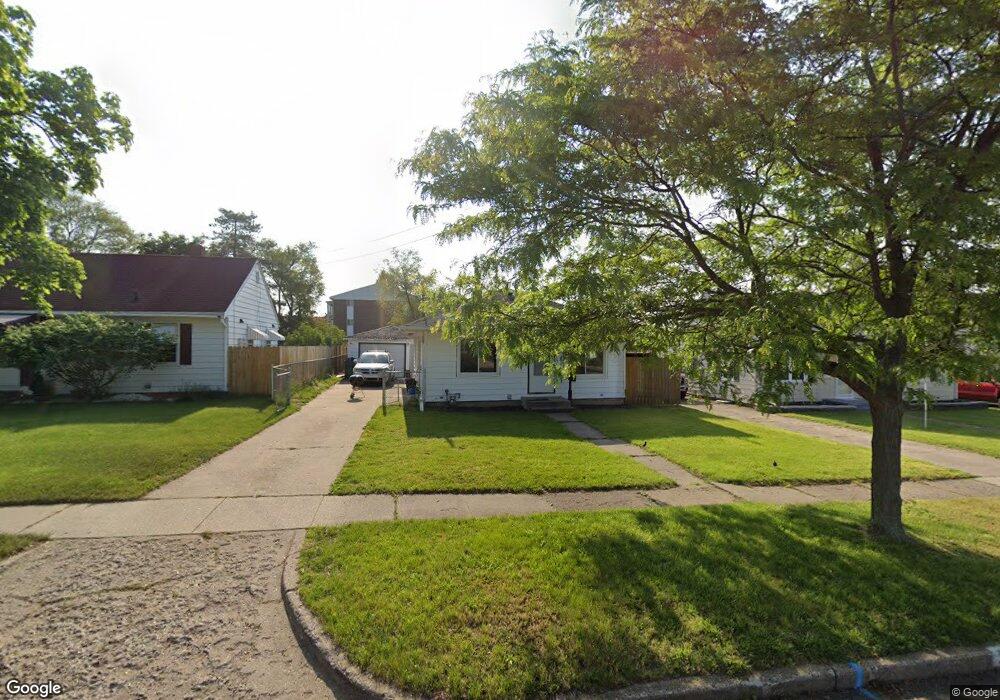
35 Hannah St Battle Creek, MI 49014
Post Franklin NeighborhoodEstimated Value: $87,000 - $116,000
3
Beds
1
Bath
864
Sq Ft
$121/Sq Ft
Est. Value
About This Home
This home is located at 35 Hannah St, Battle Creek, MI 49014 and is currently estimated at $104,470, approximately $120 per square foot. 35 Hannah St is a home located in Calhoun County with nearby schools including Verona Elementary School, Springfield Middle School, and Battle Creek Central High School.
Ownership History
Date
Name
Owned For
Owner Type
Purchase Details
Closed on
May 31, 2024
Sold by
Munoz Matthew Joseph
Bought by
Mendez Neidamee
Current Estimated Value
Home Financials for this Owner
Home Financials are based on the most recent Mortgage that was taken out on this home.
Original Mortgage
$83,600
Outstanding Balance
$82,563
Interest Rate
7.17%
Mortgage Type
New Conventional
Estimated Equity
$21,907
Purchase Details
Closed on
Mar 8, 2016
Sold by
Wells Christina Ann
Bought by
Munoz Matthew Joseph
Create a Home Valuation Report for This Property
The Home Valuation Report is an in-depth analysis detailing your home's value as well as a comparison with similar homes in the area
Home Values in the Area
Average Home Value in this Area
Purchase History
| Date | Buyer | Sale Price | Title Company |
|---|---|---|---|
| Mendez Neidamee | $88,000 | None Listed On Document | |
| Mendez Neidamee | $88,000 | None Listed On Document | |
| Munoz Matthew Joseph | -- | None Available |
Source: Public Records
Mortgage History
| Date | Status | Borrower | Loan Amount |
|---|---|---|---|
| Open | Mendez Neidamee | $83,600 | |
| Closed | Mendez Neidamee | $83,600 |
Source: Public Records
Tax History Compared to Growth
Tax History
| Year | Tax Paid | Tax Assessment Tax Assessment Total Assessment is a certain percentage of the fair market value that is determined by local assessors to be the total taxable value of land and additions on the property. | Land | Improvement |
|---|---|---|---|---|
| 2025 | -- | $46,000 | $0 | $0 |
| 2024 | $679 | $43,558 | $0 | $0 |
| 2023 | $851 | $40,963 | $0 | $0 |
| 2022 | $613 | $31,298 | $0 | $0 |
| 2021 | $732 | $29,385 | $0 | $0 |
| 2020 | $832 | $29,406 | $0 | $0 |
| 2019 | $1,016 | $15,174 | $0 | $0 |
| 2018 | $1,016 | $14,974 | $917 | $14,057 |
| 2017 | $1,063 | $17,604 | $0 | $0 |
| 2016 | $1,036 | $16,099 | $0 | $0 |
| 2015 | $741 | $17,841 | $2,620 | $15,221 |
| 2014 | $741 | $16,091 | $2,620 | $13,471 |
Source: Public Records
Map
Nearby Homes
- 131 Academy St
- 23 Bradford St
- 79 Clark St
- 222 Lathrop Ave
- 116 Inn Rd
- 138 Rook St
- 118 Nelson St
- 232 Cliff St
- 174 Lathrop Ave
- 155 Post Ave
- 0 Rook St Unit 25019652
- 180 Grenville St
- 507 Michigan Ave E
- 501 Michigan Ave E
- 250 Silver St
- 100 Illinois St
- 130 Cliff St
- 225 Illinois St
- 136 Jericho Rd
- 390 E Michigan Ave