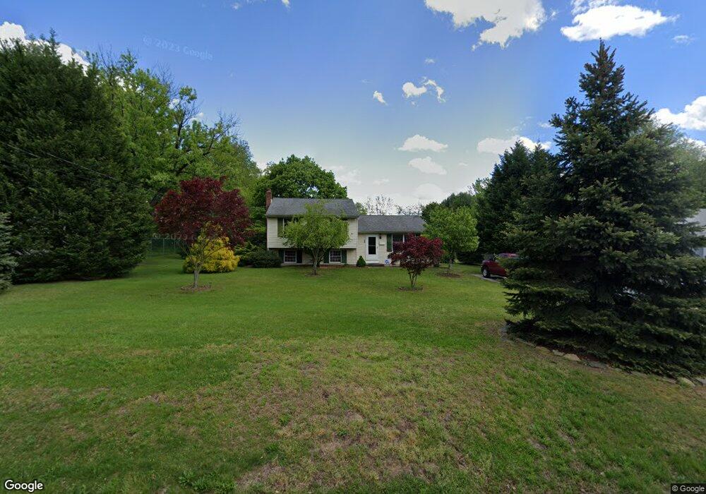
35 High St Mantua, NJ 08051
Mantua Township NeighborhoodEstimated Value: $262,000 - $357,000
--
Bed
--
Bath
1,404
Sq Ft
$216/Sq Ft
Est. Value
About This Home
This home is located at 35 High St, Mantua, NJ 08051 and is currently estimated at $302,827, approximately $215 per square foot. 35 High St is a home located in Gloucester County with nearby schools including Centre City School, Clearview Regional Middle School, and Clearview Regional High School.
Ownership History
Date
Name
Owned For
Owner Type
Purchase Details
Closed on
Dec 7, 2005
Sold by
Spositi Lester A and Spositi Julie L
Bought by
Spositi Lester A and Spositi Julie L
Current Estimated Value
Purchase Details
Closed on
Aug 7, 1995
Sold by
Hood Linda L and Spositi Linda L
Bought by
Spositi Lester A and Spositi Julie L
Create a Home Valuation Report for This Property
The Home Valuation Report is an in-depth analysis detailing your home's value as well as a comparison with similar homes in the area
Home Values in the Area
Average Home Value in this Area
Purchase History
| Date | Buyer | Sale Price | Title Company |
|---|---|---|---|
| Spositi Lester A | -- | -- | |
| Spositi Lester A | -- | -- |
Source: Public Records
Tax History Compared to Growth
Tax History
| Year | Tax Paid | Tax Assessment Tax Assessment Total Assessment is a certain percentage of the fair market value that is determined by local assessors to be the total taxable value of land and additions on the property. | Land | Improvement |
|---|---|---|---|---|
| 2025 | $6,607 | $256,600 | $87,300 | $169,300 |
| 2024 | $6,538 | $256,600 | $87,300 | $169,300 |
| 2023 | $6,538 | $256,600 | $87,300 | $169,300 |
| 2022 | $6,359 | $181,800 | $67,300 | $114,500 |
| 2021 | $5,923 | $181,800 | $67,300 | $114,500 |
| 2020 | $6,356 | $181,800 | $67,300 | $114,500 |
| 2019 | $6,248 | $181,800 | $67,300 | $114,500 |
| 2018 | $6,159 | $181,800 | $67,300 | $114,500 |
| 2017 | $6,067 | $181,800 | $67,300 | $114,500 |
| 2016 | $5,998 | $181,800 | $67,300 | $114,500 |
| 2015 | $5,850 | $181,800 | $67,300 | $114,500 |
| 2014 | $5,654 | $181,800 | $67,300 | $114,500 |
Source: Public Records
Map
Nearby Homes
- 8 Barry Dr
- 1215 Tristram Cir
- 1134 Tristram Cir Unit 4
- 1121 Tristram Cir Unit 1
- 1145 Tristram Cir
- 1147 Tristram Cir Unit 1147
- 325 Bridgeton Pike
- 1433 Tristram Cir
- 111 Cove Rd
- 748 Dartmouth Dr
- 125 Ivy Ln
- 119 Monroe Ave
- 75 Hickory Ave
- 261 Tony Cir
- 204 W Landing Rd
- 19 Marathon Dr
- 205 Redbud Ln Unit 205
- 485 Harrison Ave
- 505 W Mantua Ave
- 433 Berkley Rd