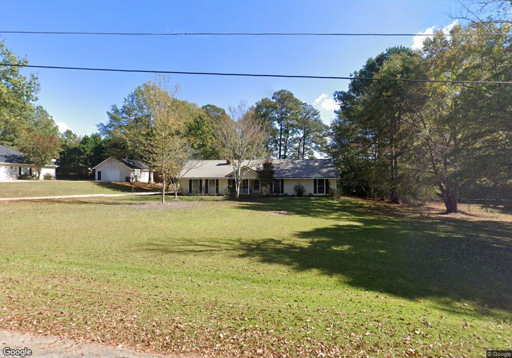
35 Horace Carter Rd Lagrange, GA 30240
Estimated Value: $196,000 - $212,768
3
Beds
2
Baths
1,582
Sq Ft
$130/Sq Ft
Est. Value
About This Home
This home is located at 35 Horace Carter Rd, Lagrange, GA 30240 and is currently estimated at $205,442, approximately $129 per square foot. 35 Horace Carter Rd is a home located in Troup County with nearby schools including Berta Weathersbee Elementary School, Long Cane Elementary School, and Whitesville Road Elementary School.
Ownership History
Date
Name
Owned For
Owner Type
Purchase Details
Closed on
Feb 25, 1991
Sold by
Louella L Carter
Bought by
Partridge Douglas E
Current Estimated Value
Purchase Details
Closed on
Feb 19, 1991
Sold by
Horace L Carter
Bought by
Louella L Carter
Purchase Details
Closed on
May 30, 1967
Sold by
Meadors Darden H and Meadors Jason L
Bought by
Horace L Carter
Create a Home Valuation Report for This Property
The Home Valuation Report is an in-depth analysis detailing your home's value as well as a comparison with similar homes in the area
Home Values in the Area
Average Home Value in this Area
Purchase History
| Date | Buyer | Sale Price | Title Company |
|---|---|---|---|
| Partridge Douglas E | -- | -- | |
| Louella L Carter | $4,500 | -- | |
| Horace L Carter | -- | -- |
Source: Public Records
Tax History Compared to Growth
Tax History
| Year | Tax Paid | Tax Assessment Tax Assessment Total Assessment is a certain percentage of the fair market value that is determined by local assessors to be the total taxable value of land and additions on the property. | Land | Improvement |
|---|---|---|---|---|
| 2024 | $1,627 | $61,640 | $10,000 | $51,640 |
| 2023 | $1,103 | $60,320 | $8,000 | $52,320 |
| 2022 | $1,559 | $57,840 | $8,000 | $49,840 |
| 2021 | $1,500 | $51,720 | $8,000 | $43,720 |
| 2020 | $1,500 | $51,720 | $8,000 | $43,720 |
| 2019 | $1,274 | $44,240 | $3,320 | $40,920 |
| 2018 | $1,162 | $40,516 | $3,276 | $37,240 |
| 2017 | $1,162 | $40,516 | $3,276 | $37,240 |
| 2016 | $1,146 | $39,979 | $3,276 | $36,703 |
| 2015 | $1,146 | $39,979 | $3,276 | $36,703 |
| 2014 | $1,088 | $38,048 | $3,276 | $34,772 |
| 2013 | -- | $39,858 | $3,276 | $36,582 |
Source: Public Records
Map
Nearby Homes
- 0 Bradfield Dr Unit 10568803
- 37 Overbrook Dr
- 509 Connie Dr
- 141 Avery Dr
- 190 Hill Rd
- 31 Reed Dr
- 135 AC Hanson Dr
- 146 Whitaker Rd
- 110 Hawthorne Cir
- 0 Unit 10514554
- 102 Hawthorne Cir
- 3010 Old West Point Rd
- 223 Pinehaven Dr
- 117 Brookwood Dr
- 100 Huntcliff Ct
- 167 S Kight Dr
- 116 Highland Pointe Dr
- 456 Whitaker Rd
- 101 Planters Ridge Dr Unit LOT 13
- 333 Woodfield Cir
- 53 Horace Carter Rd
- 0 Horace Carter Rd Unit 7476500
- 25 Horace Carter Rd
- 200 Overbrook Dr
- 216 Overbrook Dr
- 9 Horace Carter Rd
- 36 Horace Carter Rd
- 184 Overbrook Dr
- 236 Overbrook Dr
- 22 Horace Carter Rd
- 8 Horace Carter Rd
- 199 Overbrook Dr
- 209 Overbrook Dr
- 185 Overbrook Dr
- 155 Overbrook Dr
- 75 Horace Carter Rd
- 175 Overbrook Dr
- 29 Morton Dr
- 239 Overbrook Dr
- 12 Morton Dr