35 Marthas Point Rd Concord, MA 01742
Estimated Value: $1,290,657 - $1,835,000
5
Beds
2
Baths
1,966
Sq Ft
$768/Sq Ft
Est. Value
About This Home
This home is located at 35 Marthas Point Rd, Concord, MA 01742 and is currently estimated at $1,510,414, approximately $768 per square foot. 35 Marthas Point Rd is a home located in Middlesex County with nearby schools including Willard School, Concord Middle School, and Concord Carlisle High School.
Ownership History
Date
Name
Owned For
Owner Type
Purchase Details
Closed on
Oct 20, 2017
Sold by
Ackles William P and Ackles Leslie M
Bought by
Marthas Point 35 Rt
Current Estimated Value
Create a Home Valuation Report for This Property
The Home Valuation Report is an in-depth analysis detailing your home's value as well as a comparison with similar homes in the area
Home Values in the Area
Average Home Value in this Area
Purchase History
| Date | Buyer | Sale Price | Title Company |
|---|---|---|---|
| Marthas Point 35 Rt | -- | -- |
Source: Public Records
Tax History
| Year | Tax Paid | Tax Assessment Tax Assessment Total Assessment is a certain percentage of the fair market value that is determined by local assessors to be the total taxable value of land and additions on the property. | Land | Improvement |
|---|---|---|---|---|
| 2025 | $162 | $1,219,700 | $681,300 | $538,400 |
| 2024 | $15,724 | $1,197,600 | $681,300 | $516,300 |
| 2023 | $14,816 | $1,143,200 | $640,700 | $502,500 |
| 2022 | $13,960 | $945,800 | $512,500 | $433,300 |
| 2021 | $12,304 | $835,900 | $438,500 | $397,400 |
| 2020 | $12,238 | $860,000 | $438,500 | $421,500 |
| 2019 | $11,738 | $827,200 | $425,500 | $401,700 |
| 2018 | $11,538 | $807,400 | $426,300 | $381,100 |
| 2017 | $11,450 | $813,800 | $406,200 | $407,600 |
| 2016 | $10,830 | $778,000 | $406,200 | $371,800 |
| 2015 | $10,224 | $715,500 | $376,300 | $339,200 |
Source: Public Records
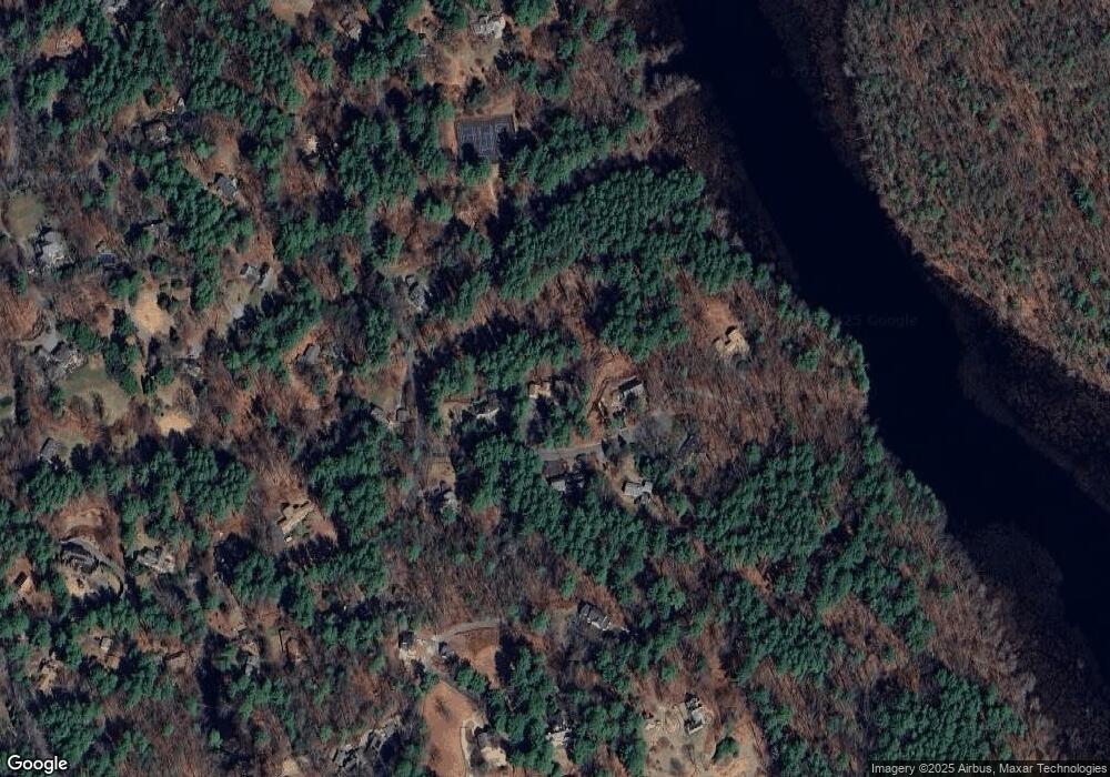
Map
Nearby Homes
- 29 King Ln
- 850 Old Road to 9 Acre Corner
- 25 Fairhaven Rd
- 236 Fairhaven Rd
- 497 Old Road to 9 Acre Corner
- 89 Mattison Dr
- 32 Bolton St
- 367 Powder Mill Rd
- 56 Seymour St
- 141 Chestnut Cir Unit 141
- 40 Rookery Ln Unit 5
- 72 Rookery Ln Unit 3
- 56 Rookery Ln Unit 4
- 117 Cold Brook Dr Unit 7
- 108 Hawks Perch Unit 108
- 132 Williams Rd
- 401 Emery Ln Unit 304
- 16 Hampshire Rd
- 61B Walden St
- 165 Everett St
- 142 The Valley Rd
- 59 Marthas Point Rd
- 152 The Valley Rd
- 40 Marthas Point Rd
- 52 Marthas Point Rd
- 24 Marthas Point Rd
- 66 Marthas Point Rd
- 170 The Valley Rd
- 120 The Valley Rd
- 137 The Valley Rd
- 95 Marthas Point Rd
- 109 The Valley Rd
- 313 Garfield Rd
- 102 The Valley Rd
- 163 The Valley Rd
- 85 The Valley Rd
- 193 The Valley Rd
- 96 The Valley Rd
- 65 The Valley Rd
- 65 The Valley Rd
Your Personal Tour Guide
Ask me questions while you tour the home.