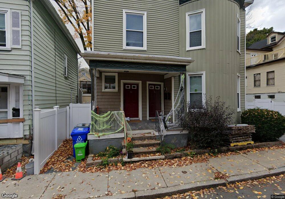
35 Mills St Roxbury, MA 02119
Washington Park NeighborhoodEstimated Value: $861,638 - $1,095,000
6
Beds
2
Baths
3,858
Sq Ft
$248/Sq Ft
Est. Value
About This Home
This home is located at 35 Mills St, Roxbury, MA 02119 and is currently estimated at $958,410, approximately $248 per square foot. 35 Mills St is a home located in Suffolk County with nearby schools including Bridge Boston Charter School and City on a Hill Charter Public School.
Ownership History
Date
Name
Owned For
Owner Type
Purchase Details
Closed on
Sep 14, 2004
Sold by
Hamilton Daisy
Bought by
Hale David L
Current Estimated Value
Home Financials for this Owner
Home Financials are based on the most recent Mortgage that was taken out on this home.
Original Mortgage
$297,000
Outstanding Balance
$149,101
Interest Rate
6.08%
Mortgage Type
Purchase Money Mortgage
Estimated Equity
$809,309
Create a Home Valuation Report for This Property
The Home Valuation Report is an in-depth analysis detailing your home's value as well as a comparison with similar homes in the area
Home Values in the Area
Average Home Value in this Area
Purchase History
| Date | Buyer | Sale Price | Title Company |
|---|---|---|---|
| Hale David L | $330,000 | -- |
Source: Public Records
Mortgage History
| Date | Status | Borrower | Loan Amount |
|---|---|---|---|
| Open | Hale David L | $297,000 |
Source: Public Records
Tax History Compared to Growth
Tax History
| Year | Tax Paid | Tax Assessment Tax Assessment Total Assessment is a certain percentage of the fair market value that is determined by local assessors to be the total taxable value of land and additions on the property. | Land | Improvement |
|---|---|---|---|---|
| 2025 | $8,020 | $692,600 | $213,100 | $479,500 |
| 2024 | $7,490 | $687,200 | $183,900 | $503,300 |
| 2023 | $7,028 | $654,400 | $175,100 | $479,300 |
| 2022 | $6,473 | $594,900 | $159,200 | $435,700 |
| 2021 | $5,933 | $556,000 | $148,800 | $407,200 |
| 2020 | $5,455 | $516,600 | $148,500 | $368,100 |
| 2019 | $5,089 | $482,800 | $110,300 | $372,500 |
| 2018 | $4,730 | $451,300 | $110,300 | $341,000 |
| 2017 | $4,552 | $429,800 | $110,300 | $319,500 |
| 2016 | $4,222 | $383,800 | $110,300 | $273,500 |
| 2015 | $3,368 | $278,100 | $75,300 | $202,800 |
| 2014 | $3,023 | $240,300 | $75,300 | $165,000 |
Source: Public Records
Map
Nearby Homes
- 10 Rockland St Unit 4
- 94 Walnut Ave
- 30 Copeland St Unit 1
- 7 Langford Park Unit 3
- 59 Perrin St
- 59 Perrin St Unit 1
- 33 Copeland Park Unit C
- 22 Rockville Park
- 20 Rockville Park
- 22 Alaska St
- 37 Regent St Unit 2
- 31 Alaska St
- 64 Alpine St Unit 104
- 64 Alpine St Unit 304
- 133 Blue Hill Ave
- 62 Clifford St Unit A
- 119 Blue Hill Ave
- Lot 84 Blue Hill Ave
- 45 Woodville St
- 90 Munroe St
- 3-5 Mills St Unit 3
- 3-5 Mills St Unit 5
- 3-5 Mills St
- 3 Mills St
- 7 Mills St
- 9 Mills St
- 16 Rockland St
- 8 Rockland Ave
- 6 Rockland Ave
- 10 Rockland Ave
- 10 Rockland Ave Unit 2
- 10 Rockland Ave Unit 1
- 4 Mills St
- 2 Mills St
- 6 Mills St
- 11 Mills St
- 14 Rockland St
- 14 Rockland St
- 14 Rockland St Unit 3
- 14 Rockland St Unit 2