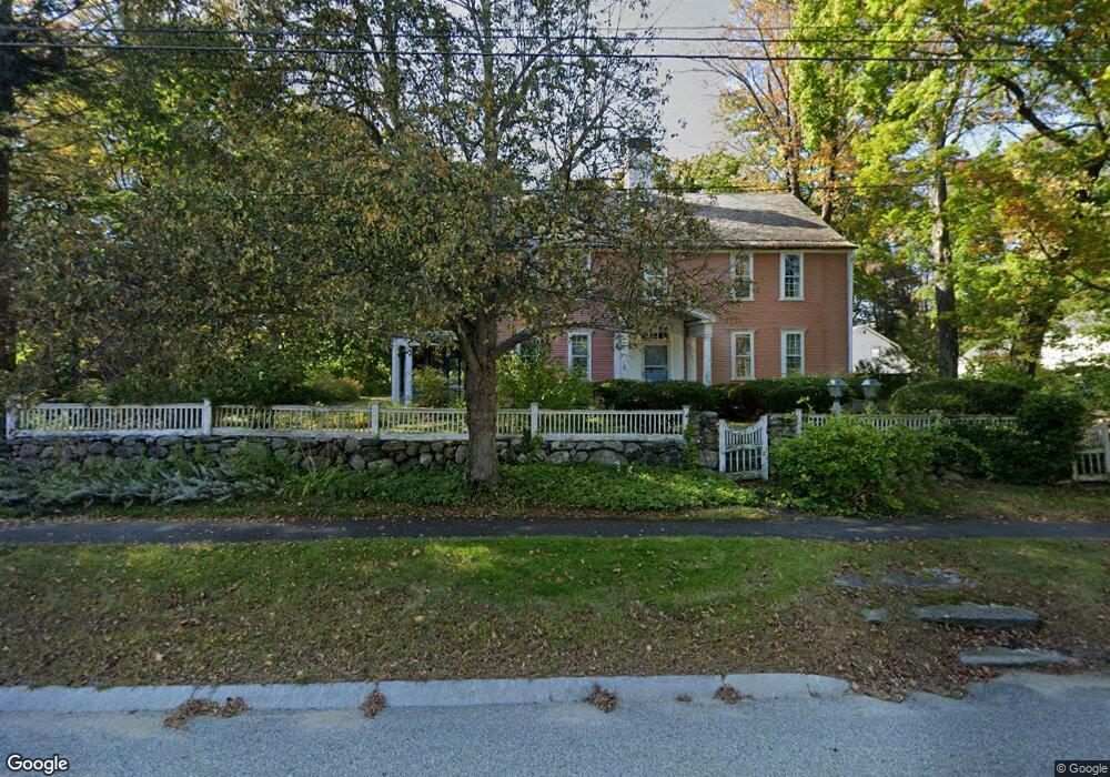
35 N Main St Petersham, MA 01366
Estimated Value: $496,000 - $667,000
6
Beds
4
Baths
4,708
Sq Ft
$126/Sq Ft
Est. Value
About This Home
This home is located at 35 N Main St, Petersham, MA 01366 and is currently estimated at $592,218, approximately $125 per square foot. 35 N Main St is a home located in Worcester County with nearby schools including Petersham Center, Ralph C Mahar Regional, and Petersham Montessori School.
Create a Home Valuation Report for This Property
The Home Valuation Report is an in-depth analysis detailing your home's value as well as a comparison with similar homes in the area
Home Values in the Area
Average Home Value in this Area
Tax History Compared to Growth
Tax History
| Year | Tax Paid | Tax Assessment Tax Assessment Total Assessment is a certain percentage of the fair market value that is determined by local assessors to be the total taxable value of land and additions on the property. | Land | Improvement |
|---|---|---|---|---|
| 2025 | $8,193 | $565,400 | $58,000 | $507,400 |
| 2024 | $6,994 | $489,100 | $58,000 | $431,100 |
| 2023 | $6,081 | $385,100 | $55,200 | $329,900 |
| 2022 | $5,214 | $385,100 | $55,200 | $329,900 |
| 2021 | $5,723 | $373,800 | $50,200 | $323,600 |
| 2020 | $6,048 | $348,200 | $43,500 | $304,700 |
| 2019 | $5,482 | $323,800 | $38,100 | $285,700 |
| 2018 | $5,274 | $322,200 | $36,500 | $285,700 |
| 2017 | $5,210 | $321,800 | $39,300 | $282,500 |
| 2016 | $5,284 | $321,800 | $39,300 | $282,500 |
| 2015 | $5,415 | $318,700 | $39,300 | $279,400 |
| 2014 | $5,077 | $318,700 | $39,300 | $279,400 |
Source: Public Records
Map
Nearby Homes
- 19&21 Common St
- 15 Common St
- 32 West St
- 42 New Salem Rd
- 27 Popple Camp Rd
- 0 Popple Camp Rd Unit 73432026
- 163 Hardwick Rd
- 42 Glasheen Rd
- 204 East St
- 11-L New Athol Rd
- 12-L New Athol Rd
- 7-L New Athol Rd
- 47 Harty Dr
- 0 Nichewaug Rd
- 1327 Riceville Rd
- Back Lot 0 Petersham Rd
- 32 Edward Ln
- 31 Edward Ln
- 37 Gauthier Rd
- 20 Dana Rd