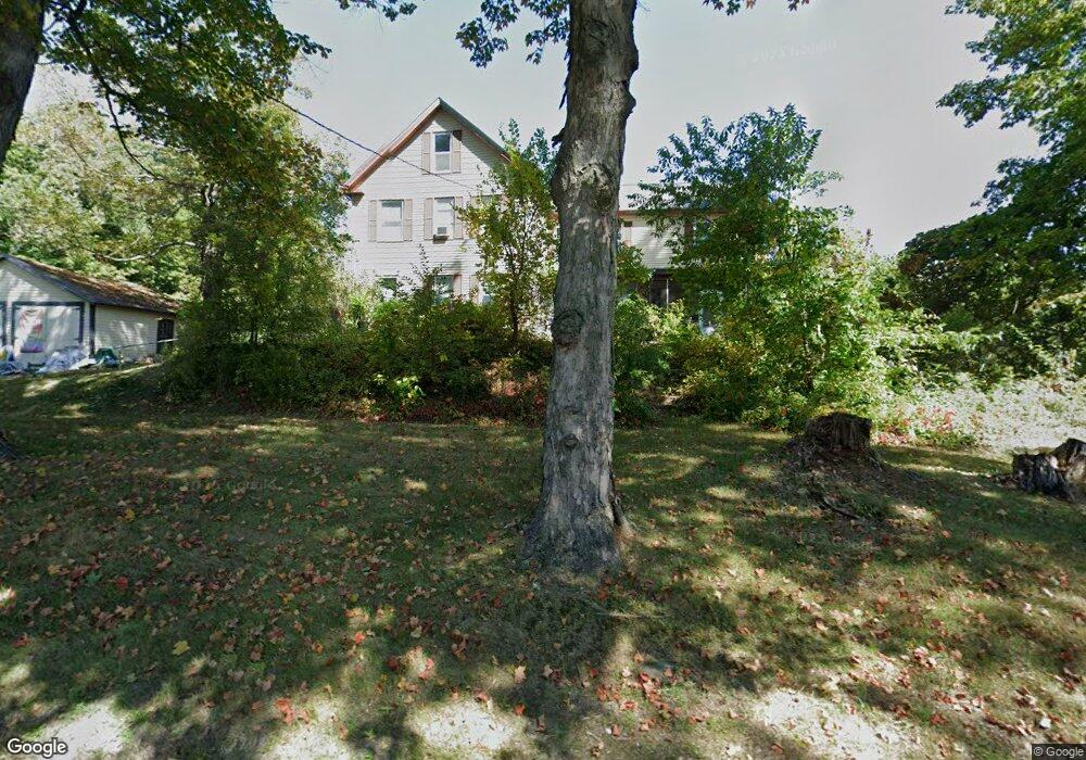
35 N Row Rd Sterling, MA 01564
Estimated Value: $517,574 - $646,000
3
Beds
2
Baths
1,792
Sq Ft
$318/Sq Ft
Est. Value
About This Home
This home is located at 35 N Row Rd, Sterling, MA 01564 and is currently estimated at $569,644, approximately $317 per square foot. 35 N Row Rd is a home located in Worcester County with nearby schools including Wachusett Regional High School and St. Anna Catholic School.
Ownership History
Date
Name
Owned For
Owner Type
Purchase Details
Closed on
Jul 26, 2002
Sold by
Bodwell Oscar P and Bodwell Evelyn A
Bought by
Cranson Peter N and Cranson Annalisa B
Current Estimated Value
Home Financials for this Owner
Home Financials are based on the most recent Mortgage that was taken out on this home.
Original Mortgage
$110,000
Outstanding Balance
$47,145
Interest Rate
6.73%
Mortgage Type
Purchase Money Mortgage
Estimated Equity
$522,499
Create a Home Valuation Report for This Property
The Home Valuation Report is an in-depth analysis detailing your home's value as well as a comparison with similar homes in the area
Home Values in the Area
Average Home Value in this Area
Purchase History
| Date | Buyer | Sale Price | Title Company |
|---|---|---|---|
| Cranson Peter N | $380,000 | -- |
Source: Public Records
Mortgage History
| Date | Status | Borrower | Loan Amount |
|---|---|---|---|
| Open | Cranson Peter N | $110,000 |
Source: Public Records
Tax History Compared to Growth
Tax History
| Year | Tax Paid | Tax Assessment Tax Assessment Total Assessment is a certain percentage of the fair market value that is determined by local assessors to be the total taxable value of land and additions on the property. | Land | Improvement |
|---|---|---|---|---|
| 2025 | $5,331 | $413,900 | $145,000 | $268,900 |
| 2024 | $5,017 | $376,900 | $145,000 | $231,900 |
| 2023 | $5,234 | $366,000 | $145,000 | $221,000 |
| 2022 | $4,673 | $306,400 | $127,300 | $179,100 |
| 2021 | $5,219 | $294,500 | $127,300 | $167,200 |
| 2020 | $5,834 | $263,900 | $127,300 | $136,600 |
| 2019 | $7,877 | $249,900 | $127,300 | $122,600 |
| 2018 | $86 | $244,400 | $131,800 | $112,600 |
| 2017 | $4,077 | $226,100 | $122,100 | $104,000 |
| 2016 | $4,176 | $227,800 | $122,100 | $105,700 |
| 2015 | $4,022 | $232,600 | $118,600 | $114,000 |
| 2014 | $3,938 | $232,600 | $118,600 | $114,000 |
Source: Public Records
Map
Nearby Homes
- 17 Turtle Ln Unit 17
- 2 Turtle Ln Unit 2
- 2 Keeneland Cir
- 675 Willard St
- 29 Wedgewood Ln
- 121 &125 Flanagan Hill Rd
- 1237 Central St Unit 15
- 23 Lantern Ln
- 50 Indian Ridge Dr
- 12 Drummer Ln
- 315 Grant St
- 97 Berrington Rd Unit 97
- 96 Clinton Rd
- 12 Walden Ct
- 17 Taft Rd
- 213 Bayberry Hill Ln
- 45 Meetinghouse Hill Rd
- 0 Brockelman Rd Unit 73424117
- 765 Brockelman Road Lot C
- 5 Pine Woods Ln