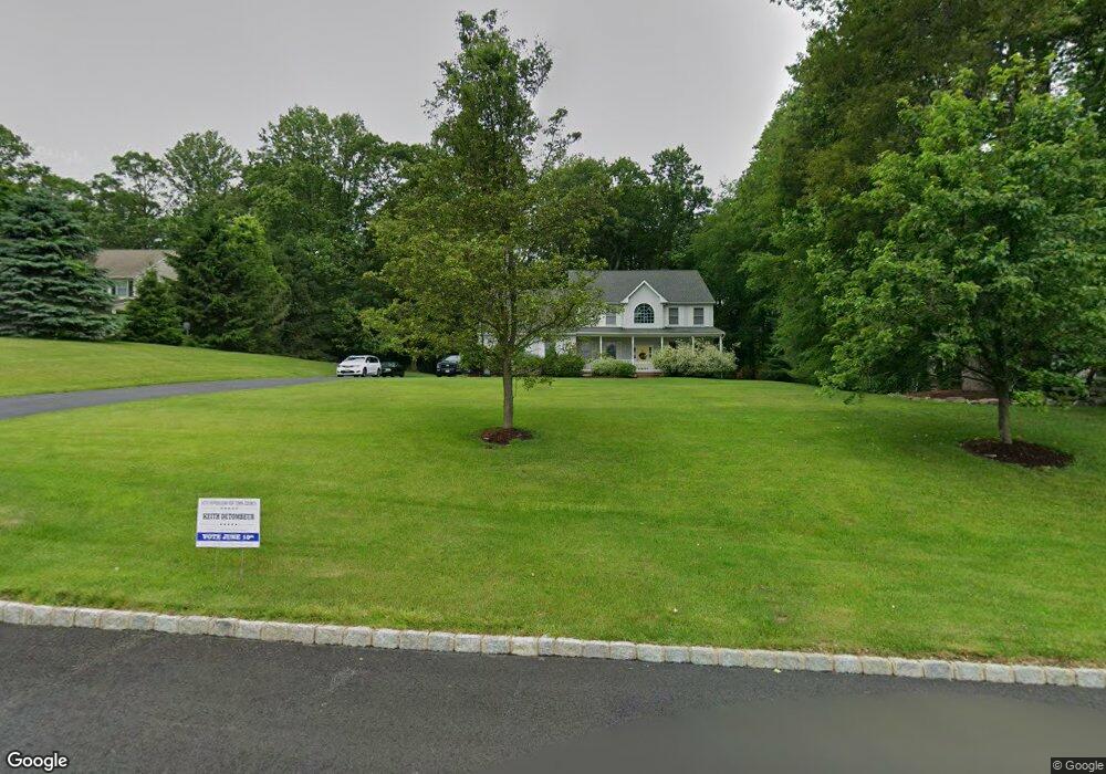
35 Oak Crest Dr Hackettstown, NJ 07840
Estimated Value: $582,096 - $748,000
--
Bed
--
Bath
2,705
Sq Ft
$253/Sq Ft
Est. Value
About This Home
This home is located at 35 Oak Crest Dr, Hackettstown, NJ 07840 and is currently estimated at $684,024, approximately $252 per square foot. 35 Oak Crest Dr is a home located in Warren County with nearby schools including Mountain Villa School and Allamuchy Township Elementary School.
Ownership History
Date
Name
Owned For
Owner Type
Purchase Details
Closed on
Aug 6, 2004
Sold by
Cornerstone Construction Excavating & El
Bought by
Obrien Thomas Joseph and Obrien Joan M
Current Estimated Value
Home Financials for this Owner
Home Financials are based on the most recent Mortgage that was taken out on this home.
Original Mortgage
$300,000
Outstanding Balance
$150,344
Interest Rate
6.16%
Mortgage Type
Purchase Money Mortgage
Estimated Equity
$533,680
Create a Home Valuation Report for This Property
The Home Valuation Report is an in-depth analysis detailing your home's value as well as a comparison with similar homes in the area
Home Values in the Area
Average Home Value in this Area
Purchase History
| Date | Buyer | Sale Price | Title Company |
|---|---|---|---|
| Obrien Thomas Joseph | $481,064 | Title Lines Abstracts & Titl |
Source: Public Records
Mortgage History
| Date | Status | Borrower | Loan Amount |
|---|---|---|---|
| Open | Obrien Thomas Joseph | $300,000 |
Source: Public Records
Tax History Compared to Growth
Tax History
| Year | Tax Paid | Tax Assessment Tax Assessment Total Assessment is a certain percentage of the fair market value that is determined by local assessors to be the total taxable value of land and additions on the property. | Land | Improvement |
|---|---|---|---|---|
| 2025 | $11,659 | $363,200 | $110,200 | $253,000 |
| 2024 | $11,555 | $363,200 | $110,200 | $253,000 |
| 2023 | $11,315 | $363,200 | $110,200 | $253,000 |
| 2022 | $11,315 | $363,200 | $110,200 | $253,000 |
| 2021 | $10,974 | $363,200 | $110,200 | $253,000 |
| 2020 | $10,725 | $363,200 | $110,200 | $253,000 |
| 2019 | $10,551 | $363,200 | $110,200 | $253,000 |
| 2018 | $10,769 | $363,200 | $110,200 | $253,000 |
| 2017 | $10,664 | $363,200 | $110,200 | $253,000 |
| 2016 | $10,584 | $363,200 | $110,200 | $253,000 |
| 2015 | $10,639 | $363,200 | $110,200 | $253,000 |
| 2014 | $10,184 | $363,200 | $110,200 | $253,000 |
Source: Public Records
Map
Nearby Homes
- 94 Ridge Rd
- 102 Ridge Rd
- 942 County Road 517
- 3-A Old Bilby Rd
- 101 Kemper Ct
- 41 Killdeer Place
- 7 Poplar Ct
- 26 Goldfinch Dr
- 81 Countryside Dr
- 108 Goldfinch Meadows
- 38 Goldfinch Dr
- 34 Ryan Rd
- 6316 Belmont Dr Unit 16
- 11 Pheasant Run
- 305 Tulsa Ct Unit 67A05
- 00 Russling Rd
- 508 Hamilton Dr
- 156 Osprey Unit 5
- 17 Alexanders Rd
- 39 Overlook Dr