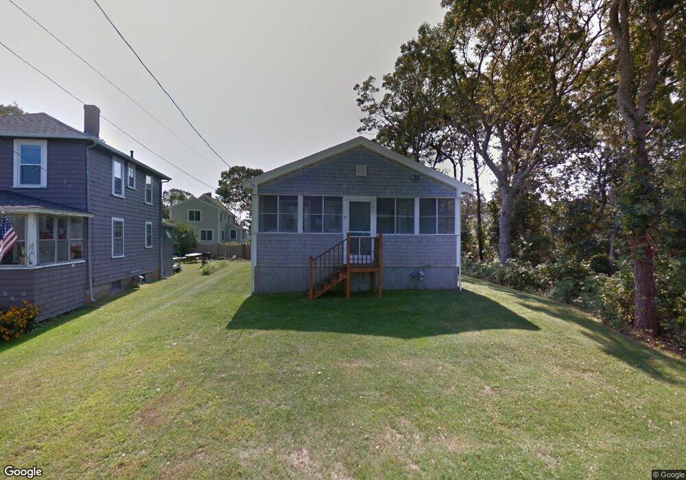
35 Penobscot Ave Pocasset, MA 2559
Pocasset NeighborhoodEstimated Value: $588,000 - $698,000
3
Beds
1
Bath
864
Sq Ft
$744/Sq Ft
Est. Value
About This Home
This home is located at 35 Penobscot Ave, Pocasset, MA 2559 and is currently estimated at $643,015, approximately $744 per square foot. 35 Penobscot Ave is a home located in Barnstable County with nearby schools including Bourne High School and Cadence Academy Preschool - Bourne.
Ownership History
Date
Name
Owned For
Owner Type
Purchase Details
Closed on
Nov 13, 2024
Sold by
Golbabai Mehran and Golbabai Carolyn J
Bought by
Golbabai Ft and Golbabai
Current Estimated Value
Purchase Details
Closed on
Jun 18, 2010
Sold by
Phyllis M Calarese T M and Phyllis Barbarotta
Bought by
Golbabai Mehran and Golbabai Carolyn J
Purchase Details
Closed on
Jul 30, 2008
Sold by
Calarese Phyllis M
Bought by
Phyllis M Calarese T M and Phyllis Calarese
Purchase Details
Closed on
Jun 23, 2008
Sold by
Calarese Phyllis Padula and Calarese William E
Bought by
Golbabai Carolyn J and Calarese Phyllis Padula
Create a Home Valuation Report for This Property
The Home Valuation Report is an in-depth analysis detailing your home's value as well as a comparison with similar homes in the area
Home Values in the Area
Average Home Value in this Area
Purchase History
| Date | Buyer | Sale Price | Title Company |
|---|---|---|---|
| Golbabai Ft | -- | None Available | |
| Golbabai Ft | -- | None Available | |
| Golbabai Ft | -- | None Available | |
| Golbabai Mehran | $247,000 | -- | |
| Phyllis M Calarese T M | -- | -- | |
| Golbabai Carolyn J | -- | -- | |
| Golbabai Mehran | $247,000 | -- | |
| Phyllis M Calarese T M | -- | -- | |
| Golbabai Carolyn J | -- | -- |
Source: Public Records
Tax History Compared to Growth
Tax History
| Year | Tax Paid | Tax Assessment Tax Assessment Total Assessment is a certain percentage of the fair market value that is determined by local assessors to be the total taxable value of land and additions on the property. | Land | Improvement |
|---|---|---|---|---|
| 2025 | $4,227 | $541,200 | $373,000 | $168,200 |
| 2024 | $4,134 | $515,400 | $355,200 | $160,200 |
| 2023 | $3,737 | $424,200 | $314,400 | $109,800 |
| 2022 | $3,367 | $333,700 | $246,600 | $87,100 |
| 2021 | $3,271 | $303,700 | $224,400 | $79,300 |
| 2020 | $3,194 | $297,400 | $222,300 | $75,100 |
| 2019 | $3,082 | $293,200 | $222,300 | $70,900 |
| 2018 | $3,001 | $284,700 | $217,200 | $67,500 |
| 2017 | $2,905 | $282,000 | $215,100 | $66,900 |
| 2016 | $2,606 | $256,500 | $204,400 | $52,100 |
| 2015 | $2,420 | $240,300 | $188,200 | $52,100 |
Source: Public Records
Map
Nearby Homes
- 171 Bellavista Dr
- 22 Nairn Rd
- 34 Kenwood Rd
- 45 Kenwood Rd
- 89 Harbor Dr
- 70 Wings Neck Rd
- 24 Richmond Rd
- 48 Red Brook Harbor Rd
- 3 Red Brook Pond Dr
- 254 Barlows Landing Rd
- 1094 County Rd
- 14 Navajo Rd
- 75 Winsor Rd
- 940 County Rd
- 940 County Rd
- 10 Squeteague Harbor Rd
- 709 County Rd
- 174 Barlows Landing Rd
- 250 Scraggy Neck Rd
- 31 Penobscot Ave
- 31 Penobscot Ave
- 39 Penobscot Ave
- 27 Penobscot Ave
- 4 Naumkeag Ave
- 283 Circuit Ave
- 563 Circuit Ave
- 6 Naumkeag Ave
- 281 Circuit Ave
- 23 Penobscot Ave
- 10 Naumkeag Ave
- 567 Circuit Ave
- 42 Penobscot Ave
- 12 Naumkeag Ave
- 273 Circuit Ave
- 19 Penobscot Ave
- 19 Penobscot Ave
- 573 Circuit Ave
- 16 Naumkeag Ave
- 16 Naumkeag Ave