Estimated Value: $358,000 - $384,000
2
Beds
2
Baths
1,219
Sq Ft
$304/Sq Ft
Est. Value
About This Home
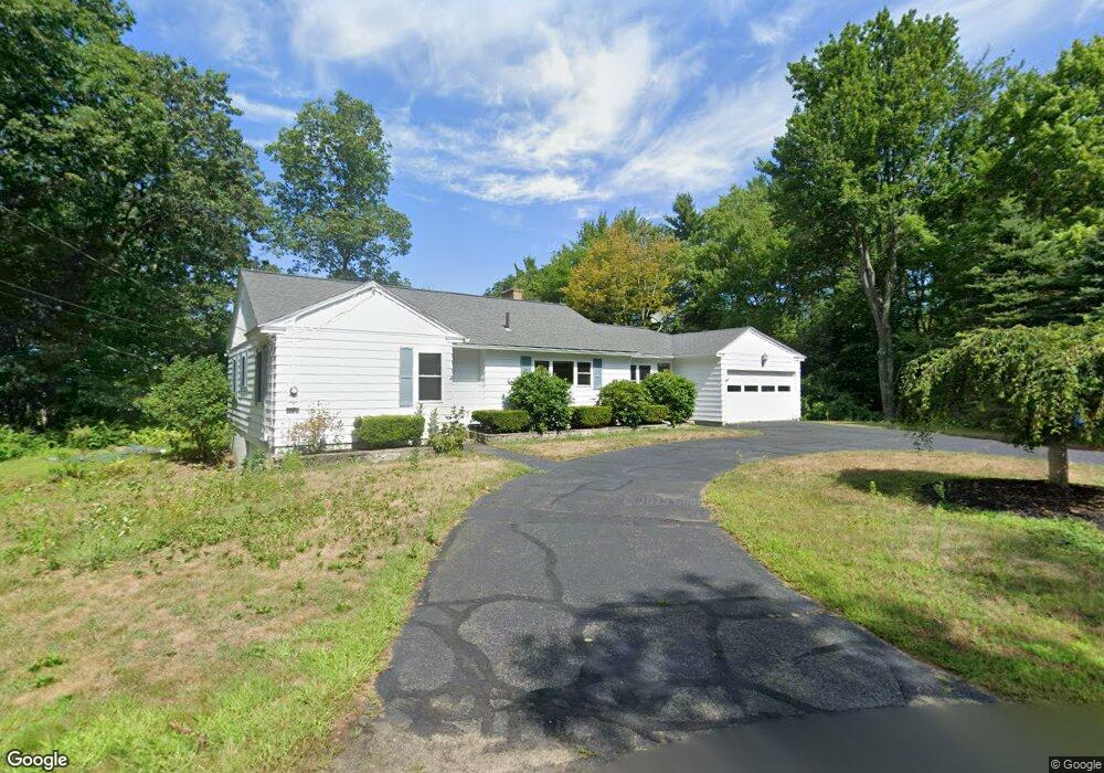
This home is located at 35 Philip Rd Unit 1, Athol, MA 01331 and is currently estimated at $370,239, approximately $303 per square foot. 35 Philip Rd Unit 1 is a home located in Worcester County with nearby schools including Athol High School.
Ownership History
Date
Name
Owned For
Owner Type
Purchase Details
Closed on
Aug 19, 2025
Sold by
Fitzgerald William J
Bought by
Eric D Peterson Ret and Banghart
Current Estimated Value
Purchase Details
Closed on
Dec 1, 1999
Sold by
Ambrozy Donald C and Ambrozy Richard C
Bought by
Fitzgerald William J and Fitzgerald Susan H
Home Financials for this Owner
Home Financials are based on the most recent Mortgage that was taken out on this home.
Original Mortgage
$100,300
Interest Rate
7.86%
Mortgage Type
Purchase Money Mortgage
Purchase Details
Closed on
Mar 14, 1990
Sold by
Landry Joseph T
Bought by
Ambrozy Donald
Create a Home Valuation Report for This Property
The Home Valuation Report is an in-depth analysis detailing your home's value as well as a comparison with similar homes in the area
Home Values in the Area
Average Home Value in this Area
Purchase History
| Date | Buyer | Sale Price | Title Company |
|---|---|---|---|
| Eric D Peterson Ret | $375,000 | -- | |
| Eric D Peterson Ret | $375,000 | -- | |
| Fitzgerald William J | $111,500 | -- | |
| Fitzgerald William J | $111,500 | -- | |
| Ambrozy Donald | $92,000 | -- | |
| Ambrozy Donald | $92,000 | -- |
Source: Public Records
Mortgage History
| Date | Status | Borrower | Loan Amount |
|---|---|---|---|
| Previous Owner | Ambrozy Donald | $13,200 | |
| Previous Owner | Ambrozy Donald | $99,500 | |
| Previous Owner | Ambrozy Donald | $100,300 |
Source: Public Records
Tax History Compared to Growth
Tax History
| Year | Tax Paid | Tax Assessment Tax Assessment Total Assessment is a certain percentage of the fair market value that is determined by local assessors to be the total taxable value of land and additions on the property. | Land | Improvement |
|---|---|---|---|---|
| 2025 | $3,649 | $287,100 | $64,900 | $222,200 |
| 2024 | $3,537 | $275,700 | $64,900 | $210,800 |
| 2023 | $3,347 | $238,400 | $46,900 | $191,500 |
| 2022 | $3,231 | $201,300 | $44,600 | $156,700 |
| 2021 | $4,701 | $170,500 | $40,100 | $130,400 |
| 2020 | $2,805 | $163,300 | $36,400 | $126,900 |
| 2019 | $2,677 | $153,400 | $34,400 | $119,000 |
| 2018 | $2,862 | $136,100 | $31,200 | $104,900 |
| 2017 | $2,444 | $119,800 | $31,200 | $88,600 |
| 2016 | $2,261 | $114,000 | $31,200 | $82,800 |
| 2015 | $2,169 | $114,000 | $31,200 | $82,800 |
| 2014 | $2,101 | $114,000 | $31,200 | $82,800 |
Source: Public Records
Map
Nearby Homes
- 120 Arlington St
- 288 Chase Rd
- 0 Brickyard Rd
- 3 Chestnut St
- 0000 Gage Rd
- 245 Brookside Rd
- 340 Brickyard Rd
- 305 S Athol Rd
- 71 Wendell St
- 133 Harvard Ave
- 126 Harvard Ave
- 226 Chestnut St
- 55 South St
- 68 D St
- 5 Lombard Ave
- 23 Mount Pleasant St
- 696 Cottage St Unit Lot 10
- 182 Harrison St
- 73 Fern St
- 193 Freedom St
- 61 Mountainview Rd
- 38 Philip Rd
- 109 Mountainview Rd
- 74 Mountainview Rd
- 192 Riverview Ave
- 136 Philip Rd
- 96 Mountainview Rd
- 176 Riverview Ave
- 214 Riverview Ave
- 114 Mountainview Rd
- 85 Hillcrest Rd
- 109 Hillcrest Rd
- 101 Forest Ave
- 0 Woodland Dr
- 81 Forest Ave
- 131 Forest Ave
- 114 Riverview Ave
- 155 Riverview Ave
- 65 Forest Ave
- 1 Forest Ave