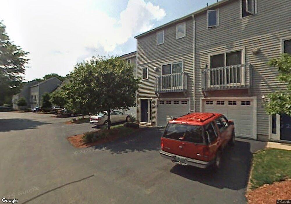
35 Profile Cir Nashua, NH 03063
Northwest Nashua NeighborhoodEstimated Value: $328,295 - $338,000
About This Home
This home is located at 35 Profile Cir, Nashua, NH 03063 and is currently estimated at $333,324, approximately $320 per square foot. 35 Profile Cir is a home located in Hillsborough County with nearby schools including Charlotte Ave Elementary School, Pennichuck Middle School, and Nashua High School North.
Ownership History
We collect this data history from publicly available records. To have your information removed, we recommend requesting removal directly through your county’s website.
Purchase Details
Home Financials for this Owner
Home Financials are based on the most recent Mortgage that was taken out on this home.Home Values in the Area
Average Home Value in this Area
Purchase History
We collect this data history from publicly available records. To have your information removed, we recommend requesting removal directly through your county’s website.
| Date | Buyer | Sale Price | Title Company |
|---|---|---|---|
| $170,000 | -- |
Mortgage History
We collect this data history from publicly available records. To have your information removed, we recommend requesting removal directly through your county’s website.
| Date | Status | Borrower | Loan Amount |
|---|---|---|---|
| Open | $161,500 |
Tax History
We collect this data history from publicly available records. To have your information removed, we recommend requesting removal directly through your county’s website.
| Year | Tax Paid | Tax Assessment Tax Assessment Total Assessment is a certain percentage of the fair market value that is determined by local assessors to be the total taxable value of land and additions on the property. | Land | Improvement |
|---|---|---|---|---|
| 2025 | $5,057 | $300,500 | $0 | $300,500 |
| 2024 | $4,778 | $300,500 | $0 | $300,500 |
| 2023 | $4,754 | $260,800 | $0 | $260,800 |
| 2022 | $4,713 | $260,800 | $0 | $260,800 |
| 2021 | $3,752 | $161,600 | $0 | $161,600 |
| 2020 | $3,654 | $161,600 | $0 | $161,600 |
| 2019 | $3,516 | $161,600 | $0 | $161,600 |
| 2018 | $3,428 | $161,600 | $0 | $161,600 |
| 2017 | $3,219 | $124,800 | $0 | $124,800 |
| 2016 | $3,129 | $124,800 | $0 | $124,800 |
| 2015 | $3,061 | $124,800 | $0 | $124,800 |
| 2014 | $3,001 | $124,800 | $0 | $124,800 |
Map
- 37 Cannongate III
- 181 Cannongate III
- 184 Cannongate III
- 8 Bennington Rd
- 5 Westminster Dr Unit U161
- 3 Salisbury Rd Unit U64
- 16 Salisbury Rd Unit U44
- 52 Watson St
- 14 Juniper Ln
- 29 Burnside St
- 45 Northwood Dr
- 44 Broad St
- 8 Hooker St
- 96 Dublin Ave
- 8 Sandstone Dr
- 7 Buker St
- 48 Ramsgate Ridge Unit U251
- 5 Ashland St Unit 141
- 9 Bennett St
- 5 Birch Hill Dr
- 40 Profile Cir
- 40 Profile Cir Unit 4
- 39 Profile Cir
- 38 Profile Cir
- 37 Profile Cir
- 41 Profile Cir
- 42 Profile Cir
- 43 Profile Cir
- 34 Profile Cir
- 44 Profile Cir
- 33 Profile Cir
- 45 Profile Cir
- 46 Profile Cir
- 46 Profile Cir Unit 46
- 12 Profile Cir
- 10 Profile Cir
- 13 Profile Cir
- 14 Profile Cir
- 32 Profile Cir
- 9 Profile Cir
Ask me questions while you tour the home.