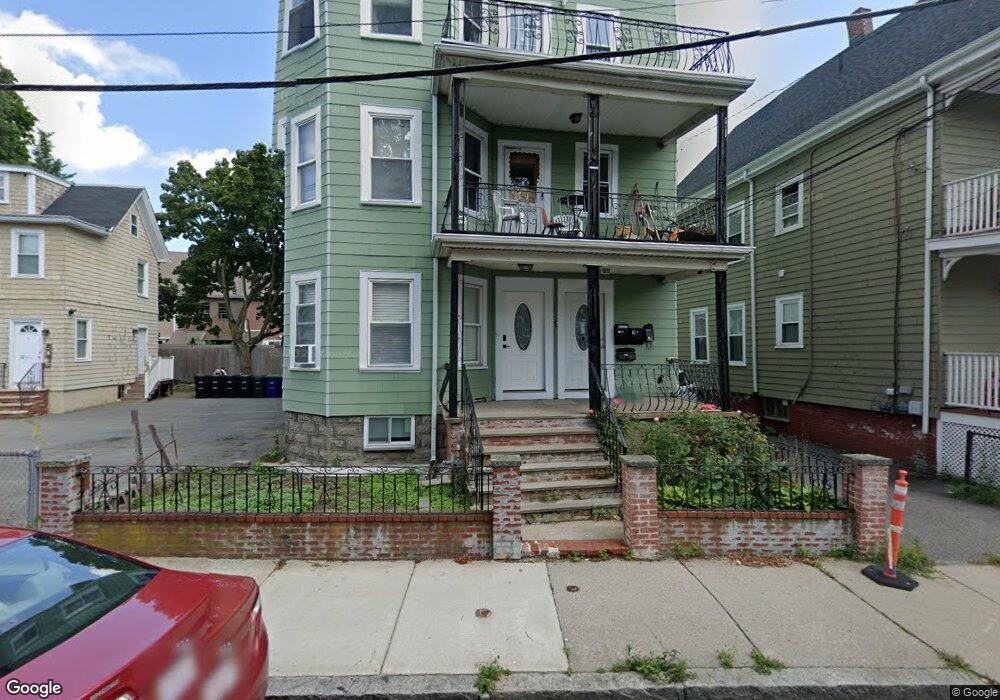
35 Radcliffe Rd Somerville, MA 02145
Winter Hill NeighborhoodEstimated Value: $1,526,000 - $1,639,000
9
Beds
3
Baths
3,877
Sq Ft
$410/Sq Ft
Est. Value
About This Home
This home is located at 35 Radcliffe Rd, Somerville, MA 02145 and is currently estimated at $1,591,390, approximately $410 per square foot. 35 Radcliffe Rd is a home located in Middlesex County with nearby schools including Somerville High School and Bright Future Educare Center.
Ownership History
Date
Name
Owned For
Owner Type
Purchase Details
Closed on
Dec 2, 2022
Sold by
Tian-Huang Hua and Liang Yan M
Bought by
Radcliffe Road Rt
Current Estimated Value
Purchase Details
Closed on
Aug 18, 2004
Sold by
Ploinette Lormilus and Paul Mcguffie
Bought by
Singh Raghvir and Singh Sukhwant
Home Financials for this Owner
Home Financials are based on the most recent Mortgage that was taken out on this home.
Original Mortgage
$516,300
Interest Rate
6.03%
Mortgage Type
Purchase Money Mortgage
Create a Home Valuation Report for This Property
The Home Valuation Report is an in-depth analysis detailing your home's value as well as a comparison with similar homes in the area
Home Values in the Area
Average Home Value in this Area
Purchase History
| Date | Buyer | Sale Price | Title Company |
|---|---|---|---|
| Radcliffe Road Rt | -- | None Available | |
| Singh Raghvir | $670,000 | -- |
Source: Public Records
Mortgage History
| Date | Status | Borrower | Loan Amount |
|---|---|---|---|
| Previous Owner | Singh Raghvir | $516,300 |
Source: Public Records
Tax History
| Year | Tax Paid | Tax Assessment Tax Assessment Total Assessment is a certain percentage of the fair market value that is determined by local assessors to be the total taxable value of land and additions on the property. | Land | Improvement |
|---|---|---|---|---|
| 2025 | $15,378 | $1,409,500 | $386,800 | $1,022,700 |
| 2024 | $14,357 | $1,364,700 | $386,800 | $977,900 |
| 2023 | $12,512 | $1,210,100 | $386,800 | $823,300 |
| 2022 | $11,970 | $1,175,800 | $368,400 | $807,400 |
| 2021 | $11,511 | $1,129,600 | $350,800 | $778,800 |
| 2020 | $11,262 | $1,116,200 | $337,400 | $778,800 |
| 2019 | $10,436 | $969,900 | $286,400 | $683,500 |
| 2018 | $8,805 | $778,500 | $276,200 | $502,300 |
| 2017 | $8,570 | $734,400 | $257,600 | $476,800 |
| 2016 | $7,969 | $636,000 | $222,700 | $413,300 |
Source: Public Records
Map
Nearby Homes
- 7 Mortimer Place Unit 2
- 15 Stickney Ave Unit C
- 15 Stickney Ave Unit A
- 232 Pearl St
- 185 School St
- 52 Thurston St Unit 3
- 74 Gilman St Unit 1
- 46 Highland Ave Unit 3B
- 11 Macarthur St Unit B
- 11 Macarthur St Unit A
- 30 Wheatland St
- 115 Thurston St Unit I
- 19 Everett Ave
- 14 Bonair St Unit 14
- 14 Hamlet St Unit C
- 2 Derby St
- 66 Grant St Unit 1
- 43 Cross St
- 19 Fenwick St Unit 4
- 60 Derby St Unit 5
- 37 Radcliffe Rd Unit 2
- 37 Radcliffe Rd
- 37 Radcliffe Rd Unit 3
- 35 - 37 Radcliffe Rd
- 33 Radcliffe Rd
- 72 Marshall St
- 72 Marshall St Unit 2F
- 32 Bradley St Unit 32
- 32 Bradley St
- 32 Bradley St
- 32 Bradley St
- 32 Bradley St Unit 2
- 32 Bradley St Unit 1
- 29 Radcliffe Rd Unit 2
- 29 Radcliffe Rd
- 29 Radcliffe Rd
- 29 Radcliffe Rd Unit 1
- 62 Marshall St Unit A
- 62 Marshall St Unit B
- 62 Marshall St Unit C
Your Personal Tour Guide
Ask me questions while you tour the home.