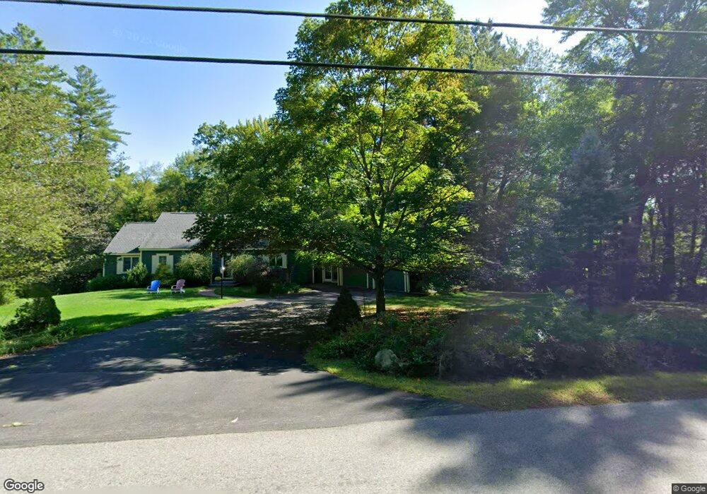
35 Ranger Rd Hollis, NH 03049
Hollis NeighborhoodEstimated Value: $820,980 - $1,088,000
5
Beds
3
Baths
2,895
Sq Ft
$332/Sq Ft
Est. Value
About This Home
This home is located at 35 Ranger Rd, Hollis, NH 03049 and is currently estimated at $961,495, approximately $332 per square foot. 35 Ranger Rd is a home with nearby schools including Hollis Primary School, Hollis Upper Elementary School, and Hollis-Brookline Middle School.
Ownership History
Date
Name
Owned For
Owner Type
Purchase Details
Closed on
May 16, 1997
Sold by
Grdn Life Ins Co
Bought by
Jaramillo Martha C
Current Estimated Value
Home Financials for this Owner
Home Financials are based on the most recent Mortgage that was taken out on this home.
Original Mortgage
$184,000
Outstanding Balance
$25,463
Interest Rate
8.12%
Estimated Equity
$936,032
Purchase Details
Closed on
Mar 19, 1997
Sold by
Healy Suzanne E and Healy James L
Bought by
Grdn Life Ins
Home Financials for this Owner
Home Financials are based on the most recent Mortgage that was taken out on this home.
Original Mortgage
$184,000
Outstanding Balance
$25,463
Interest Rate
8.12%
Estimated Equity
$936,032
Create a Home Valuation Report for This Property
The Home Valuation Report is an in-depth analysis detailing your home's value as well as a comparison with similar homes in the area
Home Values in the Area
Average Home Value in this Area
Purchase History
| Date | Buyer | Sale Price | Title Company |
|---|---|---|---|
| Jaramillo Martha C | $230,000 | -- | |
| Grdn Life Ins | $228,000 | -- |
Source: Public Records
Mortgage History
| Date | Status | Borrower | Loan Amount |
|---|---|---|---|
| Open | Grdn Life Ins | $184,000 |
Source: Public Records
Tax History Compared to Growth
Tax History
| Year | Tax Paid | Tax Assessment Tax Assessment Total Assessment is a certain percentage of the fair market value that is determined by local assessors to be the total taxable value of land and additions on the property. | Land | Improvement |
|---|---|---|---|---|
| 2024 | $11,819 | $666,600 | $266,800 | $399,800 |
| 2023 | $11,106 | $666,600 | $266,800 | $399,800 |
| 2022 | $15,045 | $666,600 | $266,800 | $399,800 |
| 2021 | $9,741 | $429,100 | $179,600 | $249,500 |
| 2020 | $5,297 | $429,100 | $179,600 | $249,500 |
| 2019 | $5,423 | $429,100 | $179,600 | $249,500 |
| 2018 | $9,299 | $429,100 | $179,600 | $249,500 |
| 2017 | $8,672 | $374,600 | $159,600 | $215,000 |
| 2016 | $8,777 | $374,600 | $159,600 | $215,000 |
| 2015 | $8,623 | $374,600 | $159,600 | $215,000 |
| 2014 | $8,664 | $374,600 | $159,600 | $215,000 |
| 2013 | $8,548 | $374,600 | $159,600 | $215,000 |
Source: Public Records
Map
Nearby Homes
- 334 Broad St
- 76 Bartemus Trail Unit U231
- 22 Cathedral Cir
- 199 Pine Hill Rd
- 11 Bartemus Trail Unit 204
- 6 Cornwall Ln Unit 7
- 3 Richmond St
- 14 Parrish Hill Dr
- 4 Nelson St
- 5 Meghan Dr Unit U23
- 46 Scenic Dr
- 20 Martha St
- 27 Country Hill Rd Unit U90
- 424 Broad St
- 4 Chesapeake Rd
- 11 Inca Dr
- 40 Spring Cove Rd Unit U117
- 12 Spring Cove Rd Unit U103
- 5 Plainfield Ln
- 599 W Hollis St