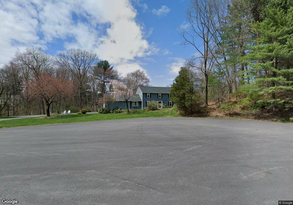
35 Robert Frost Rd Sudbury, MA 01776
Estimated Value: $1,072,000 - $1,342,000
4
Beds
3
Baths
2,636
Sq Ft
$452/Sq Ft
Est. Value
About This Home
This home is located at 35 Robert Frost Rd, Sudbury, MA 01776 and is currently estimated at $1,190,753, approximately $451 per square foot. 35 Robert Frost Rd is a home located in Middlesex County with nearby schools including Israel Loring Elementary School, Ephraim Curtis Middle School, and Lincoln-Sudbury Regional High School.
Ownership History
Date
Name
Owned For
Owner Type
Purchase Details
Closed on
Sep 19, 2013
Sold by
Ladieu Duston and Ladieu Stacey P
Bought by
Stacy P Ladieu Ret and Ladieu
Current Estimated Value
Purchase Details
Closed on
Mar 28, 2011
Sold by
Aaronson Burton C and Aaronson Maxine
Bought by
Ladieu Duston and Ladieu Stacey A
Home Financials for this Owner
Home Financials are based on the most recent Mortgage that was taken out on this home.
Original Mortgage
$523,750
Interest Rate
5.07%
Mortgage Type
Purchase Money Mortgage
Purchase Details
Closed on
Feb 8, 2010
Sold by
Aaronson Burton C and Aaronson Maxine
Bought by
Aaronson Burton C and Aaronson Maxine
Create a Home Valuation Report for This Property
The Home Valuation Report is an in-depth analysis detailing your home's value as well as a comparison with similar homes in the area
Home Values in the Area
Average Home Value in this Area
Purchase History
| Date | Buyer | Sale Price | Title Company |
|---|---|---|---|
| Stacy P Ladieu Ret | -- | -- | |
| Stacy P Ladieu Ret | -- | -- | |
| Ladieu Duston | $665,500 | -- | |
| Ladieu Duston | $665,500 | -- | |
| Aaronson Burton C | -- | -- | |
| Aaronson Burton C | -- | -- |
Source: Public Records
Mortgage History
| Date | Status | Borrower | Loan Amount |
|---|---|---|---|
| Previous Owner | Aaronson Burton C | $523,750 | |
| Previous Owner | Ladieu Duston | $523,750 | |
| Previous Owner | Aaronson Burton C | $100,000 |
Source: Public Records
Tax History Compared to Growth
Tax History
| Year | Tax Paid | Tax Assessment Tax Assessment Total Assessment is a certain percentage of the fair market value that is determined by local assessors to be the total taxable value of land and additions on the property. | Land | Improvement |
|---|---|---|---|---|
| 2025 | $15,040 | $1,027,300 | $501,000 | $526,300 |
| 2024 | $14,479 | $991,000 | $486,600 | $504,400 |
| 2023 | $13,542 | $858,700 | $434,600 | $424,100 |
| 2022 | $13,630 | $755,100 | $398,600 | $356,500 |
| 2021 | $13,217 | $701,900 | $398,600 | $303,300 |
| 2020 | $12,950 | $701,900 | $398,600 | $303,300 |
| 2019 | $12,571 | $701,900 | $398,600 | $303,300 |
| 2018 | $12,610 | $703,300 | $424,200 | $279,100 |
| 2017 | $12,118 | $683,100 | $420,600 | $262,500 |
| 2016 | $11,746 | $659,900 | $404,600 | $255,300 |
| 2015 | $11,128 | $632,300 | $393,000 | $239,300 |
| 2014 | $11,105 | $615,900 | $381,400 | $234,500 |
Source: Public Records
Map
Nearby Homes
- 23 Cider Mill Rd
- 84 Hopestill Brown Rd
- 91 Eaton Rd W
- 14 Eisenhower Rd
- 19 Nob Hill Dr
- 32 Eaton Rd W
- 128 Nobscot Rd
- 30 Nobscot Rd Unit 14
- 0 Wagonwheel Rd
- 1011 Boston Post Rd
- 27 Sloane Dr
- 63 Landham Rd
- 24 Woodland Rd
- 41 James St
- 216 Landham Rd
- 7 Adams Rd
- 40 Gregory Rd
- 106 Baldwin Ave
- 23 Massasoit Ave
- 78 Apple d or Rd
- 66 Raymond Rd
- 27 Robert Frost Rd
- 38 Robert Frost Rd
- 30 Robert Frost Rd
- 60 Raymond Rd
- 19 Robert Frost Rd
- 8 Lands End Ln
- 16 Lands End Ln
- 2 Quaker Lady Ln
- 2 Moran Cir
- 80 Raymond Rd
- 24 Lands End Ln
- 9 Lands End Ln
- 12 Quaker Lady Ln
- 52 Raymond Rd
- 75 Raymond Rd
- 9 Moran Cir
- 15 Lands End Ln
- 38 Lands End Ln
- 11 Robert Frost Rd