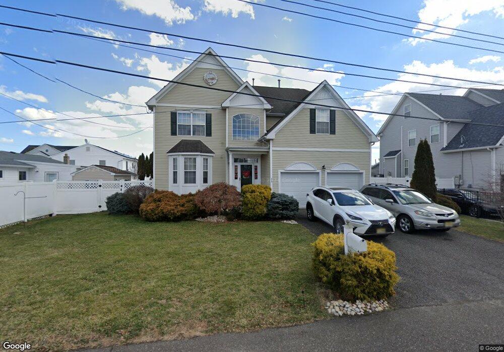
35 Sage Rd Toms River, NJ 08753
Estimated Value: $720,675 - $847,000
4
Beds
3
Baths
2,689
Sq Ft
$287/Sq Ft
Est. Value
About This Home
This home is located at 35 Sage Rd, Toms River, NJ 08753 and is currently estimated at $772,669, approximately $287 per square foot. 35 Sage Rd is a home located in Ocean County.
Ownership History
Date
Name
Owned For
Owner Type
Purchase Details
Closed on
Oct 9, 2015
Sold by
Platt William and Platt Linda
Bought by
Platt William and Platt Linda
Current Estimated Value
Home Financials for this Owner
Home Financials are based on the most recent Mortgage that was taken out on this home.
Original Mortgage
$212,328
Outstanding Balance
$126,877
Interest Rate
3.79%
Mortgage Type
New Conventional
Estimated Equity
$645,792
Purchase Details
Closed on
Jan 10, 2002
Sold by
Manner Custom Homes
Bought by
Platt William
Home Financials for this Owner
Home Financials are based on the most recent Mortgage that was taken out on this home.
Original Mortgage
$195,000
Interest Rate
7.15%
Purchase Details
Closed on
Jan 10, 2001
Create a Home Valuation Report for This Property
The Home Valuation Report is an in-depth analysis detailing your home's value as well as a comparison with similar homes in the area
Home Values in the Area
Average Home Value in this Area
Purchase History
| Date | Buyer | Sale Price | Title Company |
|---|---|---|---|
| Platt William | -- | Title Source Inc | |
| Platt William | $249,900 | -- | |
| -- | $249,900 | -- |
Source: Public Records
Mortgage History
| Date | Status | Borrower | Loan Amount |
|---|---|---|---|
| Open | Platt William | $212,328 | |
| Closed | Platt William | $195,000 |
Source: Public Records
Tax History Compared to Growth
Tax History
| Year | Tax Paid | Tax Assessment Tax Assessment Total Assessment is a certain percentage of the fair market value that is determined by local assessors to be the total taxable value of land and additions on the property. | Land | Improvement |
|---|---|---|---|---|
| 2025 | $8,589 | $471,400 | $114,000 | $357,400 |
| 2024 | $8,160 | $471,400 | $114,000 | $357,400 |
| 2023 | $7,863 | $471,400 | $114,000 | $357,400 |
| 2022 | $7,863 | $471,400 | $114,000 | $357,400 |
| 2021 | $8,546 | $342,100 | $76,800 | $265,300 |
| 2020 | $8,508 | $342,100 | $76,800 | $265,300 |
| 2019 | $8,139 | $342,100 | $76,800 | $265,300 |
| 2018 | $8,056 | $342,100 | $76,800 | $265,300 |
| 2017 | $8,002 | $342,100 | $76,800 | $265,300 |
| 2016 | $7,814 | $342,100 | $76,800 | $265,300 |
| 2015 | $7,533 | $342,100 | $76,800 | $265,300 |
| 2014 | $7,160 | $342,100 | $76,800 | $265,300 |
Source: Public Records
Map
Nearby Homes
- 191 Cranberry Rd
- 169 S Shore Dr
- 230 Christoffer Terrace
- 2 Cedar Tree Ln
- 1916 Waters Edge Dr Unit 16
- 1019 Waters Edge Dr
- 99 Silver Bay Rd
- 6 Cedar Tree Ln
- 2415 Waters Edge Dr
- 1214 Waters Edge Dr Unit 14
- 1836 Ensign Ct
- 161 Bay Stream Dr
- 2517 Waters Edge Dr Unit 17
- 173 Bay Stream Dr
- 1850 Ensign Ct
- 8 Pumpshire Rd
- 193 Bay Stream Dr
- 133 Mello Ln
- 139 Mello Ln
- 214 Bay Stream Dr