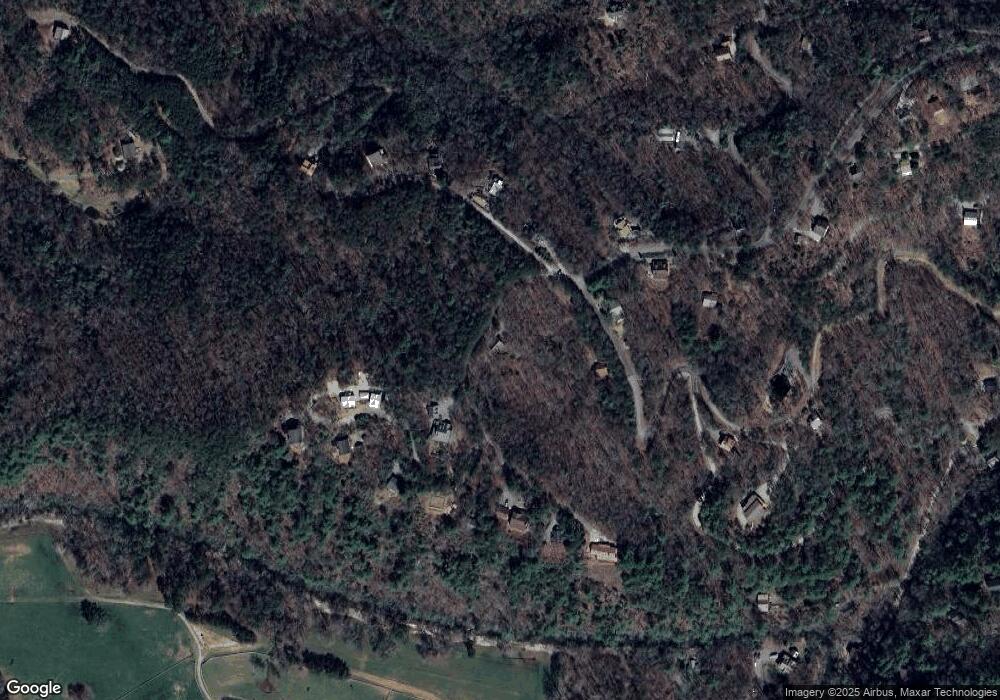
35 the Bluff Morganton, GA 30560
Estimated Value: $400,000 - $442,000
--
Bed
2
Baths
1,482
Sq Ft
$287/Sq Ft
Est. Value
About This Home
This home is located at 35 the Bluff, Morganton, GA 30560 and is currently estimated at $425,497, approximately $287 per square foot. 35 the Bluff is a home located in Fannin County with nearby schools including Fannin County High School.
Ownership History
Date
Name
Owned For
Owner Type
Purchase Details
Closed on
Aug 18, 2025
Sold by
Griner Ouida Margaret
Bought by
Tremmel Matthew
Current Estimated Value
Home Financials for this Owner
Home Financials are based on the most recent Mortgage that was taken out on this home.
Original Mortgage
$225,000
Outstanding Balance
$224,611
Interest Rate
6.75%
Mortgage Type
New Conventional
Estimated Equity
$200,886
Purchase Details
Closed on
Sep 30, 1993
Bought by
Griner Troy B
Create a Home Valuation Report for This Property
The Home Valuation Report is an in-depth analysis detailing your home's value as well as a comparison with similar homes in the area
Home Values in the Area
Average Home Value in this Area
Purchase History
| Date | Buyer | Sale Price | Title Company |
|---|---|---|---|
| Tremmel Matthew | $424,500 | -- | |
| Griner Troy B | $35,000 | -- |
Source: Public Records
Mortgage History
| Date | Status | Borrower | Loan Amount |
|---|---|---|---|
| Open | Tremmel Matthew | $225,000 |
Source: Public Records
Tax History Compared to Growth
Tax History
| Year | Tax Paid | Tax Assessment Tax Assessment Total Assessment is a certain percentage of the fair market value that is determined by local assessors to be the total taxable value of land and additions on the property. | Land | Improvement |
|---|---|---|---|---|
| 2024 | $1,887 | $205,916 | $27,600 | $178,316 |
| 2023 | $1,702 | $166,914 | $27,600 | $139,314 |
| 2022 | $1,721 | $168,848 | $27,600 | $141,248 |
| 2021 | $1,091 | $77,835 | $19,200 | $58,635 |
| 2020 | $1,109 | $77,835 | $19,200 | $58,635 |
| 2019 | $1,131 | $77,835 | $19,200 | $58,635 |
| 2018 | $1,199 | $77,835 | $19,200 | $58,635 |
| 2017 | $1,093 | $61,765 | $10,000 | $51,765 |
| 2016 | $943 | $55,532 | $10,000 | $45,532 |
| 2015 | $996 | $56,116 | $10,000 | $46,116 |
| 2014 | $1,215 | $69,912 | $16,000 | $53,912 |
| 2013 | -- | $49,922 | $16,000 | $33,922 |
Source: Public Records
Map
Nearby Homes
- LOT 95 The Ridges
- 1600 My Mountain Rd
- 105 Snowy Rd
- 34 Smokey Ridge Ln
- 7.93 Cutcane Rd
- 56.46 Ac Cutcane Rd
- 83.98 Ac Cutcane Rd
- 744 Old Loving Rd
- 34 Mountain Lookout
- 295 Mountain Laurel Ridge
- 866 Mountain Laurel Ridge
- Lot 133 Ridges of Blue Ridge
- 419 Blue Ridge Trail
- 0 Mountain Laurel Ridge Unit 23906395
- 653 The Woods Rd
- 91 Blue Grass Hollow
- 419 Blue Ridge Trails
- Lot 44 Ridgeline Ln
- 99 Blue Cloud Trail
- LOT 41 the Ridges of Blue Ridge
- LOT 152 the Ridges Ridges
- LT 152 The Ridges Unit 152
- LOT 151 The Ridges
- LOT 151 The Ridges Unit 151
- LT 151 The Ridges Unit 151
- 1 Katydid Rd
- 0 The Bluff
- 62 Walkabout Creek Rd
- 88 The Bluff
- 88 The Bluff Unit 12Q
- 88 the Bluff
- 0 Katydid Rd Unit 8372499
- 0 Katydid Rd Unit 4059735
- 0 Katydid Rd Unit 212382
- 0 Katydid Rd Unit 202495
- 0 Katydid Rd Unit 186454
- 0 Katydid Rd Unit 8699229
- 0 Katydid Rd
- 0 Katydid Rd Unit 7572455
