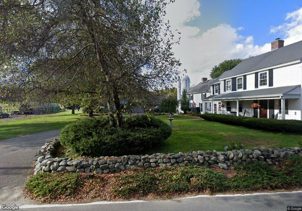
35 Wiles Rd Sterling, MA 01564
Estimated Value: $867,000 - $952,000
Studio
2
Baths
--
Sq Ft
6.37
Acres
About This Home
This home is located at 35 Wiles Rd, Sterling, MA 01564 and is currently estimated at $917,775. 35 Wiles Rd is a home located in Worcester County with nearby schools including Wachusett Regional High School and South Lancaster Academy.
Ownership History
Date
Name
Owned For
Owner Type
Purchase Details
Closed on
Aug 31, 2023
Sold by
Shack Ii Rt and Pettes
Bought by
Pettes Ft and Pettes
Current Estimated Value
Purchase Details
Closed on
Nov 14, 2011
Sold by
Pettes Eric and Pettes Stephanie
Bought by
Shack 2 Rt and Pettes
Purchase Details
Closed on
Nov 4, 2011
Sold by
Pettes Eric and Pettes Stephanie
Bought by
Shack Rt and Pettes
Purchase Details
Closed on
Apr 16, 1999
Sold by
Lavigne Geraldine L
Bought by
Pettes Eric and Pettes Stepahnie
Home Financials for this Owner
Home Financials are based on the most recent Mortgage that was taken out on this home.
Original Mortgage
$200,000
Interest Rate
7.04%
Mortgage Type
Purchase Money Mortgage
Create a Home Valuation Report for This Property
The Home Valuation Report is an in-depth analysis detailing your home's value as well as a comparison with similar homes in the area
Home Values in the Area
Average Home Value in this Area
Purchase History
| Date | Buyer | Sale Price | Title Company |
|---|---|---|---|
| Pettes Ft | -- | None Available | |
| Shack 2 Rt | -- | -- | |
| Shack Rt | -- | -- | |
| Pettes Eric | $375,000 | -- |
Source: Public Records
Mortgage History
| Date | Status | Borrower | Loan Amount |
|---|---|---|---|
| Previous Owner | Pettes Eric | $200,000 | |
| Closed | Pettes Eric | $125,000 |
Source: Public Records
Tax History Compared to Growth
Tax History
| Year | Tax Paid | Tax Assessment Tax Assessment Total Assessment is a certain percentage of the fair market value that is determined by local assessors to be the total taxable value of land and additions on the property. | Land | Improvement |
|---|---|---|---|---|
| 2025 | $10,872 | $844,100 | $164,100 | $680,000 |
| 2024 | $10,483 | $787,600 | $164,100 | $623,500 |
| 2023 | $10,167 | $711,000 | $166,500 | $544,500 |
| 2022 | $8,819 | $578,300 | $146,200 | $432,100 |
| 2021 | $8,917 | $539,800 | $143,800 | $396,000 |
| 2020 | $8,215 | $488,700 | $141,200 | $347,500 |
| 2019 | $7,861 | $455,200 | $141,200 | $314,000 |
| 2018 | $7,702 | $439,100 | $139,700 | $299,400 |
| 2017 | $8,265 | $458,400 | $134,800 | $323,600 |
| 2016 | $7,887 | $430,300 | $109,100 | $321,200 |
| 2015 | $8,384 | $484,900 | $146,300 | $338,600 |
| 2014 | $8,021 | $473,800 | $146,300 | $327,500 |
Source: Public Records
Map
Nearby Homes
- 96 Clinton Rd
- 6A Patriots Way Unit 37
- 134 Leominster Rd
- 1116 George Hill Rd
- 54 S Meadow Rd
- 0 Brockelman Rd Unit 73424117
- 17 Maple St
- 121 &125 Flanagan Hill Rd
- 17 Turtle Ln Unit 17
- 2 Turtle Ln Unit 2
- 5 Pine Woods Ln
- 15 N Cove Rd
- 0 Parker Rd
- 51 Rigby St
- 5 Catherine St
- 85 Prescott St
- 73 Prescott St
- 18 Highfield Dr
- 229 Sterling St
- 23 Bennett Ln
- 33 Wiles Rd
- 36 Wiles Rd
- 40 Wiles Rd
- 34 Wiles Rd
- 29 Wiles Rd
- 41 Wiles Rd
- 32 Wiles Rd
- 27 Wiles Rd
- 23 Wiles Rd
- 25 Wiles Rd
- 125 Clinton Rd
- 141 Clinton Rd
- 80 Redstone Hill Rd
- 95 Redstone Hill Rd
- 93 Redstone Hill Rd
- 6 Wiles Rd Unit 10
- 122 Clinton Rd
- 126 Clinton Rd
- 0 Pratts Junction Rd Unit 72229898
- 0 Pratts Junction Rd Unit 72110636