35 Wilson Rd Cumberland Center, ME 04021
West Cumberland NeighborhoodEstimated Value: $649,000 - $734,371
3
Beds
2
Baths
2,016
Sq Ft
$341/Sq Ft
Est. Value
About This Home
This home is located at 35 Wilson Rd, Cumberland Center, ME 04021 and is currently estimated at $686,843, approximately $340 per square foot. 35 Wilson Rd is a home located in Cumberland County with nearby schools including Mabel I. Wilson School, Greely Middle School 4-5, and Greely Middle School.
Ownership History
Date
Name
Owned For
Owner Type
Purchase Details
Closed on
Aug 22, 2006
Sold by
Fortin Home Const Inc
Bought by
Joy Andrew L and Joy Charlotte L
Current Estimated Value
Home Financials for this Owner
Home Financials are based on the most recent Mortgage that was taken out on this home.
Original Mortgage
$271,950
Outstanding Balance
$156,431
Interest Rate
6%
Mortgage Type
Adjustable Rate Mortgage/ARM
Estimated Equity
$530,412
Create a Home Valuation Report for This Property
The Home Valuation Report is an in-depth analysis detailing your home's value as well as a comparison with similar homes in the area
Home Values in the Area
Average Home Value in this Area
Purchase History
| Date | Buyer | Sale Price | Title Company |
|---|---|---|---|
| Joy Andrew L | -- | -- |
Source: Public Records
Mortgage History
| Date | Status | Borrower | Loan Amount |
|---|---|---|---|
| Open | Joy Andrew L | $271,950 |
Source: Public Records
Tax History Compared to Growth
Tax History
| Year | Tax Paid | Tax Assessment Tax Assessment Total Assessment is a certain percentage of the fair market value that is determined by local assessors to be the total taxable value of land and additions on the property. | Land | Improvement |
|---|---|---|---|---|
| 2024 | $10,923 | $469,800 | $109,300 | $360,500 |
| 2023 | $10,406 | $469,800 | $109,300 | $360,500 |
| 2022 | $9,947 | $469,200 | $109,300 | $359,900 |
| 2021 | $9,642 | $469,200 | $109,300 | $359,900 |
| 2020 | $9,548 | $469,200 | $109,300 | $359,900 |
| 2019 | $9,314 | $469,200 | $109,300 | $359,900 |
| 2018 | $9,243 | $469,200 | $109,300 | $359,900 |
| 2017 | $8,360 | $444,700 | $109,300 | $335,400 |
| 2016 | $6,291 | $344,700 | $109,300 | $235,400 |
| 2015 | $6,239 | $344,700 | $109,300 | $235,400 |
| 2014 | $5,998 | $344,700 | $109,300 | $235,400 |
| 2013 | $5,860 | $344,700 | $109,300 | $235,400 |
Source: Public Records
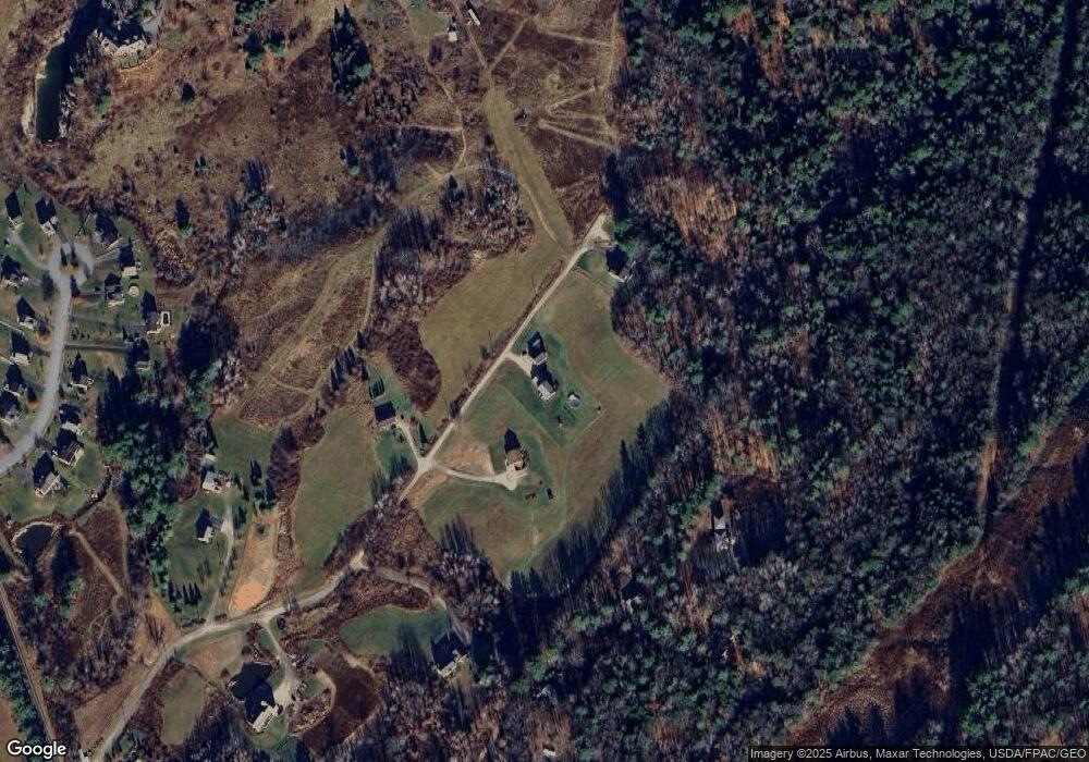
Map
Nearby Homes
- 17 Buds Trail
- 7 Preston Way
- 9 Mill Ridge Rd
- 57&57D Tinker Ln and Pointer Way
- 43 Skillin Rd
- 0 Tinker Ln Unit 57D
- 8 Feldspar Ln Unit 29
- 24 Feldspar Ln Unit 23
- 26 Feldspar Ln Unit 22
- 23 Feldspar Ln Unit 12
- 21 Feldspar Ln Unit 11
- 1 Feldspar Ln Unit 1
- 27 Feldspar Ln Unit 14
- 13 Feldspar Ln Unit 7
- 30 Feldspar Ln Unit 21
- 8 Summer Way
- 15 Feldspar Ln Unit 8
- 8 George Rd
- 11 Feldspar Ln Unit 6
- 25 Feldspar Ln Unit 13