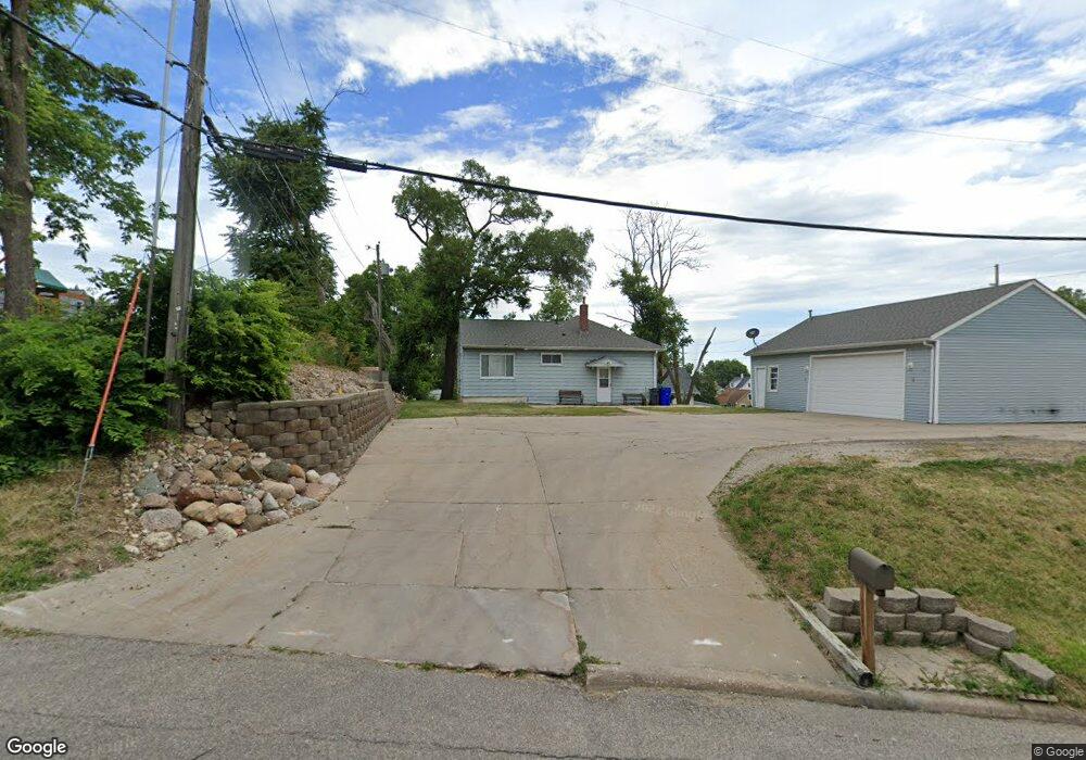
350 11th St SW Cedar Rapids, IA 52404
Taylor NeighborhoodEstimated Value: $139,000 - $160,000
3
Beds
2
Baths
1,092
Sq Ft
$137/Sq Ft
Est. Value
About This Home
This home is located at 350 11th St SW, Cedar Rapids, IA 52404 and is currently estimated at $149,730, approximately $137 per square foot. 350 11th St SW is a home located in Linn County with nearby schools including Junction City Elementary School, Cedar River Academy at Taylor Elementary School, and Bruce Hall Day Treatment Center.
Ownership History
Date
Name
Owned For
Owner Type
Purchase Details
Closed on
Jan 13, 2005
Sold by
Jp Morgan Chase Bank
Bought by
Boner David M
Current Estimated Value
Home Financials for this Owner
Home Financials are based on the most recent Mortgage that was taken out on this home.
Original Mortgage
$76,410
Outstanding Balance
$38,960
Interest Rate
5.9%
Mortgage Type
Unknown
Estimated Equity
$110,770
Purchase Details
Closed on
Apr 19, 2002
Sold by
Ollinger Keith R and Ollinger Beryl J
Bought by
Smejkal Kevin L and Smejkal Laurie
Home Financials for this Owner
Home Financials are based on the most recent Mortgage that was taken out on this home.
Original Mortgage
$76,500
Interest Rate
10.5%
Create a Home Valuation Report for This Property
The Home Valuation Report is an in-depth analysis detailing your home's value as well as a comparison with similar homes in the area
Home Values in the Area
Average Home Value in this Area
Purchase History
| Date | Buyer | Sale Price | Title Company |
|---|---|---|---|
| Boner David M | $84,500 | -- | |
| Smejkal Kevin L | $64,500 | -- |
Source: Public Records
Mortgage History
| Date | Status | Borrower | Loan Amount |
|---|---|---|---|
| Open | Boner David M | $76,410 | |
| Previous Owner | Smejkal Kevin L | $76,500 |
Source: Public Records
Tax History Compared to Growth
Tax History
| Year | Tax Paid | Tax Assessment Tax Assessment Total Assessment is a certain percentage of the fair market value that is determined by local assessors to be the total taxable value of land and additions on the property. | Land | Improvement |
|---|---|---|---|---|
| 2025 | $2,180 | $152,800 | $34,200 | $118,600 |
| 2024 | $2,256 | $136,000 | $31,100 | $104,900 |
| 2023 | $2,256 | $133,700 | $31,100 | $102,600 |
| 2022 | $2,104 | $115,800 | $26,400 | $89,400 |
| 2021 | $2,270 | $110,500 | $26,400 | $84,100 |
| 2020 | $2,270 | $111,500 | $26,400 | $85,100 |
| 2019 | $2,030 | $102,700 | $26,400 | $76,300 |
| 2018 | $1,970 | $102,700 | $26,400 | $76,300 |
| 2017 | $2,089 | $100,700 | $26,400 | $74,300 |
| 2016 | $2,089 | $98,300 | $26,400 | $71,900 |
| 2015 | $2,249 | $105,663 | $26,434 | $79,229 |
| 2014 | $2,064 | $101,927 | $25,904 | $76,023 |
| 2013 | $1,936 | $101,927 | $25,904 | $76,023 |
Source: Public Records
Map
Nearby Homes
- 1025 3rd Ave SW
- 1118 2nd Ave SW
- 531 10th St SW
- 835 10th St SW
- 1004 10th St SW
- 828 8th Ave SW
- 531 9th St SW
- 712 8th St SW
- 702 8th St SW
- 1020 A Ave NW
- 1311 Burch Ave NW
- 713 7th Ave SW
- 715 9th Ave SW
- 1424 11th St SW
- 452 8th Ave SW
- 1121 15th Ave SW
- 523 6th Ave SW
- 235 Highland Dr NW
- 1209 16th St SW
- 919 6th St SW
- 344 11th St SW
- 340 11th St SW
- 353 12th St SW
- 355 12th St SW
- 349 12th St SW
- 330 11th St SW
- 345 12th St SW
- 351 11th St SW
- 357 11th St SW
- 343 11th St SW
- 339 12th St SW
- 324 11th St SW
- 339 11th St SW
- 333 12th St SW
- 335 11th St SW
- 322 11th St SW
- 327 12th St SW
- 354 Rockford Rd SW
- 329 11th St SW
- 350 Rockford Rd SW