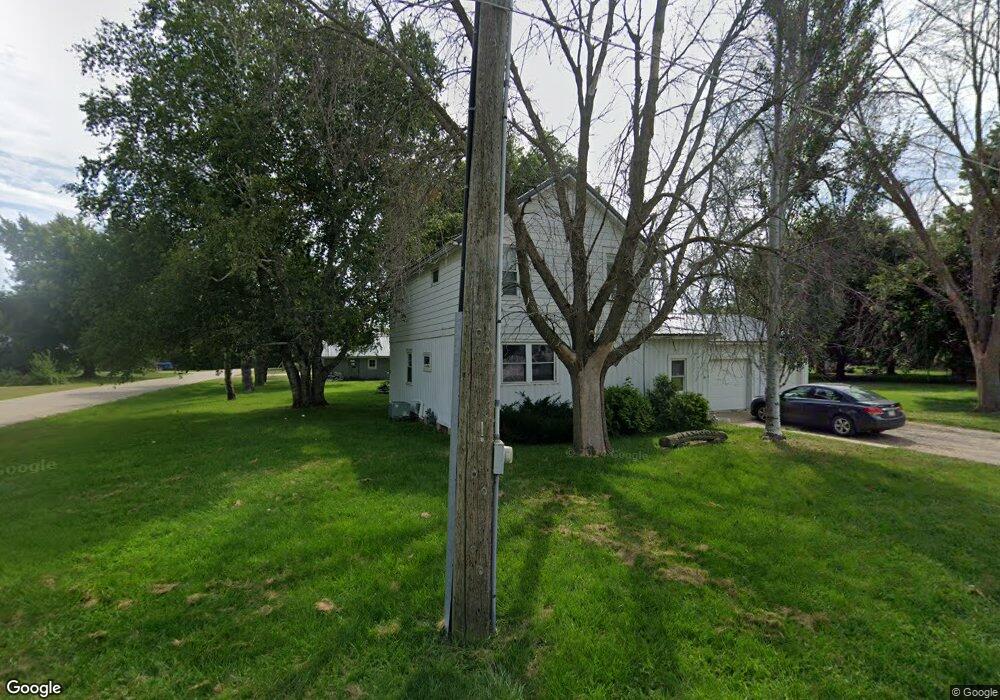
350 4th St N Maynard, IA 50655
Estimated Value: $107,000 - $143,000
4
Beds
2
Baths
1,440
Sq Ft
$89/Sq Ft
Est. Value
About This Home
This home is located at 350 4th St N, Maynard, IA 50655 and is currently estimated at $127,554, approximately $88 per square foot. 350 4th St N is a home located in Fayette County with nearby schools including West Central Community School and West Central Charter High School.
Ownership History
Date
Name
Owned For
Owner Type
Purchase Details
Closed on
Jul 11, 2013
Sold by
Carey Dennis P and Carey Roselene E
Bought by
Allwood Leslie J and Allwood Bylinda K
Current Estimated Value
Home Financials for this Owner
Home Financials are based on the most recent Mortgage that was taken out on this home.
Original Mortgage
$63,265
Outstanding Balance
$45,827
Interest Rate
3.83%
Mortgage Type
New Conventional
Estimated Equity
$81,727
Create a Home Valuation Report for This Property
The Home Valuation Report is an in-depth analysis detailing your home's value as well as a comparison with similar homes in the area
Purchase History
| Date | Buyer | Sale Price | Title Company |
|---|---|---|---|
| Allwood Leslie J | $60,000 | Security First Title Co |
Source: Public Records
Mortgage History
| Date | Status | Borrower | Loan Amount |
|---|---|---|---|
| Open | Allwood Leslie J | $63,265 |
Source: Public Records
Tax History
| Year | Tax Paid | Tax Assessment Tax Assessment Total Assessment is a certain percentage of the fair market value that is determined by local assessors to be the total taxable value of land and additions on the property. | Land | Improvement |
|---|---|---|---|---|
| 2025 | $1,222 | $90,360 | $11,880 | $78,480 |
| 2024 | $1,222 | $78,630 | $11,880 | $66,750 |
| 2023 | $1,160 | $78,630 | $11,880 | $66,750 |
| 2022 | $1,052 | $62,650 | $9,900 | $52,750 |
| 2021 | $1,052 | $62,650 | $9,900 | $52,750 |
| 2020 | $1,336 | $76,850 | $9,180 | $67,670 |
| 2019 | $1,200 | $65,730 | $0 | $0 |
| 2018 | $1,218 | $65,730 | $0 | $0 |
| 2017 | $950 | $49,250 | $0 | $0 |
| 2016 | $914 | $49,250 | $0 | $0 |
| 2015 | $914 | $0 | $0 | $0 |
| 2014 | $914 | $0 | $0 | $0 |
Source: Public Records
Map
Nearby Homes
Your Personal Tour Guide
Ask me questions while you tour the home.