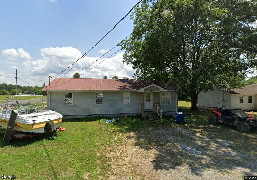
350 Ditto Cir Laceys Spring, AL 35754
Estimated Value: $111,000 - $202,000
--
Bed
1
Bath
1,152
Sq Ft
$123/Sq Ft
Est. Value
About This Home
This home is located at 350 Ditto Cir, Laceys Spring, AL 35754 and is currently estimated at $141,406, approximately $122 per square foot. 350 Ditto Cir is a home located in Marshall County with nearby schools including Brindlee Mountain Elementary School, Brindlee Mountain Primary School, and Brindlee Mt Middle School.
Ownership History
Date
Name
Owned For
Owner Type
Purchase Details
Closed on
Aug 4, 2023
Sold by
Oldacre Bradley and Oldacre Susan
Bought by
Lynn Kurt Ashlee and Lynn Keith Elledge
Current Estimated Value
Home Financials for this Owner
Home Financials are based on the most recent Mortgage that was taken out on this home.
Original Mortgage
$110,250
Outstanding Balance
$107,630
Interest Rate
6.81%
Mortgage Type
New Conventional
Estimated Equity
$33,776
Purchase Details
Closed on
Jan 7, 2022
Sold by
Hamaker Linda
Bought by
Oldacre Bradley and Oldacre Susan
Purchase Details
Closed on
Oct 2, 2014
Sold by
Cadence Bank Na
Bought by
Hamaker Linda
Purchase Details
Closed on
Dec 17, 2013
Sold by
Hamaker Danny
Bought by
Community Bank
Create a Home Valuation Report for This Property
The Home Valuation Report is an in-depth analysis detailing your home's value as well as a comparison with similar homes in the area
Home Values in the Area
Average Home Value in this Area
Purchase History
| Date | Buyer | Sale Price | Title Company |
|---|---|---|---|
| Lynn Kurt Ashlee | $105,000 | None Listed On Document | |
| Lynn Kurt Ashlee | $105,000 | None Listed On Document | |
| Oldacre Bradley | $68,000 | None Available | |
| Hamaker Linda | $59,000 | None Available | |
| Community Bank | $53,775 | None Available |
Source: Public Records
Mortgage History
| Date | Status | Borrower | Loan Amount |
|---|---|---|---|
| Open | Lynn Kurt Ashlee | $110,250 | |
| Closed | Lynn Kurt Ashlee | $110,250 |
Source: Public Records
Tax History Compared to Growth
Tax History
| Year | Tax Paid | Tax Assessment Tax Assessment Total Assessment is a certain percentage of the fair market value that is determined by local assessors to be the total taxable value of land and additions on the property. | Land | Improvement |
|---|---|---|---|---|
| 2024 | $381 | $11,040 | $0 | $0 |
| 2023 | $361 | $20,920 | $1,000 | $19,920 |
| 2022 | $655 | $17,460 | $0 | $0 |
| 2021 | $612 | $16,020 | $0 | $0 |
| 2020 | $533 | $14,200 | $0 | $0 |
| 2017 | $496 | $13,220 | $0 | $0 |
| 2015 | -- | $11,360 | $0 | $0 |
| 2014 | -- | $5,940 | $0 | $0 |
Source: Public Records
Map
Nearby Homes
- 1 Bettinger Mountain Rd
- 250 Park Rd
- 77 Park Rd
- 2112 Green Briar Cove Rd
- 588 Mount Olive Church Rd
- 10470 Union Grove Rd
- Lot 0 Huskey Mountain Rd
- 14298 Highway 231
- 174 Heather St
- 145 Dogwood Dr
- 85 Midway Rd
- 105 Vaughn Rd
- 46 Dogwood Dr
- 44 Beebe St
- 35 ACRES Pine Ridge Rd
- 115 Beebe St
- 402 Greenbriar Cove Rd
- 82 Vaughn Rd
- 26 Vaughn Rd
- 00 C Ivy Rd SE