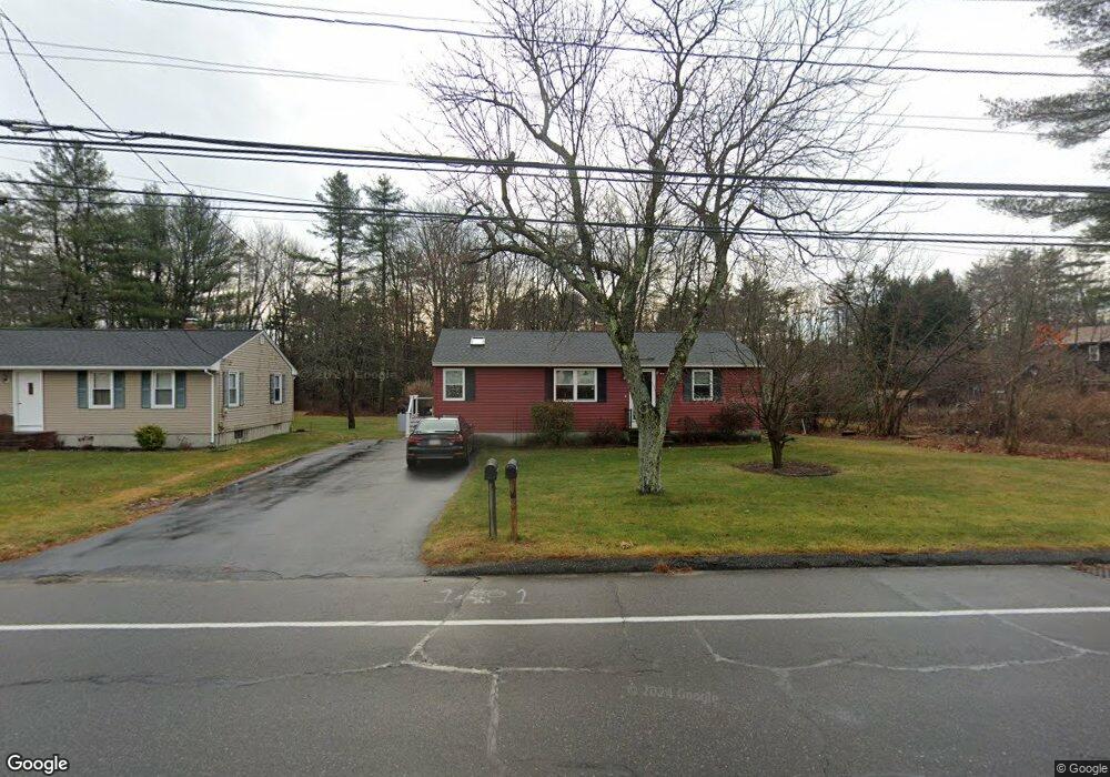
350 E Bridge St Westbrook, ME 04092
Estimated Value: $746,000 - $1,430,912
5
Beds
3
Baths
3,740
Sq Ft
$290/Sq Ft
Est. Value
About This Home
This home is located at 350 E Bridge St, Westbrook, ME 04092 and is currently estimated at $1,083,478, approximately $289 per square foot. 350 E Bridge St is a home located in Cumberland County with nearby schools including Westbrook High School, St. Brigid School, and Breakwater School.
Ownership History
Date
Name
Owned For
Owner Type
Purchase Details
Closed on
Apr 17, 2024
Sold by
Childs William H
Bought by
350 East Bridge Llc
Current Estimated Value
Home Financials for this Owner
Home Financials are based on the most recent Mortgage that was taken out on this home.
Original Mortgage
$380,000
Outstanding Balance
$373,617
Interest Rate
6.88%
Mortgage Type
Purchase Money Mortgage
Estimated Equity
$709,861
Purchase Details
Closed on
Apr 20, 2023
Sold by
Childs Betsy W
Bought by
Childs William H
Create a Home Valuation Report for This Property
The Home Valuation Report is an in-depth analysis detailing your home's value as well as a comparison with similar homes in the area
Home Values in the Area
Average Home Value in this Area
Purchase History
| Date | Buyer | Sale Price | Title Company |
|---|---|---|---|
| 350 East Bridge Llc | -- | None Available | |
| 350 East Bridge Llc | -- | None Available | |
| Childs William H | -- | None Available | |
| Childs William H | -- | None Available |
Source: Public Records
Mortgage History
| Date | Status | Borrower | Loan Amount |
|---|---|---|---|
| Open | 350 East Bridge Llc | $380,000 | |
| Closed | 350 East Bridge Llc | $380,000 |
Source: Public Records
Tax History
| Year | Tax Paid | Tax Assessment Tax Assessment Total Assessment is a certain percentage of the fair market value that is determined by local assessors to be the total taxable value of land and additions on the property. | Land | Improvement |
|---|---|---|---|---|
| 2023 | $14,381 | $862,200 | $300,800 | $561,400 |
| 2022 | $13,023 | $719,500 | $250,700 | $468,800 |
| 2021 | $12,829 | $719,500 | $250,700 | $468,800 |
| 2020 | $12,850 | $719,500 | $250,700 | $468,800 |
| 2019 | $12,850 | $719,500 | $250,700 | $468,800 |
| 2018 | $13,133 | $658,300 | $218,100 | $440,200 |
| 2017 | $12,429 | $658,300 | $218,100 | $440,200 |
| 2016 | $12,113 | $658,300 | $218,100 | $440,200 |
| 2015 | $11,823 | $658,300 | $218,100 | $440,200 |
| 2014 | $11,323 | $658,300 | $218,100 | $440,200 |
| 2013 | $11,323 | $658,300 | $218,100 | $440,200 |
Source: Public Records
Map
Nearby Homes
- 7 Kasseys Way Unit 5
- 22 Collins Place Dr Unit 4
- 7 Collins Place Unit 6
- 84 Hillside Rd
- 7 Apex Dr Unit 2
- 5 Apex Dr Unit 1
- 0 Reed St
- 3 Collins Place Unit 5
- 290 Bridgton Rd Unit 1
- Lot 15&16 Chickadee Ln
- 272 Cumberland St
- 858 Riverside St
- 315 Bridge St
- 48 Nasson Ave
- 22 Berkeley St
- 60 Euclid Ave
- 151 Brooks Edge Farm Rd Unit 68
- 169 Brook St
- Lot TBD Epping St
- 171 Brook St Unit 49
- 13 Dolley Rd Unit 13
- 21 Dolley Rd Unit 21
- 14 Dolley Rd Unit 14
- 351 E Bridge St
- 357 E Bridge St
- 365 E Bridge St
- 371 E Bridge St
- 345 E Bridge St
- 0 E Bridge St
- 375 E Bridge St
- 341 E Bridge St
- 7-9 Kasseys Way
- 337 E Bridge St
- 13-15 Kasseys Way
- 13 Kasseys Way Unit 13
- 187 Puritan Dr
- 15 Kasseys Way Unit 2
- 331 E Bridge St
- 343 E Bridge St
- 181 Puritan Dr
Your Personal Tour Guide
Ask me questions while you tour the home.