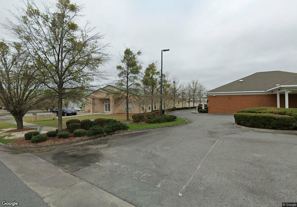
350 Enterprise Dr Valdosta, GA 31601
--
Bed
--
Bath
2,850
Sq Ft
0.56
Acres
About This Home
This home is located at 350 Enterprise Dr, Valdosta, GA 31601. 350 Enterprise Dr is a home located in Lowndes County with nearby schools including S.L. Mason Elementary School, Valdosta Middle School, and Valdosta High School.
Ownership History
Date
Name
Owned For
Owner Type
Purchase Details
Closed on
Feb 27, 2017
Sold by
Colony Bk
Bought by
B & J 350 Enterprise Llc
Home Financials for this Owner
Home Financials are based on the most recent Mortgage that was taken out on this home.
Original Mortgage
$241,863
Interest Rate
4.19%
Mortgage Type
Commercial
Purchase Details
Closed on
Feb 9, 2007
Sold by
Harris James A
Bought by
Sirrah Properties Llc
Purchase Details
Closed on
Apr 21, 1997
Bought by
Harris James A
Purchase Details
Closed on
Jan 18, 1989
Bought by
Valdosta Center
Create a Home Valuation Report for This Property
The Home Valuation Report is an in-depth analysis detailing your home's value as well as a comparison with similar homes in the area
Home Values in the Area
Average Home Value in this Area
Purchase History
| Date | Buyer | Sale Price | Title Company |
|---|---|---|---|
| B & J 350 Enterprise Llc | $300,000 | -- | |
| Sirrah Properties Llc | -- | -- | |
| Harris James A | $43,400 | -- | |
| Valdosta Center | -- | -- |
Source: Public Records
Mortgage History
| Date | Status | Borrower | Loan Amount |
|---|---|---|---|
| Closed | B & J 350 Enterprise Llc | $241,863 |
Source: Public Records
Tax History Compared to Growth
Tax History
| Year | Tax Paid | Tax Assessment Tax Assessment Total Assessment is a certain percentage of the fair market value that is determined by local assessors to be the total taxable value of land and additions on the property. | Land | Improvement |
|---|---|---|---|---|
| 2024 | $6,241 | $262,891 | $34,272 | $228,619 |
| 2023 | $6,241 | $117,099 | $34,272 | $82,827 |
| 2022 | $3,957 | $117,099 | $34,272 | $82,827 |
| 2021 | $4,201 | $120,810 | $34,272 | $86,538 |
| 2020 | $4,092 | $115,220 | $26,208 | $89,012 |
| 2019 | $4,178 | $117,693 | $26,208 | $91,485 |
| 2018 | $3,144 | $87,421 | $26,208 | $61,213 |
| 2017 | $2,832 | $78,225 | $26,208 | $52,017 |
| 2016 | $2,830 | $78,264 | $26,208 | $52,056 |
| 2015 | $2,599 | $78,304 | $26,208 | $52,096 |
| 2014 | $2,176 | $64,480 | $16,128 | $48,352 |
Source: Public Records
Map
Nearby Homes
- 211 Stella St
- 303 Nan St
- 201 Norman Dr
- 230 Saint Augustine Rd
- TBD Moss Oak Dr
- 219 N St Augustine Rd
- 1817 W Hill Ave
- 107 Jordan St
- 203 N Saint Augustine Rd
- 316 Blitch St
- 605 N Saint Augustine Rd
- 1400 Lankford Dr
- 503 Roberts St
- 2337 W Savannah Ave
- 1501 Harmon Dr
- 1202 Melissa Dr
- 1815 W Hill Ave
- 2103 W Hill Ave
- Trx 4&5 W Hill Ave
- 1690 Ridgecrest St