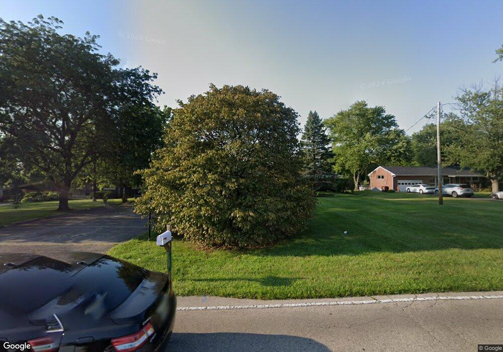
350 MacReady Ave Monroe, OH 45050
Estimated Value: $349,000 - $392,000
4
Beds
3
Baths
2,257
Sq Ft
$161/Sq Ft
Est. Value
About This Home
This home is located at 350 MacReady Ave, Monroe, OH 45050 and is currently estimated at $363,292, approximately $160 per square foot. 350 MacReady Ave is a home located in Butler County with nearby schools including Monroe Primary School, Monroe Elementary School, and Monroe Junior High School.
Ownership History
Date
Name
Owned For
Owner Type
Purchase Details
Closed on
Jan 16, 2001
Sold by
Greco Antoinette C
Bought by
Mcelfresh Russell T and Mcelfresh Christina R
Current Estimated Value
Home Financials for this Owner
Home Financials are based on the most recent Mortgage that was taken out on this home.
Original Mortgage
$125,000
Outstanding Balance
$45,752
Interest Rate
7.43%
Mortgage Type
Purchase Money Mortgage
Estimated Equity
$317,540
Purchase Details
Closed on
Mar 23, 1994
Create a Home Valuation Report for This Property
The Home Valuation Report is an in-depth analysis detailing your home's value as well as a comparison with similar homes in the area
Home Values in the Area
Average Home Value in this Area
Purchase History
| Date | Buyer | Sale Price | Title Company |
|---|---|---|---|
| Mcelfresh Russell T | $176,000 | -- | |
| -- | $139,000 | -- |
Source: Public Records
Mortgage History
| Date | Status | Borrower | Loan Amount |
|---|---|---|---|
| Open | Mcelfresh Russell T | $125,000 |
Source: Public Records
Tax History Compared to Growth
Tax History
| Year | Tax Paid | Tax Assessment Tax Assessment Total Assessment is a certain percentage of the fair market value that is determined by local assessors to be the total taxable value of land and additions on the property. | Land | Improvement |
|---|---|---|---|---|
| 2024 | $4,452 | $94,160 | $13,340 | $80,820 |
| 2023 | $4,213 | $92,670 | $13,340 | $79,330 |
| 2022 | $3,338 | $65,980 | $13,340 | $52,640 |
| 2021 | $3,229 | $65,980 | $13,340 | $52,640 |
| 2020 | $3,344 | $65,980 | $13,340 | $52,640 |
| 2019 | $3,986 | $58,140 | $12,550 | $45,590 |
| 2018 | $3,181 | $58,140 | $12,550 | $45,590 |
| 2017 | $3,248 | $58,140 | $12,550 | $45,590 |
| 2016 | $3,096 | $53,120 | $12,550 | $40,570 |
| 2015 | $3,061 | $53,120 | $12,550 | $40,570 |
| 2014 | $2,762 | $53,120 | $12,550 | $40,570 |
| 2013 | $2,762 | $48,600 | $12,550 | $36,050 |
Source: Public Records
Map
Nearby Homes
- 254 Mason Ave
- 416 Heritage Green Dr Unit 2304
- 634 Heritage Green Dr Unit 3305
- 225 Mason Ave
- 840 Heritage Green Dr Unit 4204
- 201 Moder Dr
- 32 W Elm St
- 857 Hocking Meadow Cir
- 929 Heritage Green Dr Unit 9304
- 931 Heritage Green Dr Unit 9204
- 129 Lewitt Ct
- 180 Wexford Dr
- 157 Lena Dr
- 100 N Main St
- 591 Fox Run Place
- 242 Beckwourth Dr
- 404 Brookhurst Dr
- 302 Kershaw Ct
- 63 Ridge Wood Dr
- 195 Brittony Woods Dr
- 360 MacReady Ave
- 340 MacReady Ave
- 370 MacReady Ave
- 330 MacReady Ave
- 345 MacReady Ave
- 351 MacReady Ave
- 320 MacReady Ave
- 380 MacReady Ave
- 380 MacReady Ave
- 335 MacReady Ave
- 363 MacReady Ave
- 325 MacReady Ave
- 316 MacReady Ave
- 381 MacReady Ave
- 315 MacReady Ave
- 834 Willowbrook Dr
- 832 Willowbrook Dr
- 330 Sunset Ct
- 302 MacReady Ave
- 390 MacReady Ave