350 McMurphy Rd Bristol, NH 03222
Estimated Value: $316,000 - $377,419
3
Beds
2
Baths
1,365
Sq Ft
$260/Sq Ft
Est. Value
About This Home
This home is located at 350 McMurphy Rd, Bristol, NH 03222 and is currently estimated at $355,105, approximately $260 per square foot. 350 McMurphy Rd is a home with nearby schools including Bristol Elementary School.
Ownership History
Date
Name
Owned For
Owner Type
Purchase Details
Closed on
Oct 20, 2021
Sold by
Braley Jayne T and Braley Michael R
Bought by
Braley Jayne
Current Estimated Value
Home Financials for this Owner
Home Financials are based on the most recent Mortgage that was taken out on this home.
Original Mortgage
$151,000
Outstanding Balance
$137,857
Interest Rate
2.88%
Mortgage Type
Stand Alone Refi Refinance Of Original Loan
Estimated Equity
$217,248
Create a Home Valuation Report for This Property
The Home Valuation Report is an in-depth analysis detailing your home's value as well as a comparison with similar homes in the area
Home Values in the Area
Average Home Value in this Area
Purchase History
| Date | Buyer | Sale Price | Title Company |
|---|---|---|---|
| Braley Jayne | -- | None Available | |
| Braley Jayne | -- | None Available |
Source: Public Records
Mortgage History
| Date | Status | Borrower | Loan Amount |
|---|---|---|---|
| Open | Braley Jayne | $151,000 | |
| Closed | Braley Jayne | $151,000 |
Source: Public Records
Tax History Compared to Growth
Tax History
| Year | Tax Paid | Tax Assessment Tax Assessment Total Assessment is a certain percentage of the fair market value that is determined by local assessors to be the total taxable value of land and additions on the property. | Land | Improvement |
|---|---|---|---|---|
| 2024 | $4,040 | $212,300 | $54,200 | $158,100 |
| 2023 | $3,946 | $211,600 | $54,200 | $157,400 |
| 2022 | $3,887 | $211,600 | $54,200 | $157,400 |
| 2021 | $3,982 | $211,600 | $54,200 | $157,400 |
| 2020 | $3,909 | $140,000 | $40,200 | $99,800 |
| 2019 | $3,286 | $136,700 | $40,200 | $96,500 |
| 2018 | $3,114 | $136,700 | $40,200 | $96,500 |
| 2017 | $3,441 | $136,700 | $40,200 | $96,500 |
| 2016 | $2,871 | $136,700 | $40,200 | $96,500 |
| 2015 | $3,024 | $144,000 | $49,600 | $94,400 |
| 2014 | $3,024 | $144,000 | $49,600 | $94,400 |
| 2013 | $3,040 | $143,000 | $49,600 | $93,400 |
Source: Public Records
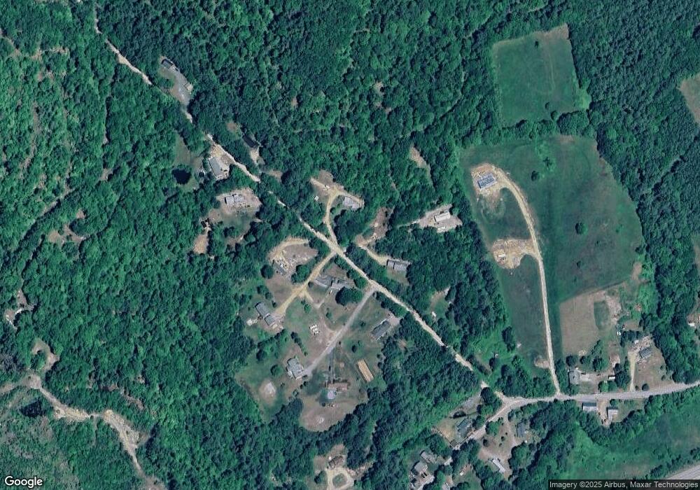
Map
Nearby Homes
- 29 Daniels Rd
- 00 Borough Rd Unit 1,2
- 135 Pleasant St
- 333 Lake St
- 30 Beech St Unit 4B
- 30 Beech St Unit 4C
- 80 Patten Rd
- 26 Don Gerry Rd
- 35 Manor Estates Dr Unit 14
- 1695 Washburn Rd
- Lot 7 Hall Rd
- 150 Peaked Hill Rd
- 20 Ward Hill Rd
- 125 Verrill Rd
- 40 Adams Rd
- 383 Wulamat Rd
- 410-090-008 Eastern District Rd
- 410-090-005 Eastern District Rd
- Lot91 Eastern District Rd
- 410-089-001 Eastern District Rd
- 95 McMurphy Rd
- 98 McMurphy Rd
- 90 McMurphy Rd
- 111 McMurphy Rd
- 73 McMurphy Rd
- 92 McMurphy Rd
- 55 McMurphy Rd
- 54 McMurphy Rd
- 97 McMurphy Rd
- 127 McMurphy Rd
- 71 McMurphy Rd
- 69 McMurphy Rd
- 138 McMurphy Rd
- 418 Karl Gordon Rd Unit Map 418 Lot 87
- LOT 4 McMurphy Rd
- LOTS 2 3 McMurphy Rd
- LOT 1 McMurphy Rd
- Lot 76 McMurphy Rd Unit 7
- Lot 76 McMurphy Rd
- 216 Karl Gordon Rd