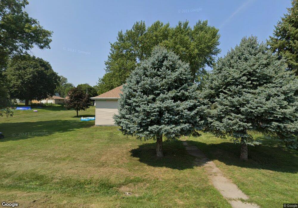
350 N Locust St Carson, IA 51525
Estimated Value: $161,000 - $188,189
3
Beds
2
Baths
1,280
Sq Ft
$138/Sq Ft
Est. Value
About This Home
This home is located at 350 N Locust St, Carson, IA 51525 and is currently estimated at $177,047, approximately $138 per square foot. 350 N Locust St is a home located in Pottawattamie County with nearby schools including Riverside Elementary School, Carson Elementary School, and Riverside Community High School.
Ownership History
Date
Name
Owned For
Owner Type
Purchase Details
Closed on
Mar 6, 2009
Sold by
Harrill Porter A and Harrill Darla J
Bought by
Gordon Chad E and Gordon Angela L
Current Estimated Value
Home Financials for this Owner
Home Financials are based on the most recent Mortgage that was taken out on this home.
Original Mortgage
$94,831
Interest Rate
5.05%
Mortgage Type
FHA
Create a Home Valuation Report for This Property
The Home Valuation Report is an in-depth analysis detailing your home's value as well as a comparison with similar homes in the area
Home Values in the Area
Average Home Value in this Area
Purchase History
| Date | Buyer | Sale Price | Title Company |
|---|---|---|---|
| Gordon Chad E | $70,000 | Midwest Title |
Source: Public Records
Mortgage History
| Date | Status | Borrower | Loan Amount |
|---|---|---|---|
| Previous Owner | Gordon Chad E | $94,831 |
Source: Public Records
Tax History Compared to Growth
Tax History
| Year | Tax Paid | Tax Assessment Tax Assessment Total Assessment is a certain percentage of the fair market value that is determined by local assessors to be the total taxable value of land and additions on the property. | Land | Improvement |
|---|---|---|---|---|
| 2025 | $1,932 | $147,500 | $24,500 | $123,000 |
| 2024 | $1,932 | $127,000 | $21,300 | $105,700 |
| 2023 | $1,958 | $127,000 | $21,300 | $105,700 |
| 2022 | $1,488 | $87,300 | $17,400 | $69,900 |
| 2021 | $2,278 | $87,300 | $17,400 | $69,900 |
| 2020 | $1,370 | $87,300 | $17,400 | $69,900 |
| 2019 | $1,436 | $75,267 | $8,543 | $66,724 |
| 2018 | $1,388 | $75,267 | $8,543 | $66,724 |
| 2017 | $1,388 | $75,267 | $8,543 | $66,724 |
| 2015 | $1,438 | $75,267 | $8,543 | $66,724 |
| 2014 | $1,436 | $75,267 | $8,543 | $66,724 |
Source: Public Records
Map
Nearby Homes
- 220 N Locust St
- 126 N Oak St
- Lot 11 Tibbles Addition St
- Lot 22 Tibbles Addition St
- Lot 18 Tibbles Addition St
- Lot 20 Tibbles Addition St
- Lot 21 Tibbles Addition St
- Lot 5 Tibbles Addition St
- 513 Washington St
- 549 Washington St
- 11 Lot Tibbles Addition
- 21 Lot Tibbles Addition St
- 18 Lot Tibbles Addition St
- LOT 12 Grace St
- 39612 Iowa 92
- 22 Lot Tibbles Addition St
- 5 Tibbles Addition St
- 0000 Cottonwood Rd
- 20 Lot Tibbles Addition St
- 124 Schueman Cul de Sac
- 338 N Locust St
- 343 N Locust St
- 351 N Central St
- 345 N Central St
- 339 N Central St
- 330 N Locust St
- 335 N Central St
- 331 N Locust St
- 327 N Central St
- 320 N Locust St
- 323 N Central St
- 323 North St
- 208 North St
- 315 N Central St
- 334 N Central St
- 350 N Central St
- 344 N Central St
- 310 N Locust St
- 309 N Central St
- 340 N Central St