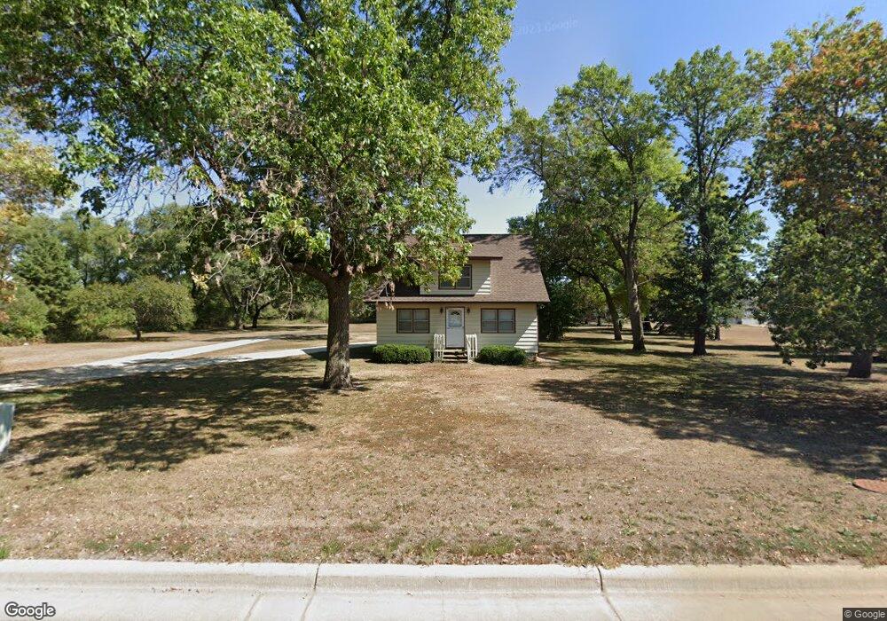
3500 4th St NE Austin, MN 55912
Estimated Value: $176,000 - $223,926
2
Beds
1
Bath
1,687
Sq Ft
$122/Sq Ft
Est. Value
About This Home
This home is located at 3500 4th St NE, Austin, MN 55912 and is currently estimated at $205,732, approximately $121 per square foot. 3500 4th St NE is a home with nearby schools including Sumner Elementary School, Ellis Middle School, and I.J. Holton Intermediate School.
Ownership History
Date
Name
Owned For
Owner Type
Purchase Details
Closed on
Jan 3, 2006
Sold by
Wiese Marie P
Bought by
Wiese Timothy E
Current Estimated Value
Home Financials for this Owner
Home Financials are based on the most recent Mortgage that was taken out on this home.
Original Mortgage
$117,000
Outstanding Balance
$66,577
Interest Rate
6.48%
Mortgage Type
New Conventional
Estimated Equity
$139,155
Create a Home Valuation Report for This Property
The Home Valuation Report is an in-depth analysis detailing your home's value as well as a comparison with similar homes in the area
Home Values in the Area
Average Home Value in this Area
Purchase History
| Date | Buyer | Sale Price | Title Company |
|---|---|---|---|
| Wiese Timothy E | $130,000 | None Available |
Source: Public Records
Mortgage History
| Date | Status | Borrower | Loan Amount |
|---|---|---|---|
| Open | Wiese Timothy E | $117,000 |
Source: Public Records
Tax History Compared to Growth
Tax History
| Year | Tax Paid | Tax Assessment Tax Assessment Total Assessment is a certain percentage of the fair market value that is determined by local assessors to be the total taxable value of land and additions on the property. | Land | Improvement |
|---|---|---|---|---|
| 2025 | $3,138 | $184,200 | $67,300 | $116,900 |
| 2024 | $3,138 | $175,900 | $67,300 | $108,600 |
| 2023 | $3,196 | $167,600 | $67,300 | $100,300 |
| 2022 | $3,312 | $166,800 | $67,300 | $99,500 |
| 2021 | $3,348 | $160,500 | $67,300 | $93,200 |
| 2020 | $3,354 | $156,100 | $67,300 | $88,800 |
| 2018 | $1,459 | $148,300 | $67,300 | $81,000 |
| 2017 | $2,918 | $0 | $0 | $0 |
| 2016 | $2,716 | $0 | $0 | $0 |
| 2015 | $3,238 | $0 | $0 | $0 |
| 2012 | $3,238 | $0 | $0 | $0 |
Source: Public Records
Map
Nearby Homes
- TBD 30th Ave NE
- 211 Clinton St
- 1907 Oak Tree Ln Unit C
- 1200 18th Ave NW Unit 111
- 1200 18th Ave NW Unit 137
- 1400 18th Ave NW
- 904 14th Ave NE
- 1401 7th St NW
- 1100 5th St NW
- 705 11th Ave NW
- 605 10th Ave NW
- 24826 560th Ave
- 1306 18th Dr NE
- 1100 9th St NW
- 1009 9th St NW
- 1403 11th Ave NW
- 1309 18th St NE
- 1802 10th Place NE
- 1008 8th Ave NW
- 1010 8th Ave NW
- 24153 540th Ave
- 24137 540th Ave
- 24167 540th Ave
- 3403 6th St NE
- 24109 540th Ave
- 24087 540th Ave
- TBD 542nd Ave
- 501 32nd Ave NE
- 24067 540th Ave
- 503 32nd Ave NE
- 3301 6th St NE
- 24051 540th Ave
- TBD 243 St
- 54051 241st St
- 54051 241st St
- xx 542nd Ave
- 502 32nd Ave NE
- 500 32nd Ave NE
- 24001 540th Ave
- 3400 6th St NE