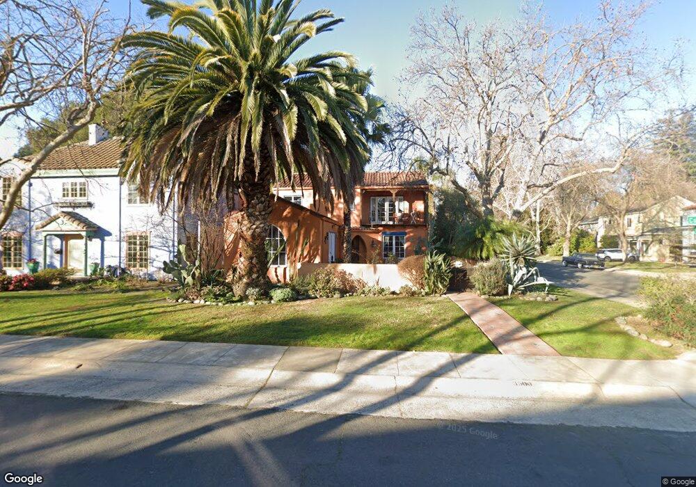
3500 Cutter Way Sacramento, CA 95818
Curtis Park NeighborhoodEstimated Value: $775,000 - $1,437,000
4
Beds
3
Baths
2,998
Sq Ft
$374/Sq Ft
Est. Value
About This Home
This home is located at 3500 Cutter Way, Sacramento, CA 95818 and is currently estimated at $1,122,523, approximately $374 per square foot. 3500 Cutter Way is a home located in Sacramento County with nearby schools including Bret Harte Elementary School, California Middle, and C. K. McClatchy High.
Ownership History
Date
Name
Owned For
Owner Type
Purchase Details
Closed on
Oct 1, 2018
Sold by
Johnson Debra and Gutierrez Johnson Family Trust
Bought by
Johnson Debra and Gutierrezljohnson Family Trust
Current Estimated Value
Home Financials for this Owner
Home Financials are based on the most recent Mortgage that was taken out on this home.
Original Mortgage
$723,750
Interest Rate
3.75%
Mortgage Type
Adjustable Rate Mortgage/ARM
Purchase Details
Closed on
Jul 15, 1998
Sold by
Johnson Gutierrez Mario and Johnson Debra
Bought by
Gutierrez Mario F and Johnson Debra
Create a Home Valuation Report for This Property
The Home Valuation Report is an in-depth analysis detailing your home's value as well as a comparison with similar homes in the area
Home Values in the Area
Average Home Value in this Area
Purchase History
| Date | Buyer | Sale Price | Title Company |
|---|---|---|---|
| Johnson Debra | -- | Fidelity National Title Comp | |
| Gutierrez Mario F | -- | -- |
Source: Public Records
Mortgage History
| Date | Status | Borrower | Loan Amount |
|---|---|---|---|
| Closed | Johnson Debra | $723,750 |
Source: Public Records
Tax History Compared to Growth
Tax History
| Year | Tax Paid | Tax Assessment Tax Assessment Total Assessment is a certain percentage of the fair market value that is determined by local assessors to be the total taxable value of land and additions on the property. | Land | Improvement |
|---|---|---|---|---|
| 2025 | $10,038 | $856,499 | $294,356 | $562,143 |
| 2024 | $10,038 | $839,706 | $288,585 | $551,121 |
| 2023 | $9,802 | $823,242 | $282,927 | $540,315 |
| 2022 | $9,638 | $807,101 | $277,380 | $529,721 |
| 2021 | $9,182 | $791,277 | $271,942 | $519,335 |
| 2020 | $9,260 | $783,164 | $269,154 | $514,010 |
| 2019 | $9,062 | $767,809 | $263,877 | $503,932 |
| 2018 | $8,827 | $752,754 | $258,703 | $494,051 |
| 2017 | $8,707 | $737,995 | $253,631 | $484,364 |
| 2016 | $8,492 | $723,525 | $248,658 | $474,867 |
| 2015 | $8,340 | $712,658 | $244,923 | $467,735 |
| 2014 | $8,110 | $698,699 | $240,126 | $458,573 |
Source: Public Records
Map
Nearby Homes
- 2763 Coleman Way
- 3235 Franklin Blvd
- 2716 6th Ave
- 3661 24th St
- 3533 Crocker Dr
- 3225 11th Ave
- 2724 Curtis Way
- 3225 12th Ave
- 3289 Ronald Reagan Way
- 3957 28th St
- 3440 33rd St
- 2363 Omaha Beach Ave
- 3230 Crocker Dr
- 3624 34th St
- 2360 Jay King Walk
- 3401 12th Ave
- 4205 Arlington Ave
- 2449 Donner Way
- 2601 5th Ave
- 2352 Bronze Star Way
- 3510 Cutter Way
- 3520 Cutter Way
- 3501 E Curtis Dr
- 3511 E Curtis Dr
- 3501 Cutter Way
- 2657 10th Ave
- 2649 10th Ave
- 2665 10th Ave
- 3521 E Curtis Dr
- 2633 10th Ave
- 3530 Cutter Way
- 2673 10th Ave
- 3421 E Curtis Dr
- 3531 E Curtis Dr
- 2667 11th Ave
- 3540 Cutter Way
- 2681 10th Ave
- 2656 9th Ave
- 2700 10th Ave
- 2648 9th Ave