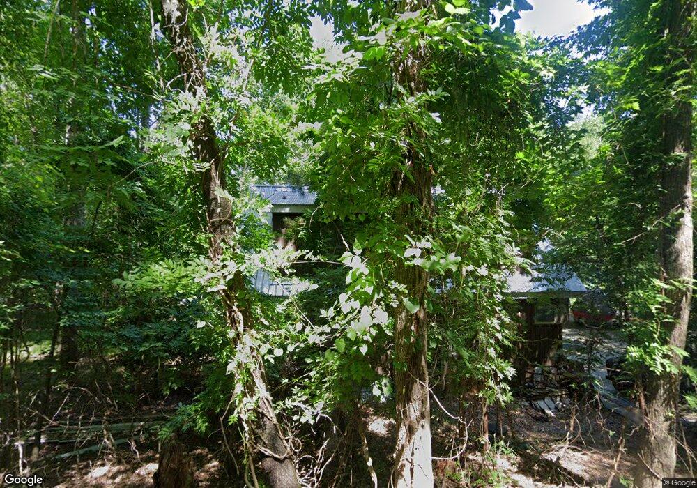
3500 Fork Rd Gainesville, GA 30506
Estimated Value: $750,904 - $1,469,000
4
Beds
7
Baths
2,853
Sq Ft
$337/Sq Ft
Est. Value
About This Home
This home is located at 3500 Fork Rd, Gainesville, GA 30506 and is currently estimated at $961,476, approximately $337 per square foot. 3500 Fork Rd is a home located in Hall County with nearby schools including Sardis Elementary School, Chestatee Middle School, and Chestatee High School.
Ownership History
Date
Name
Owned For
Owner Type
Purchase Details
Closed on
Mar 3, 2004
Sold by
Spruill Kenneth and Spruill Gloria W
Bought by
Spruill David K
Current Estimated Value
Create a Home Valuation Report for This Property
The Home Valuation Report is an in-depth analysis detailing your home's value as well as a comparison with similar homes in the area
Home Values in the Area
Average Home Value in this Area
Purchase History
| Date | Buyer | Sale Price | Title Company |
|---|---|---|---|
| Spruill David K | -- | -- |
Source: Public Records
Tax History
| Year | Tax Paid | Tax Assessment Tax Assessment Total Assessment is a certain percentage of the fair market value that is determined by local assessors to be the total taxable value of land and additions on the property. | Land | Improvement |
|---|---|---|---|---|
| 2025 | $5,850 | $281,320 | $61,480 | $219,840 |
| 2024 | $6,227 | $251,280 | $50,080 | $201,200 |
| 2023 | $5,627 | $242,840 | $50,080 | $192,760 |
| 2022 | $5,463 | $211,400 | $50,080 | $161,320 |
| 2021 | $5,486 | $208,400 | $50,080 | $158,320 |
| 2020 | $4,679 | $172,560 | $20,000 | $152,560 |
| 2019 | $4,485 | $163,920 | $20,000 | $143,920 |
| 2018 | $4,399 | $155,600 | $17,560 | $138,040 |
| 2017 | $3,371 | $120,360 | $17,560 | $102,800 |
| 2016 | $3,290 | $120,360 | $17,560 | $102,800 |
| 2015 | $3,131 | $120,360 | $17,560 | $102,800 |
| 2014 | $3,131 | $225,000 | $64,120 | $160,880 |
Source: Public Records
Map
Nearby Homes
- 3442 Jet Wright Rd
- 3545 Cub Cir
- 3443 Dockside Shores Dr
- 3514 Dockside Shores Dr
- 3535 Cameron Cir
- 3416 Rock Ridge Dr
- 3715 Cameron Cir
- 3394 Robinson Rd
- 3551 Dockside Shores Dr
- 3319 Russell Dr
- 3550 Dockside Shores Dr
- 2237 Lake Ranch Ct
- 3641 Bert Dr
- 3645 Bert Dr
- 2231 Lake Ranch Ct
- 1 Yellow Creek
- 0 Bethel Rd (296 128 & 296 132) Rd Unit 7681499
- 0 Bethel Rd (296 128 & 296 132) Rd Unit 10643984
- 2218 Huntingdon Ct
- 3063 Ivey Rd
- 3530 Fork Rd
- 3530 Point View Cir
- 3434 Jet Wright Rd
- 3458 Jet Wright Rd
- 3424 Jet-Wright Rd
- 3489 Fork Rd Unit 14,15,16
- 3489 Fork Rd
- 3511 Point View Cir
- 3457 Jet Wright Rd
- 3465 Jet Wright Rd
- 3515 Point View Cir
- 3534 Point View Cir
- 3481 Fork Rd
- 3453 Jet Wright Rd
- 3538 Point View Cir
- 3519 Point View Cir
- 3531 Point View Cir
- 3464 Fork Rd
- 3523 Point View Cir
- 3527 Point View Cir
Your Personal Tour Guide
Ask me questions while you tour the home.
