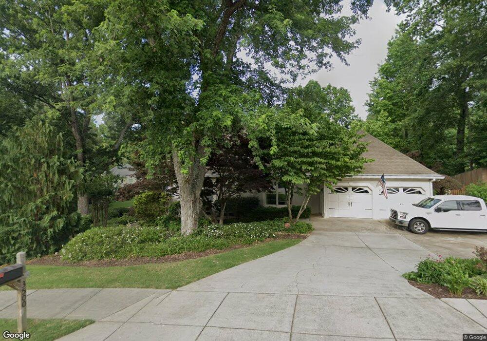
3500 Lone Indian Way Unit 2 Marietta, GA 30066
Sandy Plains NeighborhoodEstimated Value: $606,000 - $847,000
3
Beds
4
Baths
3,272
Sq Ft
$219/Sq Ft
Est. Value
About This Home
This home is located at 3500 Lone Indian Way Unit 2, Marietta, GA 30066 and is currently estimated at $715,331, approximately $218 per square foot. 3500 Lone Indian Way Unit 2 is a home located in Cobb County with nearby schools including Davis Elementary School, Mabry Middle School, and Lassiter High School.
Ownership History
Date
Name
Owned For
Owner Type
Purchase Details
Closed on
May 31, 2001
Sold by
Bridges Robert M and Bridges Laurie O
Bought by
Greene Donald L and Greene Sherry A
Current Estimated Value
Home Financials for this Owner
Home Financials are based on the most recent Mortgage that was taken out on this home.
Original Mortgage
$250,000
Outstanding Balance
$93,557
Interest Rate
7.06%
Mortgage Type
New Conventional
Estimated Equity
$621,774
Purchase Details
Closed on
Oct 4, 1994
Sold by
Brand Jerry R Kelly
Bought by
Bridges Robert M Laurie O
Home Financials for this Owner
Home Financials are based on the most recent Mortgage that was taken out on this home.
Original Mortgage
$207,900
Interest Rate
6.87%
Create a Home Valuation Report for This Property
The Home Valuation Report is an in-depth analysis detailing your home's value as well as a comparison with similar homes in the area
Home Values in the Area
Average Home Value in this Area
Purchase History
| Date | Buyer | Sale Price | Title Company |
|---|---|---|---|
| Greene Donald L | $329,000 | -- | |
| Bridges Robert M Laurie O | $231,000 | -- |
Source: Public Records
Mortgage History
| Date | Status | Borrower | Loan Amount |
|---|---|---|---|
| Open | Greene Donald L | $250,000 | |
| Previous Owner | Bridges Robert M Laurie O | $207,900 |
Source: Public Records
Tax History Compared to Growth
Tax History
| Year | Tax Paid | Tax Assessment Tax Assessment Total Assessment is a certain percentage of the fair market value that is determined by local assessors to be the total taxable value of land and additions on the property. | Land | Improvement |
|---|---|---|---|---|
| 2025 | $1,587 | $248,204 | $60,000 | $188,204 |
| 2024 | $1,591 | $248,204 | $60,000 | $188,204 |
| 2023 | $5,503 | $248,204 | $60,000 | $188,204 |
| 2022 | $5,249 | $209,604 | $40,000 | $169,604 |
| 2021 | $4,646 | $182,080 | $40,000 | $142,080 |
| 2020 | $4,646 | $182,080 | $40,000 | $142,080 |
| 2019 | $4,646 | $182,080 | $40,000 | $142,080 |
| 2018 | $4,159 | $159,832 | $36,800 | $123,032 |
| 2017 | $4,004 | $159,832 | $36,800 | $123,032 |
| 2016 | $3,475 | $135,576 | $31,600 | $103,976 |
| 2015 | $3,554 | $135,576 | $31,600 | $103,976 |
| 2014 | $3,581 | $135,576 | $0 | $0 |
Source: Public Records
Map
Nearby Homes
- 4243 N Mountain Rd NE
- 4302 Highborne Dr NE Unit 3
- 4734 Outlook Way NE
- 4380 Wood Creek Dr
- 3333 Devaughn Dr NE
- 4563 Ashmore Cir NE
- 4397 Windsor Oaks Cir
- 3350 Brookhill Cir
- 3043 Sawyer Trace NE
- 4589 Wigley Estates Rd
- 3465 Township Ridge Point
- 3870 Sweat Creek Run
- 2855 Lamer Trace
- 130 Cherecobb Dr
- 3480 Pebble Hill Dr
- 4032 Ashmont Ct
- 4019 Wesley Chapel Rd
- 2842 Forest Chase Dr NE
- 3510 Lone Indian Way
- 4255 N Mountain Rd NE
- 3629 Lone Indian Trail Unit 2
- 3624 Lone Indian Trail Unit 2
- 4257 N Mountain Rd NE Unit 1
- 3520 Lone Indian Way Unit 2
- 3511 Lone Indian Way
- 4253 N Mountain Rd NE
- 4259 N Mountain Rd NE
- 3635 Lone Indian Trail
- 3628 Lone Indian Trail
- 3521 Lone Indian Way
- 4251 N Mountain Rd NE
- 3630 Lone Indian Trail
- 4250 N Mountain Rd NE
- 3530 Lone Indian Way Unit 2
- 3637 Lone Indian Trail
- 4261 N Mountain Rd NE Unit 307
- 4261 N Mountain Rd NE
- 4248 N Mountain Rd NE