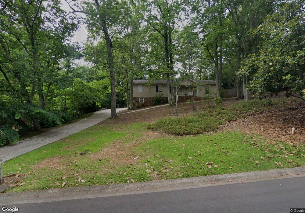
3501 Brookhill Cir Unit 1 Marietta, GA 30062
East Cobb NeighborhoodEstimated Value: $411,000 - $444,000
3
Beds
2
Baths
1,576
Sq Ft
$272/Sq Ft
Est. Value
About This Home
This home is located at 3501 Brookhill Cir Unit 1, Marietta, GA 30062 and is currently estimated at $429,183, approximately $272 per square foot. 3501 Brookhill Cir Unit 1 is a home located in Cobb County with nearby schools including Garrison Mill Elementary School, Mabry Middle School, and Lassiter High School.
Ownership History
Date
Name
Owned For
Owner Type
Purchase Details
Closed on
Nov 30, 2006
Sold by
Descalopoulis Larry C
Bought by
Magas June G and Magas Mary E
Current Estimated Value
Home Financials for this Owner
Home Financials are based on the most recent Mortgage that was taken out on this home.
Original Mortgage
$177,750
Outstanding Balance
$106,025
Interest Rate
6.36%
Mortgage Type
New Conventional
Estimated Equity
$323,158
Create a Home Valuation Report for This Property
The Home Valuation Report is an in-depth analysis detailing your home's value as well as a comparison with similar homes in the area
Home Values in the Area
Average Home Value in this Area
Purchase History
| Date | Buyer | Sale Price | Title Company |
|---|---|---|---|
| Magas June G | $197,500 | -- |
Source: Public Records
Mortgage History
| Date | Status | Borrower | Loan Amount |
|---|---|---|---|
| Open | Magas June G | $177,750 |
Source: Public Records
Tax History Compared to Growth
Tax History
| Year | Tax Paid | Tax Assessment Tax Assessment Total Assessment is a certain percentage of the fair market value that is determined by local assessors to be the total taxable value of land and additions on the property. | Land | Improvement |
|---|---|---|---|---|
| 2025 | $1,513 | $139,804 | $34,000 | $105,804 |
| 2024 | $1,516 | $139,804 | $34,000 | $105,804 |
| 2023 | $4,297 | $142,512 | $28,000 | $114,512 |
| 2022 | $4,325 | $142,512 | $28,000 | $114,512 |
| 2021 | $3,291 | $108,444 | $24,000 | $84,444 |
| 2020 | $2,927 | $96,444 | $24,000 | $72,444 |
| 2019 | $2,927 | $96,444 | $24,000 | $72,444 |
| 2018 | $2,527 | $83,256 | $22,000 | $61,256 |
| 2017 | $2,394 | $83,256 | $22,000 | $61,256 |
| 2016 | $1,898 | $66,012 | $24,000 | $42,012 |
| 2015 | $1,674 | $56,816 | $18,000 | $38,816 |
| 2014 | $1,688 | $56,816 | $0 | $0 |
Source: Public Records
Map
Nearby Homes
- 4219 N Mountain Rd NE
- 4302 Highborne Dr NE Unit 3
- 3350 Brookhill Cir
- 3480 Pebble Hill Dr
- 4032 Ashmont Ct
- 4243 N Mountain Rd NE
- 3333 Devaughn Dr NE
- 4380 Wood Creek Dr
- 3851 Timber Hollow Way
- 3870 Sweat Creek Run
- 4397 Windsor Oaks Cir
- 3130 Maley Ct
- 3773 Rivaridge Dr
- 3238 Mountain Hollow Dr
- 4019 Wesley Chapel Rd
- 3741 Northpoint Dr
- 3491 Brookhill Cir
- 4200 Arley Ct
- 3511 Brookhill Cir
- 3481 Brookhill Cir
- 3510 Brookhill Cir
- 4210 Arley Ct
- 4253 Creek Haven Dr
- 3500 Brookhill Cir
- 4251 Creek Haven Dr
- 3520 Brookhill Cir
- 3490 Brookhill Cir
- 4205 Arley Ct
- 3471 Brookhill Cir
- 4220 Arley Ct
- 4255 Creek Haven Dr
- 3480 Brookhill Cir
- 4252 Creek Haven Dr
- 4252 Creek Haven Dr Unit 9
- 3531 Brookhill Cir
- 4215 Arley Ct