Estimated Value: $363,000 - $682,846
3
Beds
3
Baths
2,831
Sq Ft
$167/Sq Ft
Est. Value
About This Home
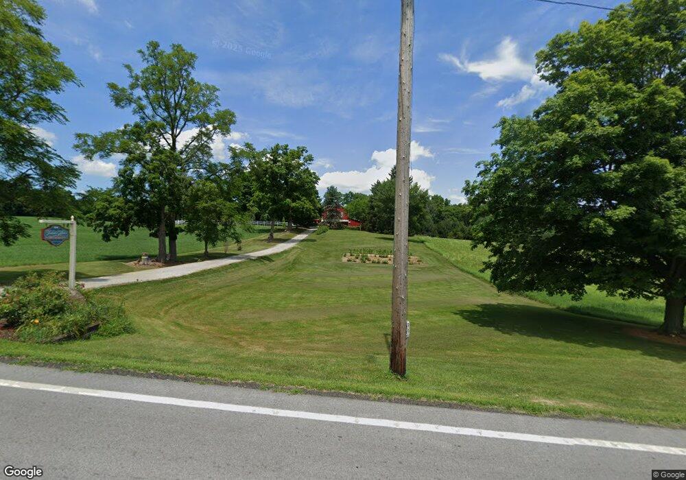
This home is located at 3501 State Route 39, Lucas, OH 44843 and is currently estimated at $473,615, approximately $167 per square foot. 3501 State Route 39 is a home with nearby schools including Lucas Elementary School, Lucas Heritage Middle School, and Lucas High School.
Ownership History
Date
Name
Owned For
Owner Type
Purchase Details
Closed on
May 25, 2023
Sold by
Culler David H
Bought by
Dcf34 Llc
Current Estimated Value
Home Financials for this Owner
Home Financials are based on the most recent Mortgage that was taken out on this home.
Original Mortgage
$294,000
Outstanding Balance
$285,211
Interest Rate
5.99%
Mortgage Type
Construction
Estimated Equity
$188,404
Purchase Details
Closed on
Apr 30, 2019
Sold by
Culler David H and Culler Darlene Diane
Bought by
Culler David H
Create a Home Valuation Report for This Property
The Home Valuation Report is an in-depth analysis detailing your home's value as well as a comparison with similar homes in the area
Home Values in the Area
Average Home Value in this Area
Purchase History
| Date | Buyer | Sale Price | Title Company |
|---|---|---|---|
| Dcf34 Llc | -- | Southern Title | |
| Culler David H | -- | None Available |
Source: Public Records
Mortgage History
| Date | Status | Borrower | Loan Amount |
|---|---|---|---|
| Open | Dcf34 Llc | $294,000 |
Source: Public Records
Tax History Compared to Growth
Tax History
| Year | Tax Paid | Tax Assessment Tax Assessment Total Assessment is a certain percentage of the fair market value that is determined by local assessors to be the total taxable value of land and additions on the property. | Land | Improvement |
|---|---|---|---|---|
| 2024 | $2,373 | $153,840 | $73,400 | $80,440 |
| 2023 | $4,520 | $152,140 | $73,400 | $78,740 |
| 2022 | $3,655 | $112,900 | $51,740 | $61,160 |
| 2021 | $3,662 | $112,900 | $51,740 | $61,160 |
| 2020 | $3,722 | $112,900 | $51,740 | $61,160 |
| 2019 | $3,891 | $97,770 | $43,120 | $54,650 |
| 2018 | $3,032 | $79,630 | $43,120 | $36,510 |
| 2017 | $3,340 | $79,630 | $43,120 | $36,510 |
| 2016 | $3,626 | $74,870 | $35,950 | $38,920 |
| 2015 | $3,626 | $74,870 | $35,950 | $38,920 |
| 2014 | $3,643 | $74,870 | $35,950 | $38,920 |
| 2012 | $1,437 | $68,880 | $29,960 | $38,920 |
Source: Public Records
Map
Nearby Homes
- 0 Mount Zion Rd Unit 9069748
- 0 Applegate Rd
- 2428 Applegate Rd
- 27 E Main St
- 0 Moffett Rd
- 174 W Main St
- 2905 Tucker Rd
- 3261 Moffett Rd
- 0 Peterson Rd
- 1679 Pulver Rd
- 2750 Lutz Ave
- 3386 Trumpower Rd
- 68.40 Acres Trumpower Rd
- 0 Trumpower Rd
- 2221 Pleasant Valley Rd
- 1048 Township Road 2156
- 0 State Route 39 & I-71 Northeast Quadrant
- 968 Township Road 2506
- 0 State Route 39 & I-71 Southeast Quadrant
- 0 Tucker Rd
- 4214 Mount Zion Rd
- 4261 Mount Zion Rd
- 4265 Mount Zion Rd
- 3627 State Route 39
- 3502 State Route 39
- 3635 State Route 39
- 3643 State Route 39
- 3643 Ohio 39
- 4201 Mount Zion Rd
- 3649 State Route 39
- 4161 Mount Zion Rd
- 3665 State Route 39
- 4183 Mount Zion Rd
- 4137 Mount Zion Rd
- 4113 Mount Zion Rd
- 1744 State Route 603
- 1726 State Route 603
- 1692 Ohio 603
- 1692 State Route 603
- 1694 Ohio 603