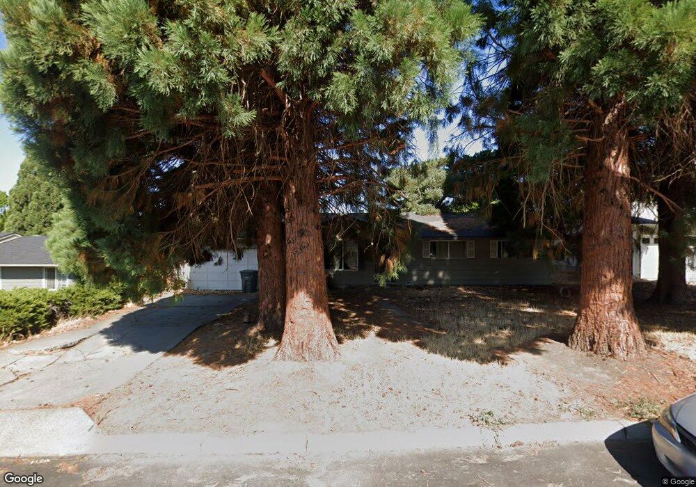
3503 Crest Ct E the Dalles, OR 97058
Estimated Value: $382,113 - $450,000
3
Beds
2
Baths
1,586
Sq Ft
$262/Sq Ft
Est. Value
About This Home
This home is located at 3503 Crest Ct E, the Dalles, OR 97058 and is currently estimated at $416,057, approximately $262 per square foot. 3503 Crest Ct E is a home located in Wasco County with nearby schools including Dry Hollow Elementary School, The Dalles Middle School, and The Dalles High School.
Ownership History
Date
Name
Owned For
Owner Type
Purchase Details
Closed on
Apr 12, 2005
Sold by
Prudential Relocation Inc
Bought by
Clack Donald A
Current Estimated Value
Home Financials for this Owner
Home Financials are based on the most recent Mortgage that was taken out on this home.
Original Mortgage
$114,000
Outstanding Balance
$56,989
Interest Rate
5.5%
Mortgage Type
Adjustable Rate Mortgage/ARM
Estimated Equity
$359,068
Create a Home Valuation Report for This Property
The Home Valuation Report is an in-depth analysis detailing your home's value as well as a comparison with similar homes in the area
Purchase History
| Date | Buyer | Sale Price | Title Company |
|---|---|---|---|
| Clack Donald A | $142,500 | -- |
Source: Public Records
Mortgage History
| Date | Status | Borrower | Loan Amount |
|---|---|---|---|
| Open | Clack Donald A | $114,000 |
Source: Public Records
Tax History
| Year | Tax Paid | Tax Assessment Tax Assessment Total Assessment is a certain percentage of the fair market value that is determined by local assessors to be the total taxable value of land and additions on the property. | Land | Improvement |
|---|---|---|---|---|
| 2025 | $3,196 | $177,869 | -- | -- |
| 2024 | $3,108 | $172,689 | -- | -- |
| 2023 | $3,018 | $167,660 | $0 | $0 |
| 2022 | $2,951 | $288,434 | $0 | $0 |
| 2021 | $2,860 | $280,033 | $0 | $0 |
| 2020 | $2,789 | $271,877 | $0 | $0 |
| 2019 | $2,946 | $263,958 | $0 | $0 |
| 2018 | $2,864 | $144,625 | $0 | $0 |
| 2017 | $2,747 | $140,413 | $0 | $0 |
| 2016 | $2,582 | $136,323 | $0 | $0 |
| 2015 | $2,529 | $132,352 | $0 | $0 |
| 2014 | $2,414 | $128,497 | $0 | $0 |
Source: Public Records
Map
Nearby Homes
- 3414 Columbia View Dr
- 3113 Fremont St
- 3720 Columbia View Dr
- 3302 Old Dufur Rd
- 3103 Fremont St
- 1700 Lone Pine Blvd
- 1300 Lone Pine Blvd
- 0 Lone Pine Ln
- 192 Honeysuckle Ln
- 1400 Lone Pine Blvd
- 1500 Lone Pine Blvd
- 170 Blue Heron Ct
- 260 Lone Pine Ln Unit 2
- 260 Lone Pine Ln Unit 8
- 240 Lone Pine Ln Unit 2
- 240 Lone Pine Ln Unit 5
- 162 Blue Heron Ct
- 110 Southshore Ave
- 112 Southshore Ave
- 2718 E 2nd St
- 3441 Royal Crest Dr E
- 3426 Columbia View Dr
- 3430 Columbia View Dr
- 3435 Royal Crest Dr E
- 3515 Crest Ct E
- 3420 Columbia View Dr
- 3434 Columbia View Dr
- 3447 Royal Crest Dr E
- 3522 Crest Ct E
- 3436 Royal Crest Dr E
- 3425 Royal Crest Dr E
- 3517 Crest Ct E
- 522 Brentwood Dr E
- 3438 Columbia View Dr
- 3454 Royal Crest Dr E
- 514 Brentwood Dr E
- 3428 Royal Crest Dr E
- 3521 Crest Ct E
- 3528 Crest Ct E
- 3455 Royal Crest Dr E
Your Personal Tour Guide
Ask me questions while you tour the home.