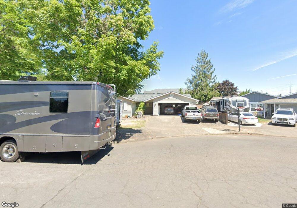
3505 18th Place Forest Grove, OR 97116
Estimated Value: $466,000 - $501,995
3
Beds
2
Baths
1,524
Sq Ft
$322/Sq Ft
Est. Value
About This Home
This home is located at 3505 18th Place, Forest Grove, OR 97116 and is currently estimated at $490,249, approximately $321 per square foot. 3505 18th Place is a home located in Washington County with nearby schools including Joseph Gale Elementary School, Neil Armstrong Middle School, and Tom McCall Upper Elementary School.
Ownership History
Date
Name
Owned For
Owner Type
Purchase Details
Closed on
Oct 2, 1996
Sold by
Jordan Charles B
Bought by
Jordan Catherine M
Current Estimated Value
Home Financials for this Owner
Home Financials are based on the most recent Mortgage that was taken out on this home.
Original Mortgage
$50,000
Interest Rate
8.3%
Mortgage Type
Purchase Money Mortgage
Create a Home Valuation Report for This Property
The Home Valuation Report is an in-depth analysis detailing your home's value as well as a comparison with similar homes in the area
Home Values in the Area
Average Home Value in this Area
Purchase History
| Date | Buyer | Sale Price | Title Company |
|---|---|---|---|
| Jordan Catherine M | -- | Chicago Title Insurance Co |
Source: Public Records
Mortgage History
| Date | Status | Borrower | Loan Amount |
|---|---|---|---|
| Closed | Jordan Catherine M | $50,000 |
Source: Public Records
Tax History Compared to Growth
Tax History
| Year | Tax Paid | Tax Assessment Tax Assessment Total Assessment is a certain percentage of the fair market value that is determined by local assessors to be the total taxable value of land and additions on the property. | Land | Improvement |
|---|---|---|---|---|
| 2026 | $4,397 | $246,920 | -- | -- |
| 2025 | $4,397 | $239,730 | -- | -- |
| 2024 | $4,242 | $232,750 | -- | -- |
| 2023 | $4,242 | $225,980 | $0 | $0 |
| 2022 | $3,709 | $225,980 | $0 | $0 |
| 2021 | $3,661 | $213,010 | $0 | $0 |
| 2020 | $3,641 | $206,810 | $0 | $0 |
| 2019 | $3,560 | $200,790 | $0 | $0 |
| 2018 | $3,451 | $194,950 | $0 | $0 |
| 2017 | $3,345 | $189,280 | $0 | $0 |
| 2016 | $3,250 | $183,770 | $0 | $0 |
| 2015 | $3,125 | $178,420 | $0 | $0 |
| 2014 | $3,110 | $173,230 | $0 | $0 |
Source: Public Records
Map
Nearby Homes
- 3404 19th Ave Unit 103
- 3404 19th Ave Unit 215
- 1835 Tamarack Ct
- 1832 Vine Ct
- 3831 Pacific Ave Unit D5
- 3831 Pacific Ave Unit D2
- 3213 Maple Place
- 3128 Brittany Dr
- 2902 19th Ave
- 3839 Pacific Ave Unit 102
- 0 Kingwood St
- 2824 19th Ave
- 2366 Kingwood St
- 2815 18th Ave
- 2828 22nd Ave Unit 3
- 2828 22nd Ave Unit 5
- 2369 NW Martin Rd
- 2303 NW Martin Rd
- 2341 NW Martin Rd
- 0 22nd Ave Unit 11
- 3515 18th Place
- 1839 Poplar St
- 1820 Poplar St
- 1832 Poplar St
- 3469 Poplar Ct
- 1835 Poplar St
- 3519 18th Place
- 3463 Poplar Ct
- 3463 Poplar Ct
- 3506 18th Place
- 3457 Poplar Cir
- 1840 Poplar St
- 3518 18th Place
- 3457 Poplar Ct
- 3462 Poplar Cir
- 3451 Poplar Ct
- 3456 Poplar Cir
- 1844 Poplar St
- 1745 Poplar St
- 1900 Poplar St