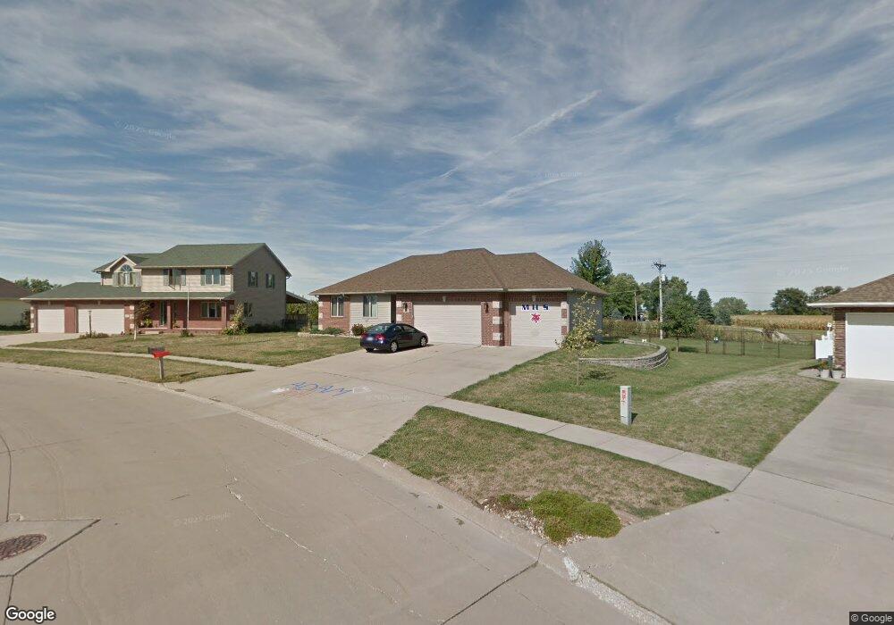
3505 Merritt Rd Marshalltown, IA 50158
Estimated Value: $324,587 - $338,000
3
Beds
2
Baths
1,900
Sq Ft
$175/Sq Ft
Est. Value
About This Home
This home is located at 3505 Merritt Rd, Marshalltown, IA 50158 and is currently estimated at $331,897, approximately $174 per square foot. 3505 Merritt Rd is a home located in Marshall County with nearby schools including Franklin Elementary School, B.R. Miller Middle School, and Marshalltown High School.
Ownership History
Date
Name
Owned For
Owner Type
Purchase Details
Closed on
Apr 29, 2010
Sold by
United Bank & Trust N A
Bought by
Willman Charles and Willman Suanne
Current Estimated Value
Home Financials for this Owner
Home Financials are based on the most recent Mortgage that was taken out on this home.
Original Mortgage
$184,594
Outstanding Balance
$124,759
Interest Rate
5.3%
Mortgage Type
FHA
Estimated Equity
$207,138
Purchase Details
Closed on
Aug 27, 2009
Sold by
Woodsmall Donnie R
Bought by
United Bank & Trust Na
Purchase Details
Closed on
Aug 19, 2005
Sold by
Woodsmall Marie Yolanda
Bought by
Woodsmall Donnie Ray
Create a Home Valuation Report for This Property
The Home Valuation Report is an in-depth analysis detailing your home's value as well as a comparison with similar homes in the area
Home Values in the Area
Average Home Value in this Area
Purchase History
| Date | Buyer | Sale Price | Title Company |
|---|---|---|---|
| Willman Charles | $188,000 | -- | |
| United Bank & Trust Na | -- | None Available | |
| Woodsmall Donnie Ray | -- | None Available |
Source: Public Records
Mortgage History
| Date | Status | Borrower | Loan Amount |
|---|---|---|---|
| Open | Willman Charles | $184,594 |
Source: Public Records
Tax History Compared to Growth
Tax History
| Year | Tax Paid | Tax Assessment Tax Assessment Total Assessment is a certain percentage of the fair market value that is determined by local assessors to be the total taxable value of land and additions on the property. | Land | Improvement |
|---|---|---|---|---|
| 2024 | $5,168 | $277,810 | $44,580 | $233,230 |
| 2023 | $5,712 | $277,810 | $44,580 | $233,230 |
| 2022 | $5,776 | $264,030 | $28,950 | $235,080 |
| 2021 | $5,584 | $264,030 | $28,950 | $235,080 |
| 2020 | $5,788 | $245,570 | $28,950 | $216,620 |
Source: Public Records
Map
Nearby Homes
- 2341 Marshalltown Blvd Unit D
- 611 Garland Dr
- 2502 Reyclif Dr
- 2602 Ridge Rd
- 1007 E Southridge Rd
- 1608 W Lincoln Way
- 2604 Hilltop Dr
- 2506 Fremont St
- 502 Brentwood Rd
- 1701 W Main St
- 1213 W Anson St
- 1518 W Main St
- 1511 W State St
- 1402 W Main St
- 1312 W Church St
- 8 N 14th St
- 1501 Summit St
- 310 Sugar Plum Place
- 1516 Kalsem Blvd
- 1601 Greenfield Dr
- 3503 Merritt Rd
- 2371 Marshalltown Blvd
- 3506 Merritt Rd
- 3509 Merritt Rd
- 3501 Merritt Rd
- 3504 Merritt Rd
- 2369 Marshalltown Blvd
- 3511 Merritt Rd
- 3511 Merritt Rd
- 3511 Merritt Rd
- 3511 Merritt Rd
- 3511 Merritt Rd
- 3409 Merritt Rd
- 3502 Merritt Rd
- 3315 Lily Ln
- 3318 Lily Ln
- 2379 Marshalltown Blvd
- 3313 Lily Ln
- 3407 Merritt Rd
- 3408 Merritt Rd